Departing Carnarvon and the WA coral coast our group of six vehicles and ten participants headed for the Kennedy Range National Park, known as Mundatharrda in the local Inggarda language. The journey east passed through wildflower meadows, past clay pans and pink lakes before arriving at Gascoyne Junction, a small township located where the Gascoyne and Lyons Rivers meet in the Shire of Upper Gascoyne. Gascoyne Junction is a small quiet settlement with not a person to be seen. It boasts a modern picnic area, auditorium, BBQs, toilets and a Cessna VH-DMT, all providing a perfect lunch stop, except for the flies. While not a remarkable plane, the Cessna had been used for aerial mustering in the region and was instrumental in the establishment of aerial mustering in Australia.
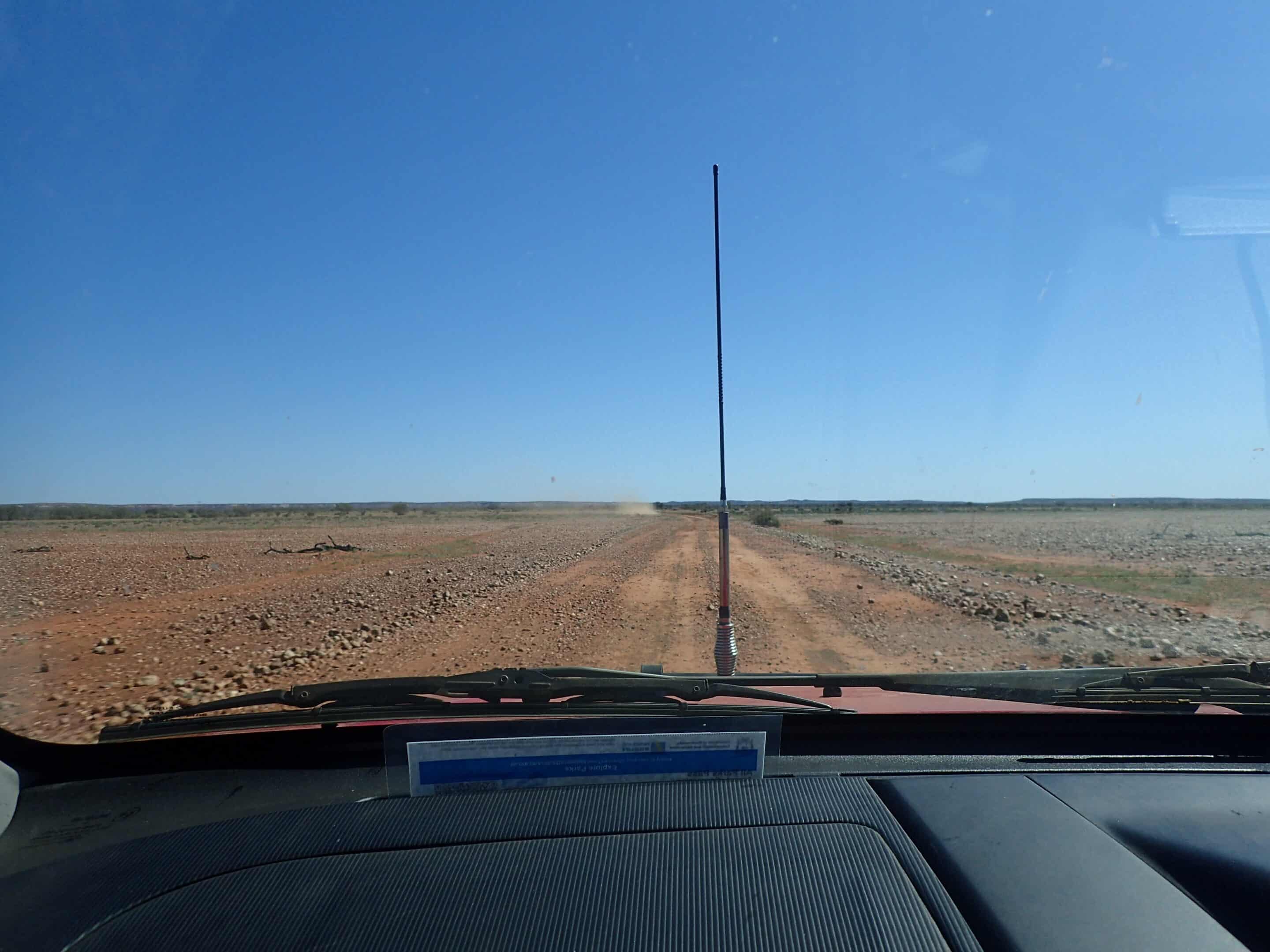
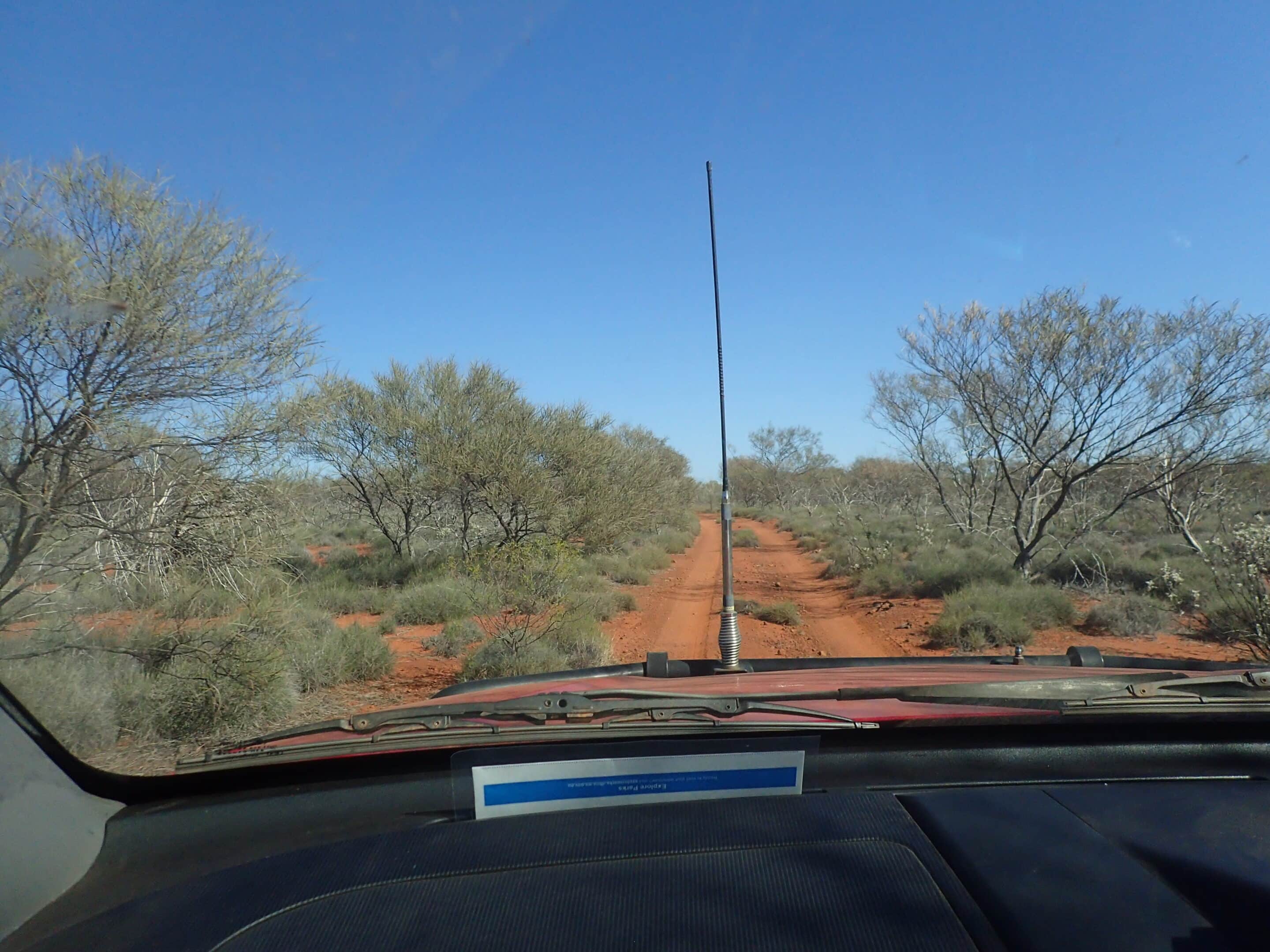
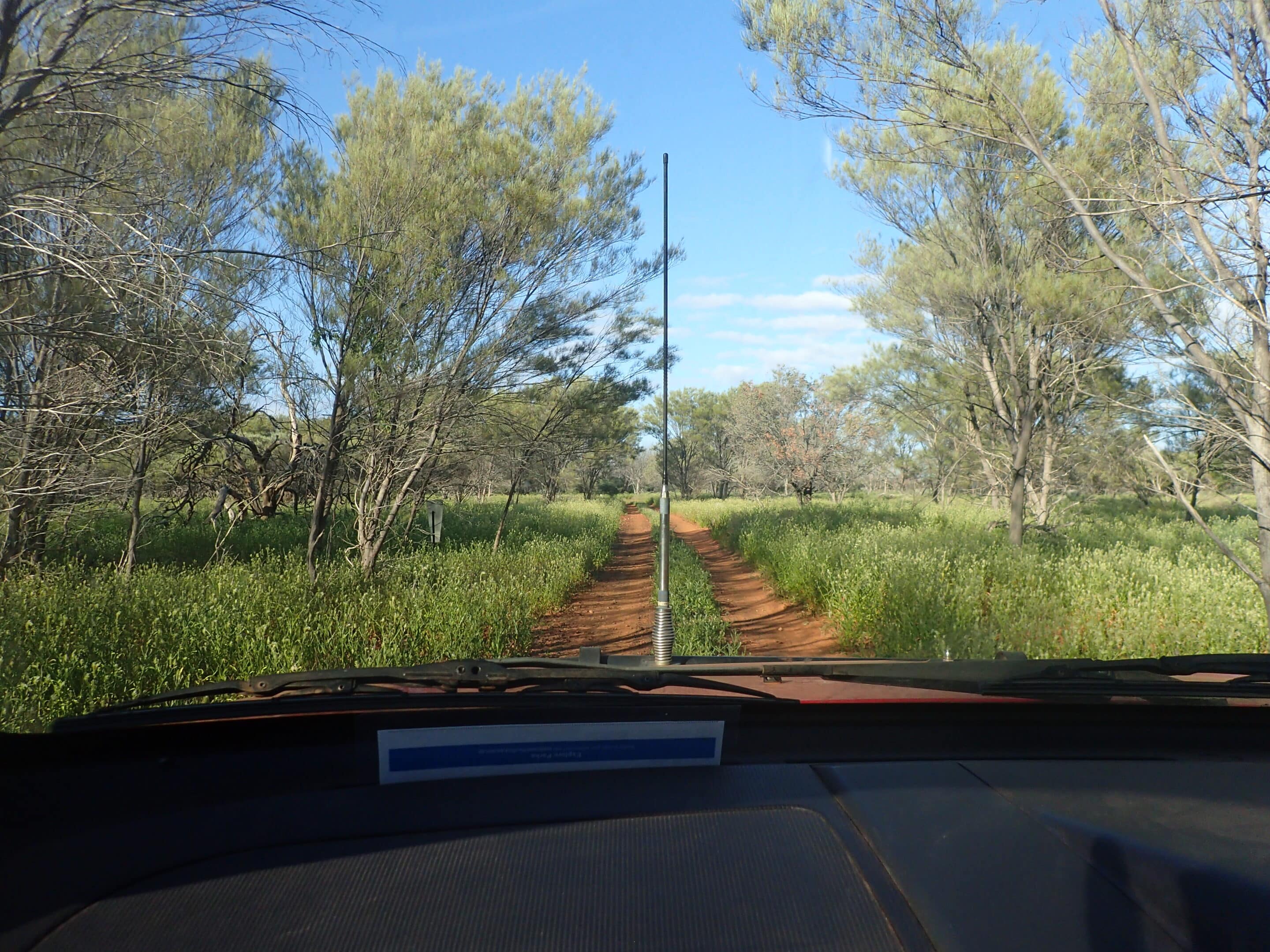
Crossing the Killili Bridge we began our 270km loop drive to and within the Kennedy Range National Park located 60km north of the Gascoyne Junction township. We endeavoured to find the historic Cobbled Road built in the 1920s as motorised vehicles replaced camels to transport mail and stores. Thankfully we weren’t using this road as I’m not sure we actually found it. It isn’t a difficult dirt drive to the eastern entrance to the park. Due to the ease of access, the Temple Gorge Campground is very popular but cannot be booked ahead, instead a camp host is based at the camp ground to manage visitors.
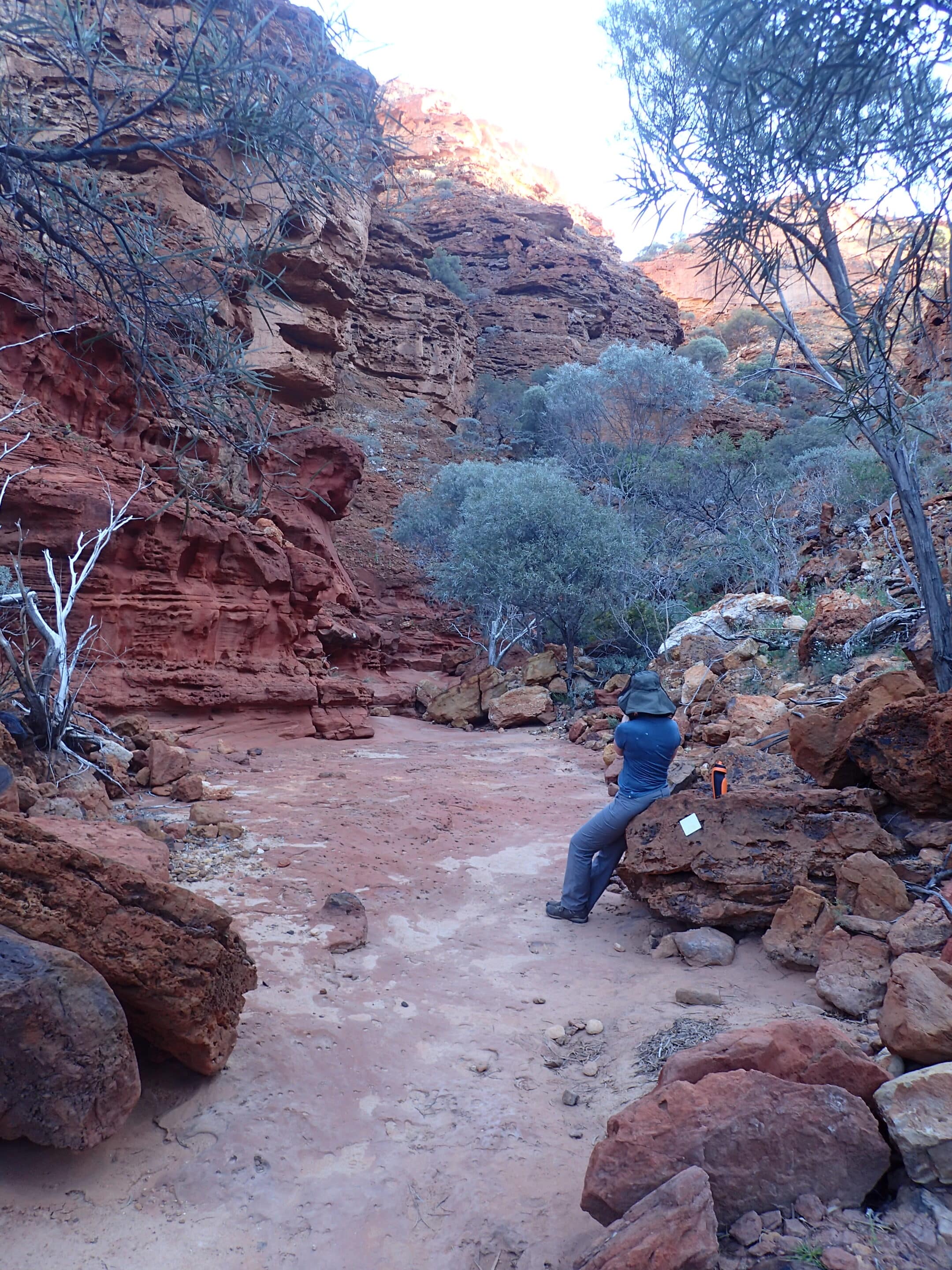
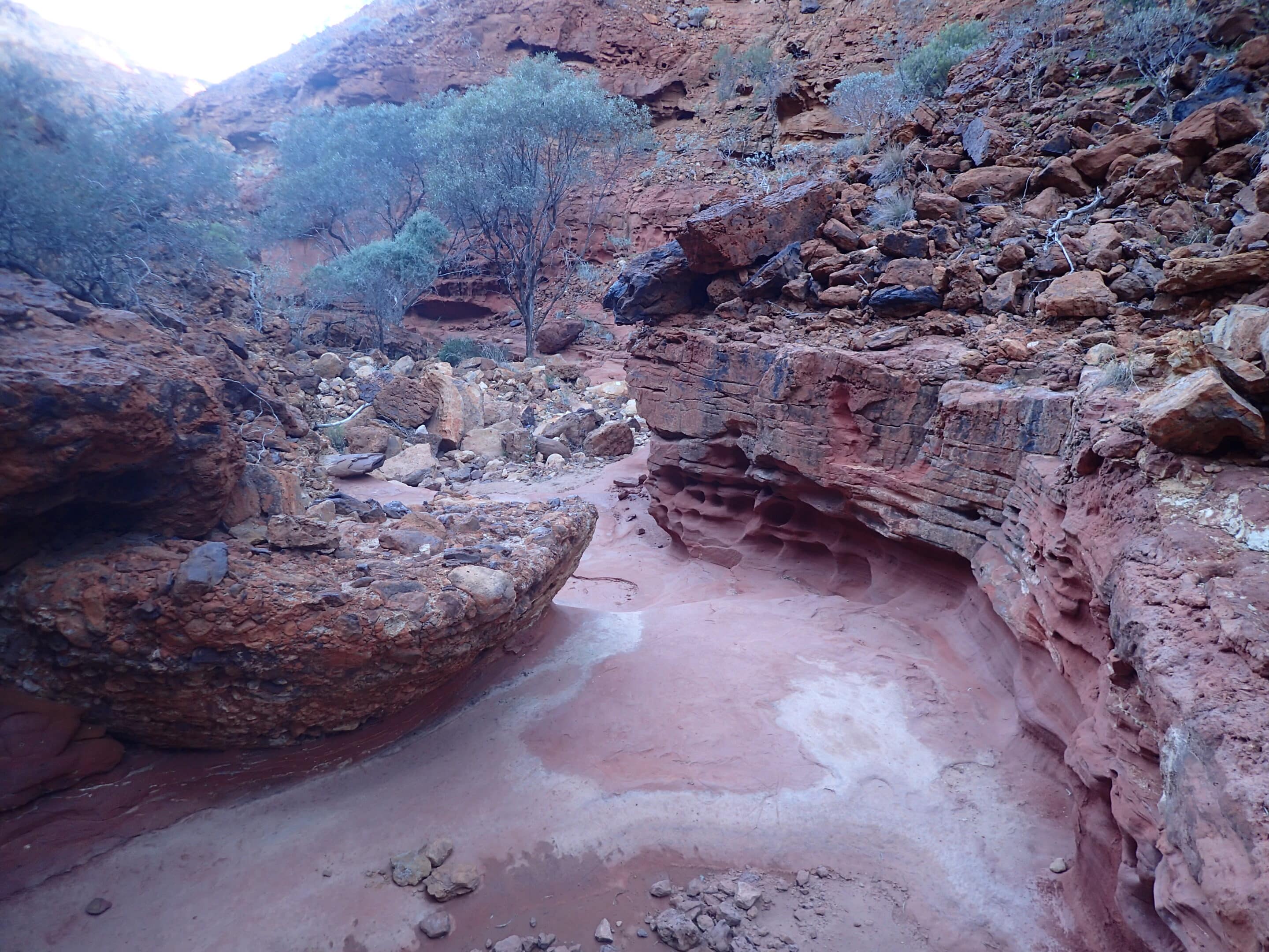
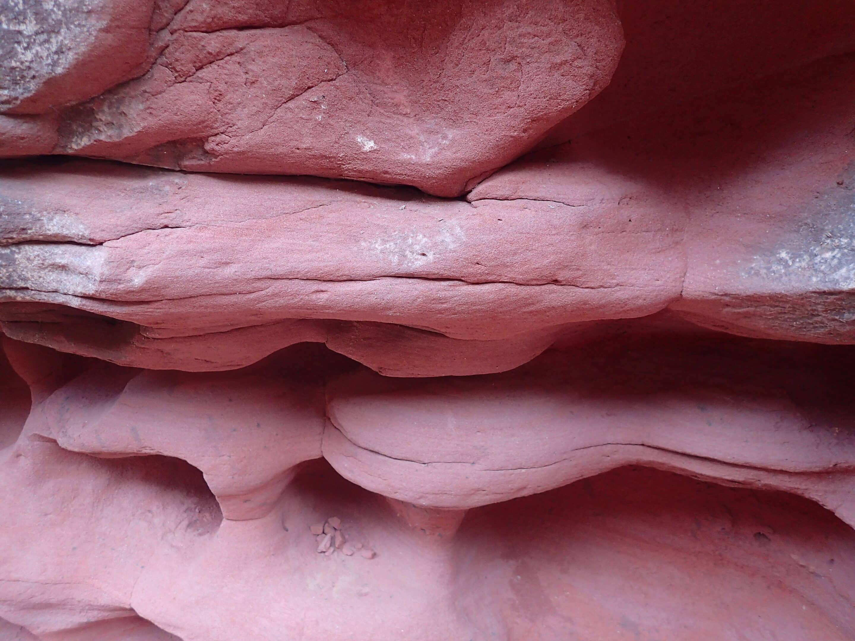
Having settled in for the afternoon we undertook the short 2km walk up Temple Gorge. The walk follows a creek bed surrounded by weathered pink rock faces. The walk provides some challenges as you traverse the boulder strewn trail ending at a seasonal rock pool. The flies continued to follow us.

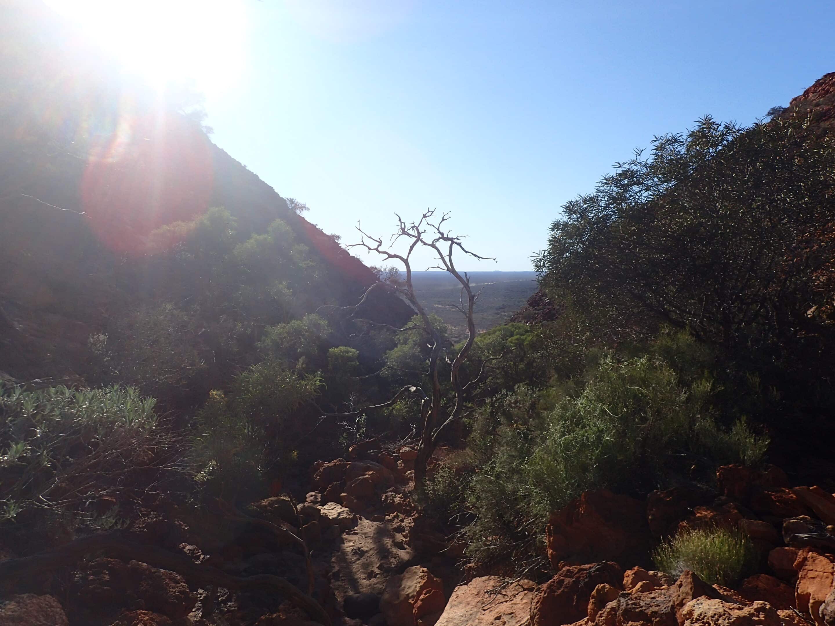
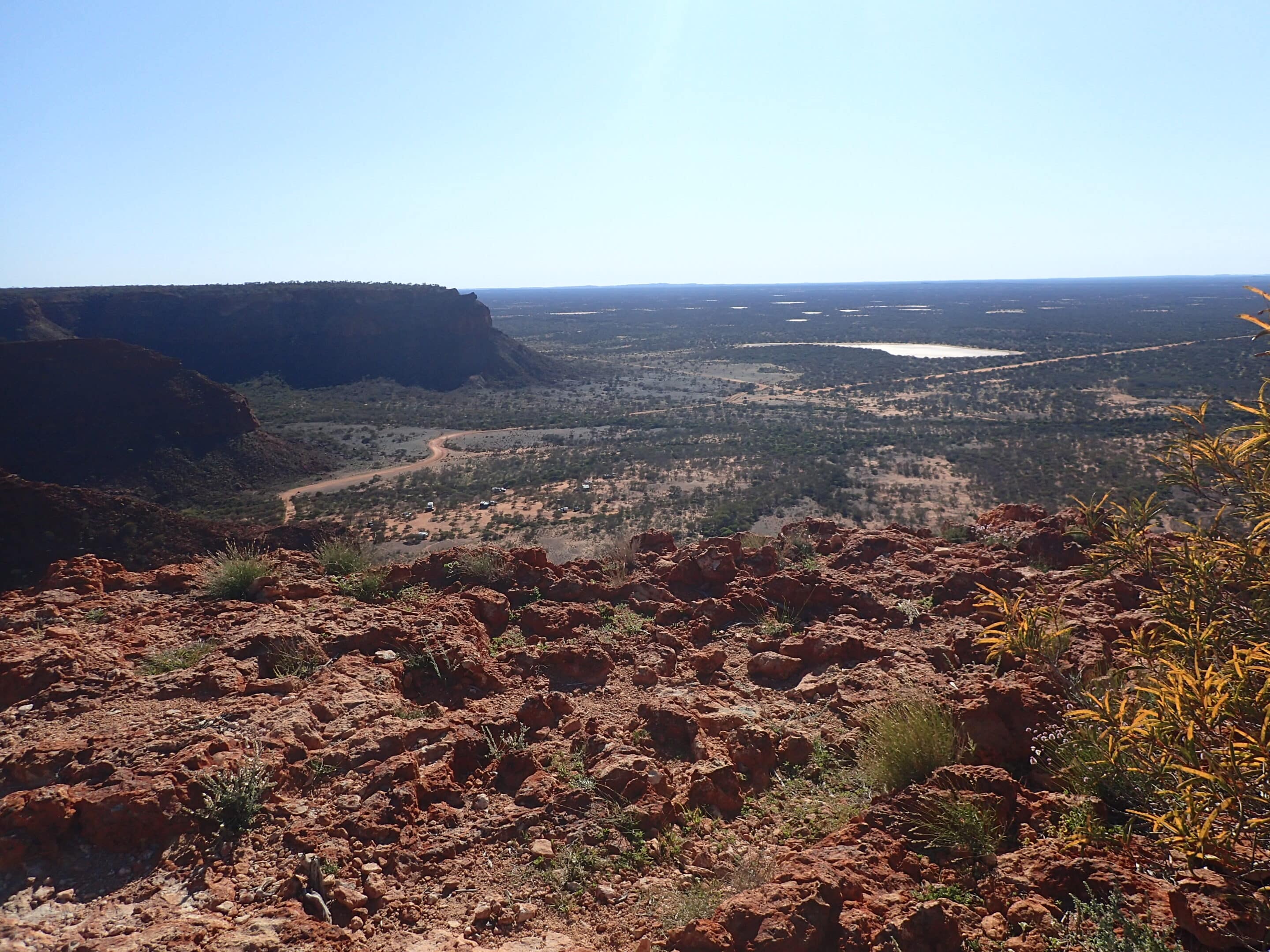
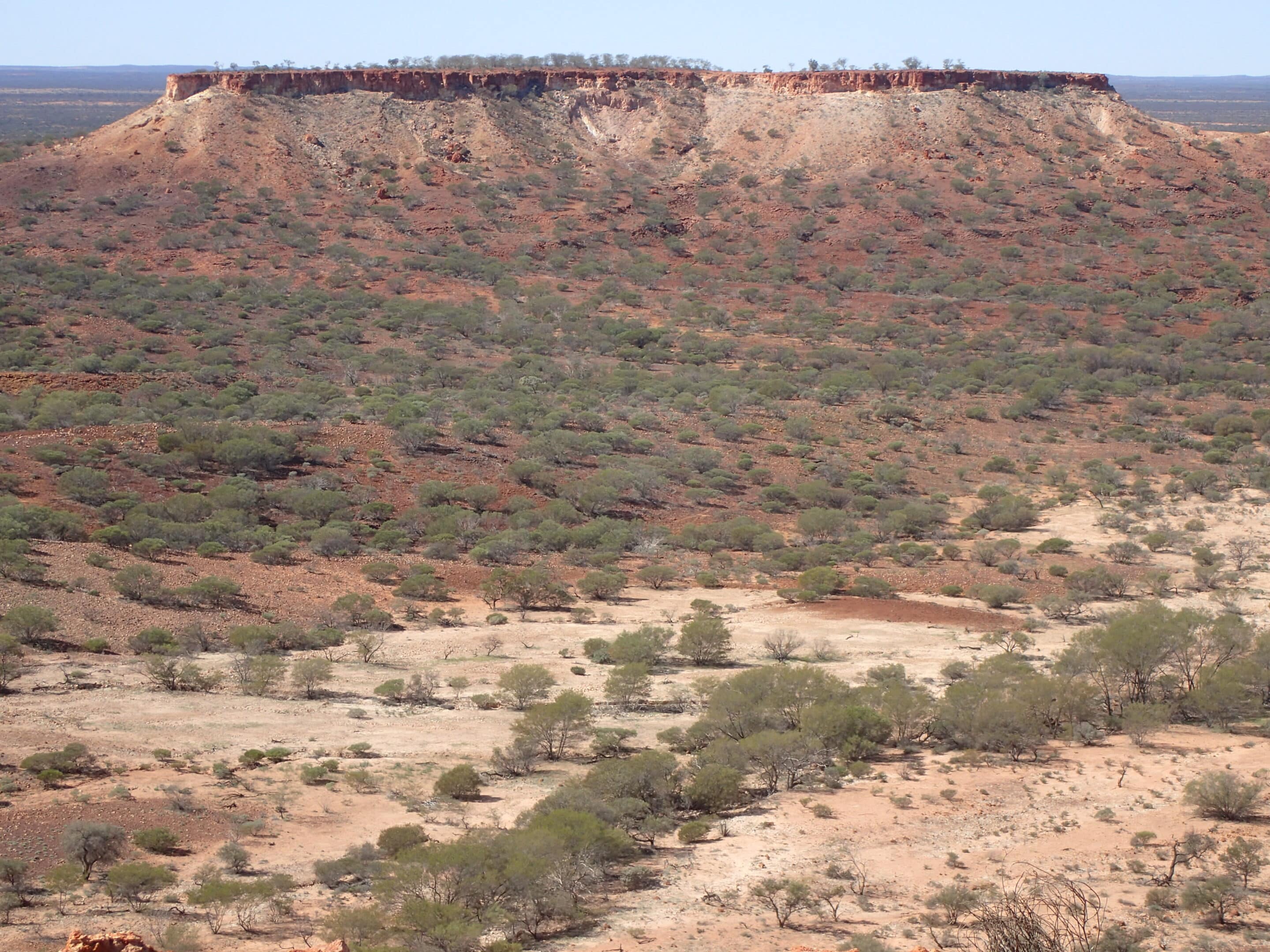
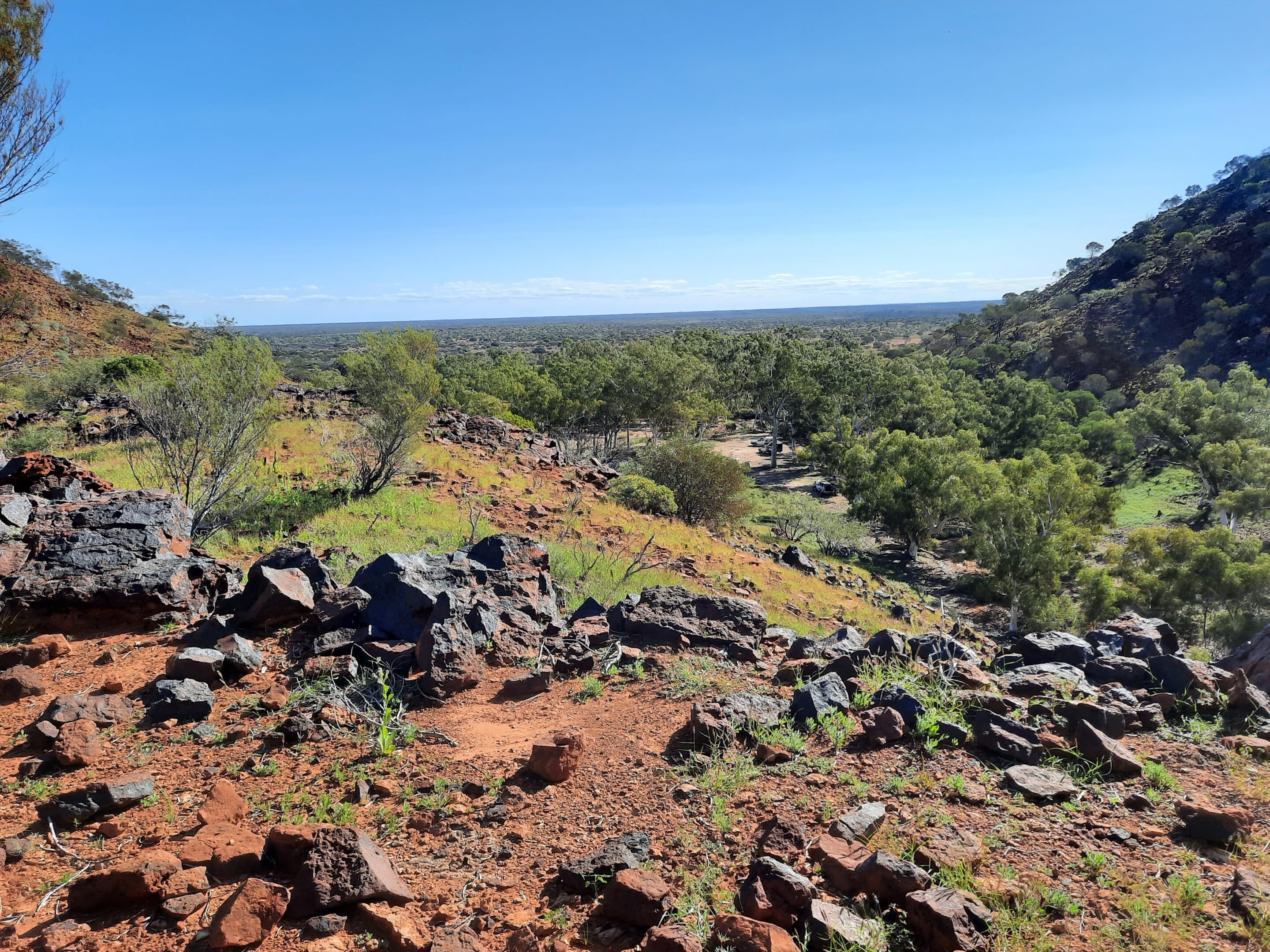
Day two and we began our day walking the 3.5km Escarpment Trail. The trail took us into a narrow gorge which rose to the top of the range. The spectacular views from the top were well worth the scrambling climb. The flies also enjoyed the views.
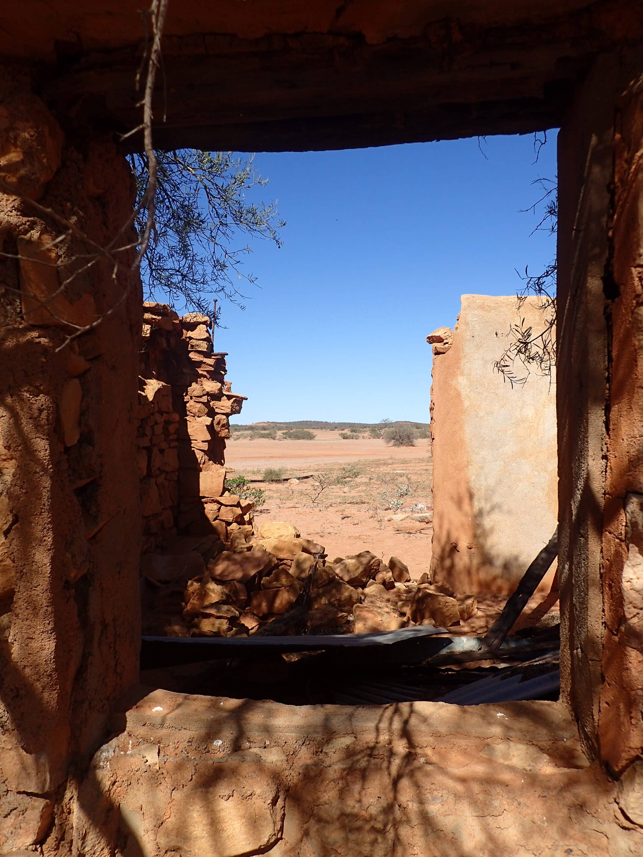
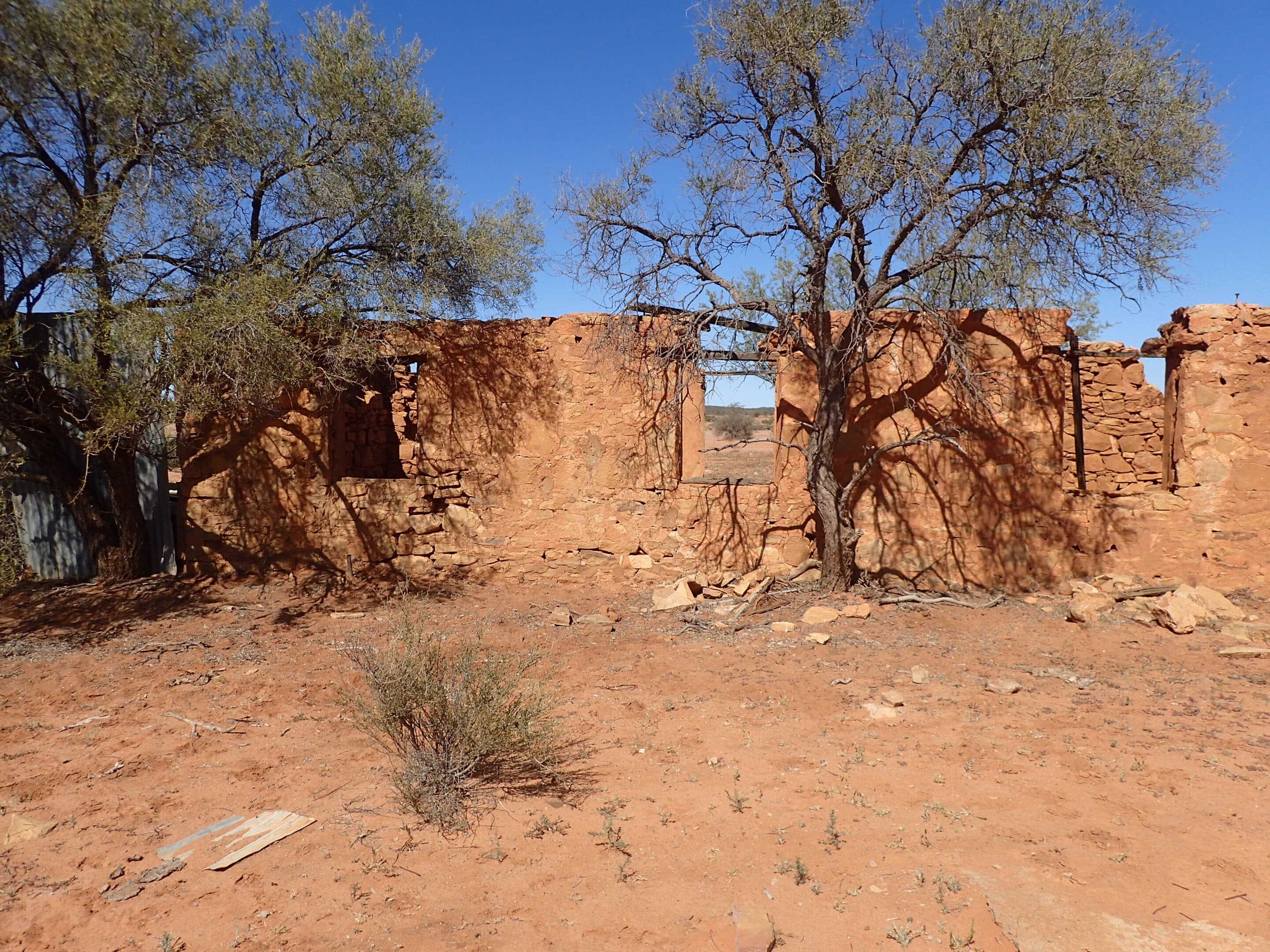
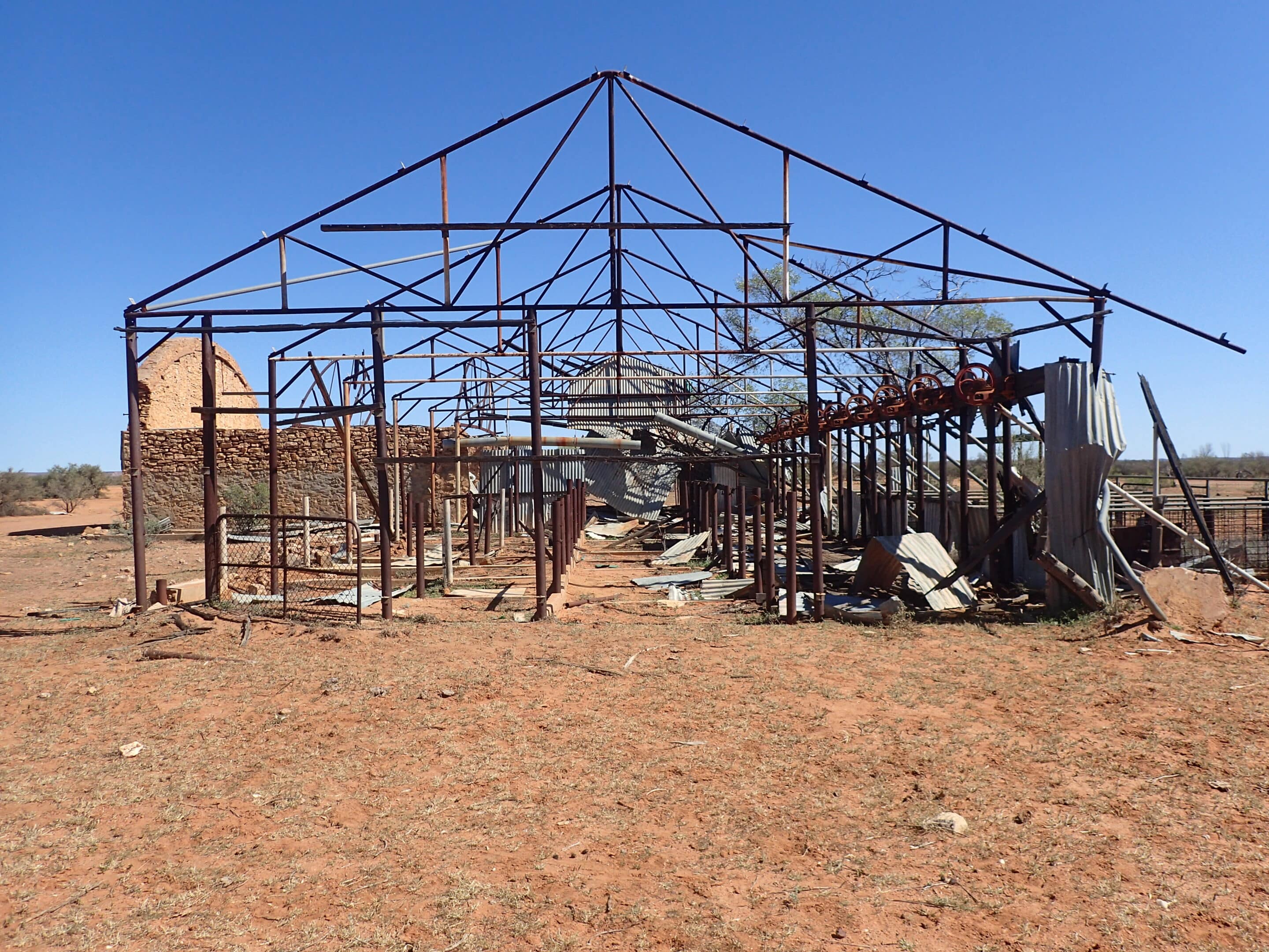
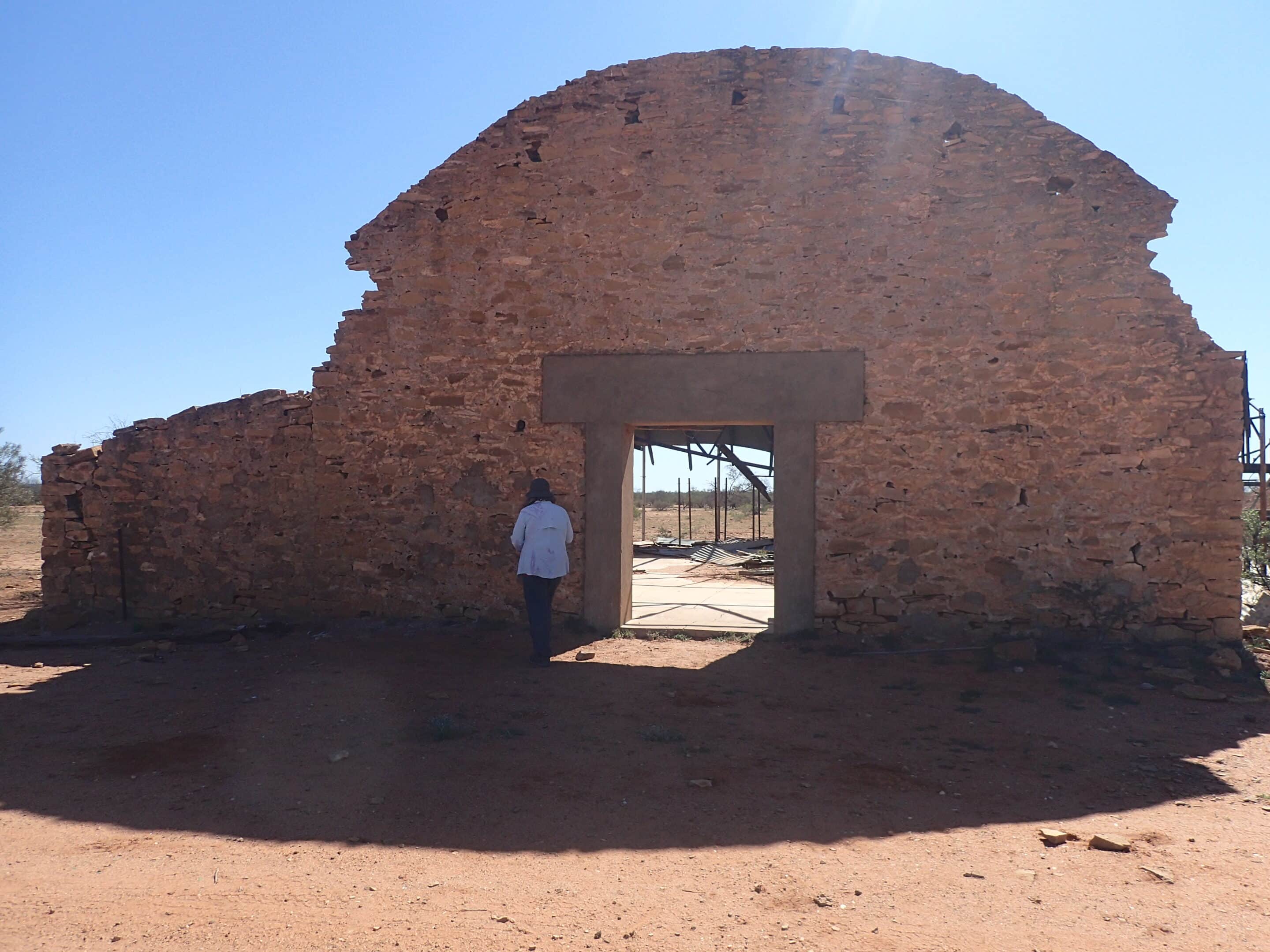
Having had our exercise for the day we drove away from the tourists and began the more remote sections of the loop. Heading north our first stop was at an old shearing shed and stone ruins. Pastoral leases had first been taken up in the 1880s.
From here we drove around the edge of the escarpment before gradually working our way up the range.
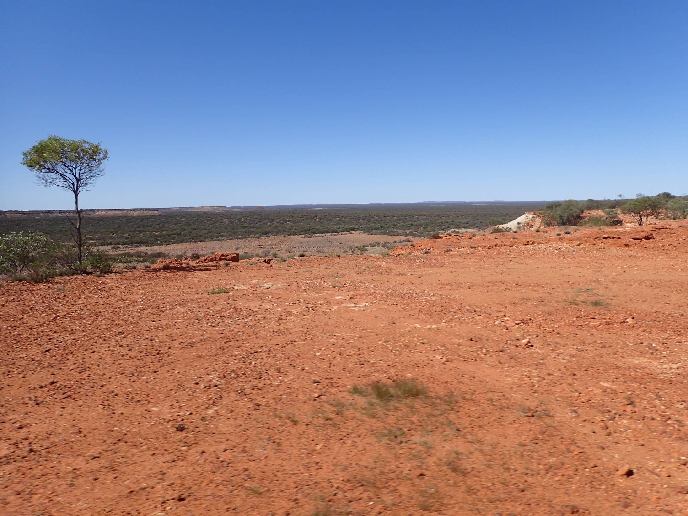
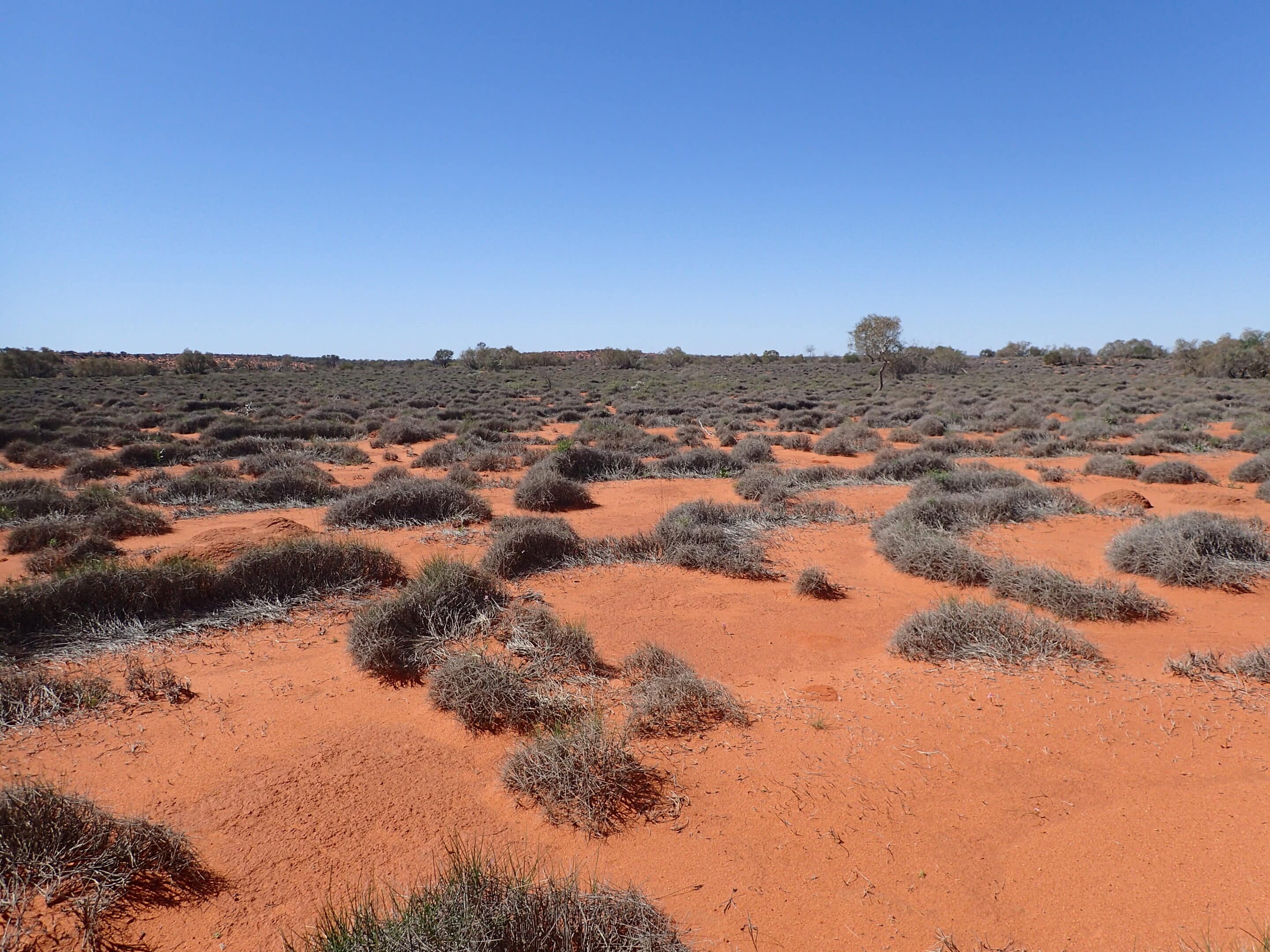
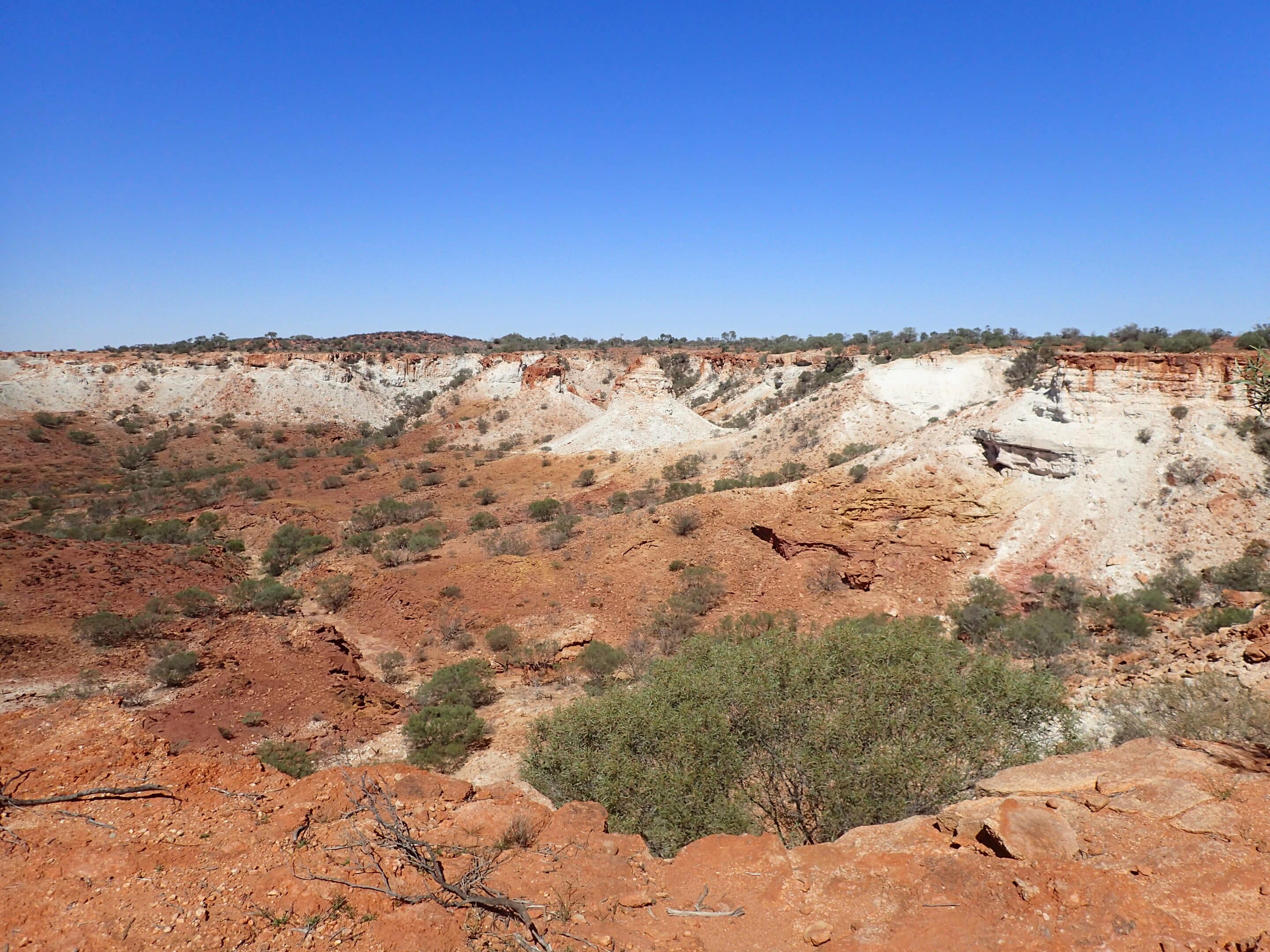
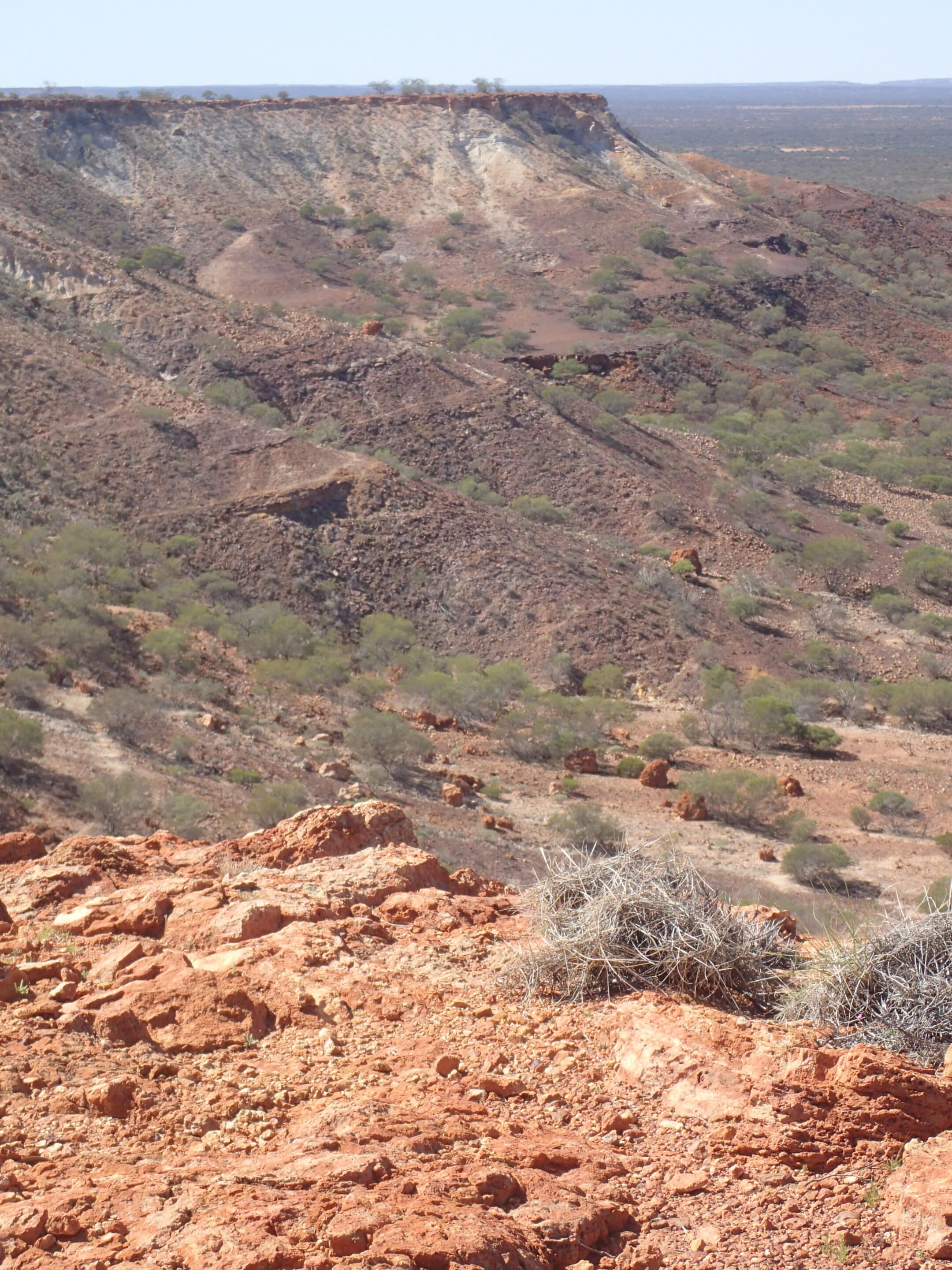
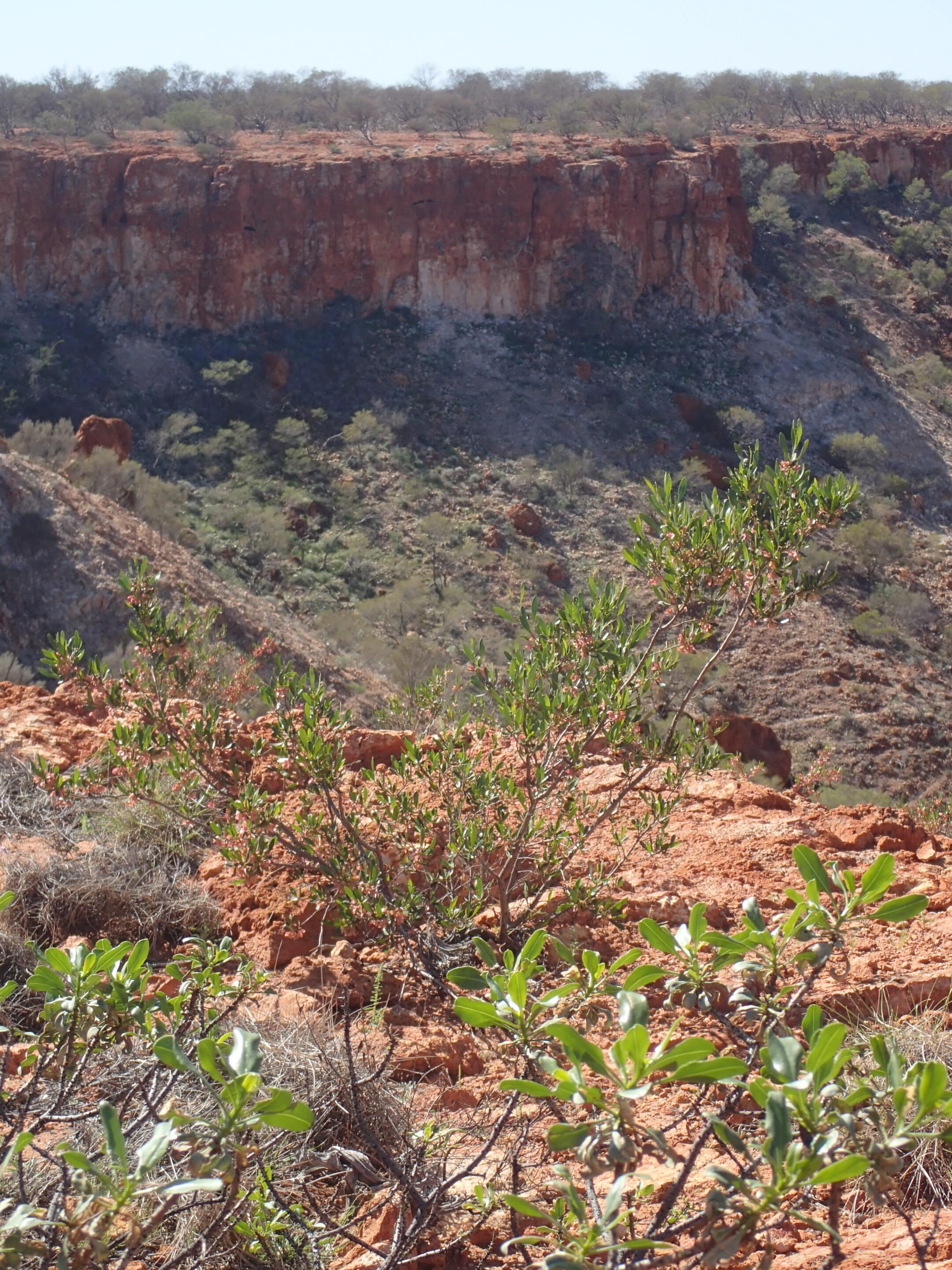
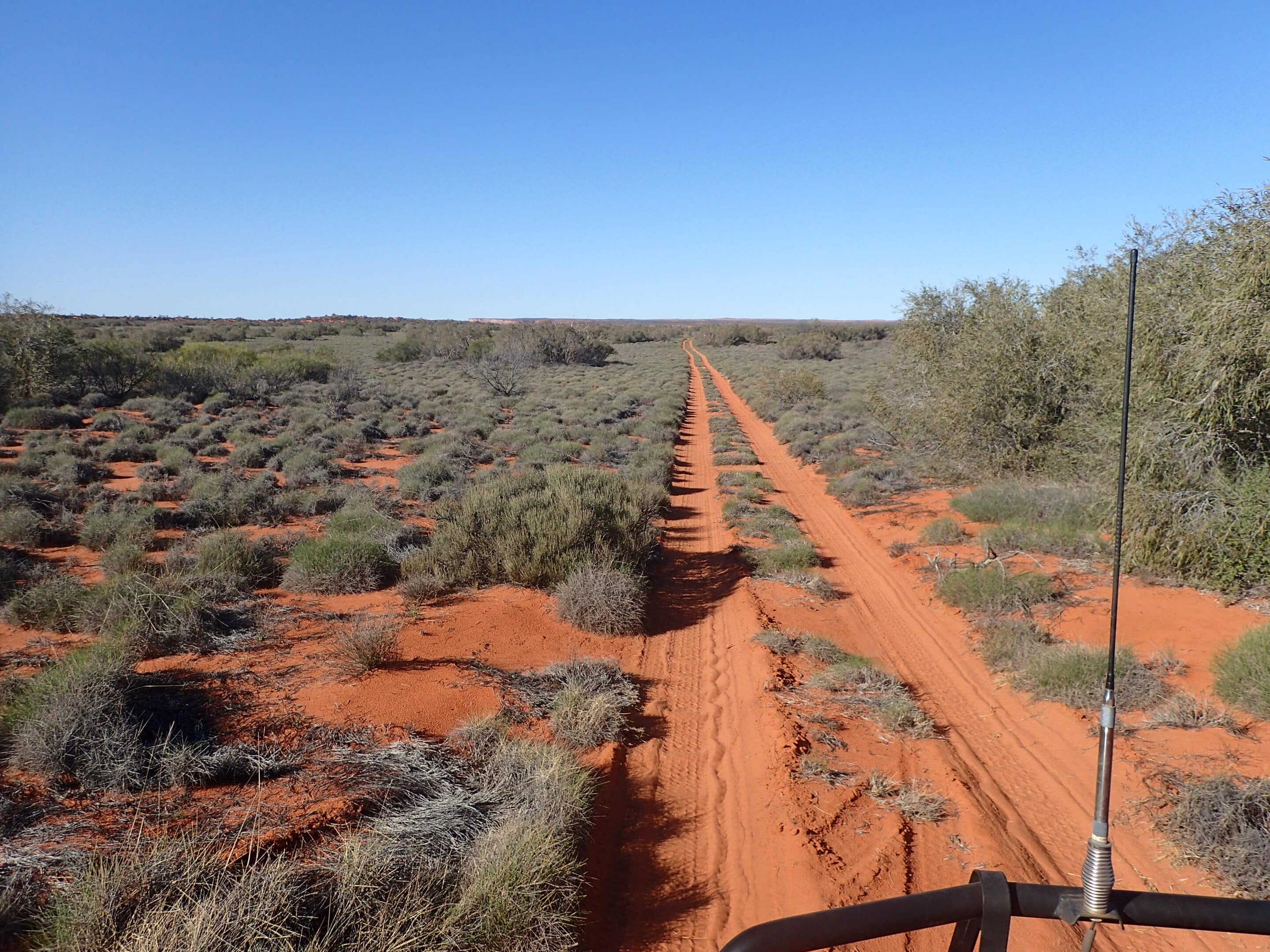
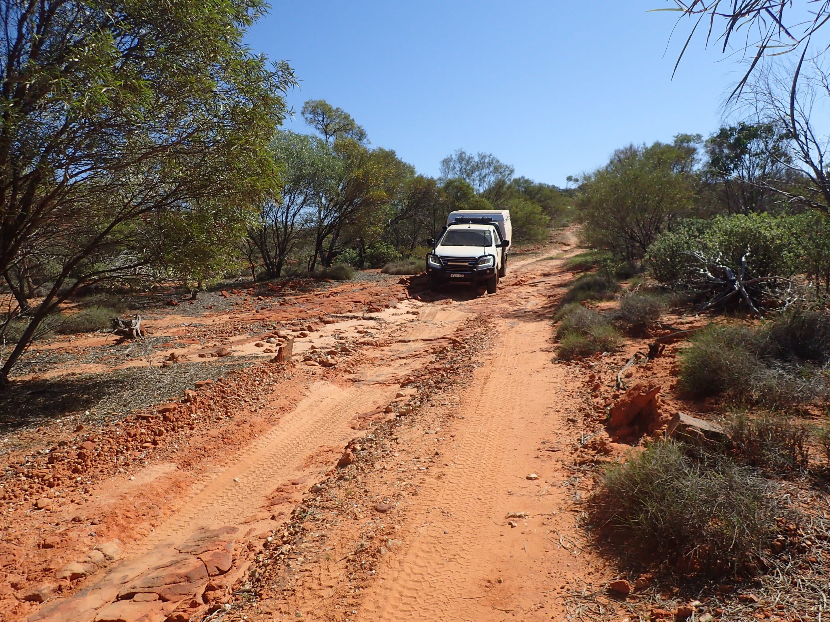
Lunch was at white stacks at the top of the escarpment. The track covers a variety of terrain including rows of red dunes, narrow sections following steep cliffs with endless views to the east, and a maze of steep-sided canyons to drive through over sharp rocks and along washed-out creek beds.
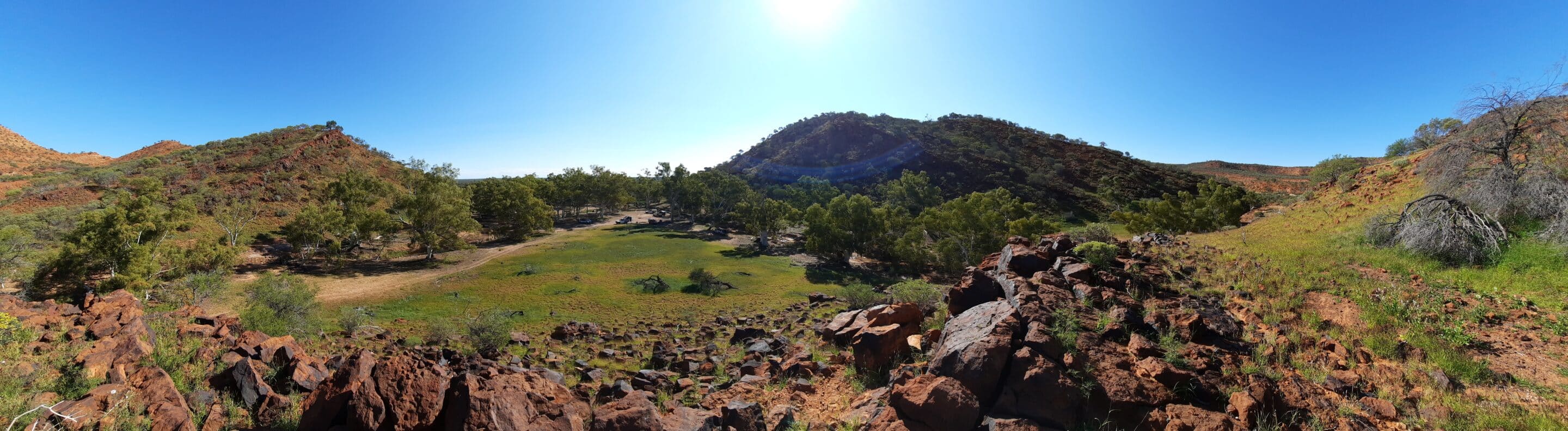
It was an early stop for camp with views to the east, known as the Grand Gorge. The flies were still with us.
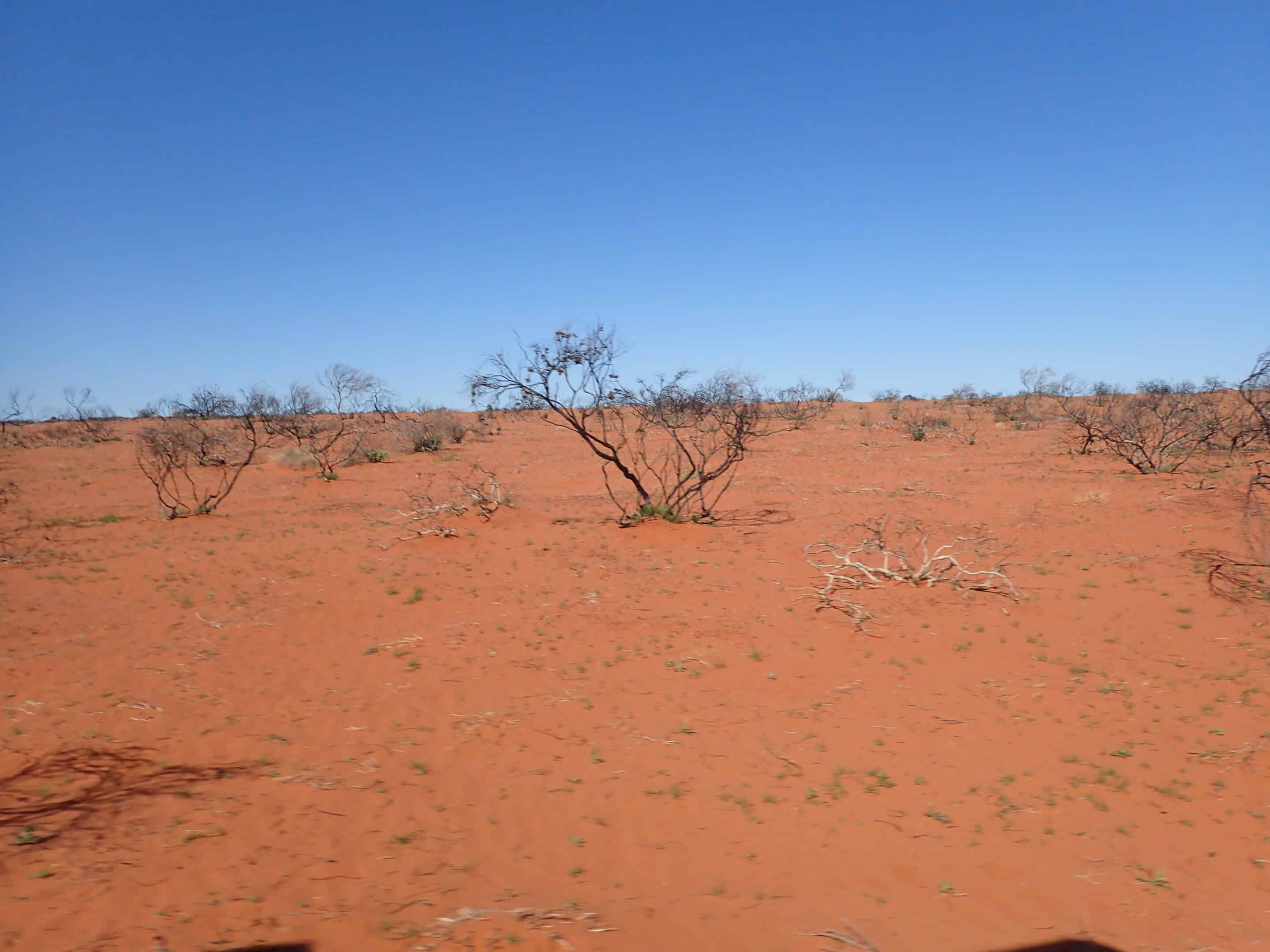
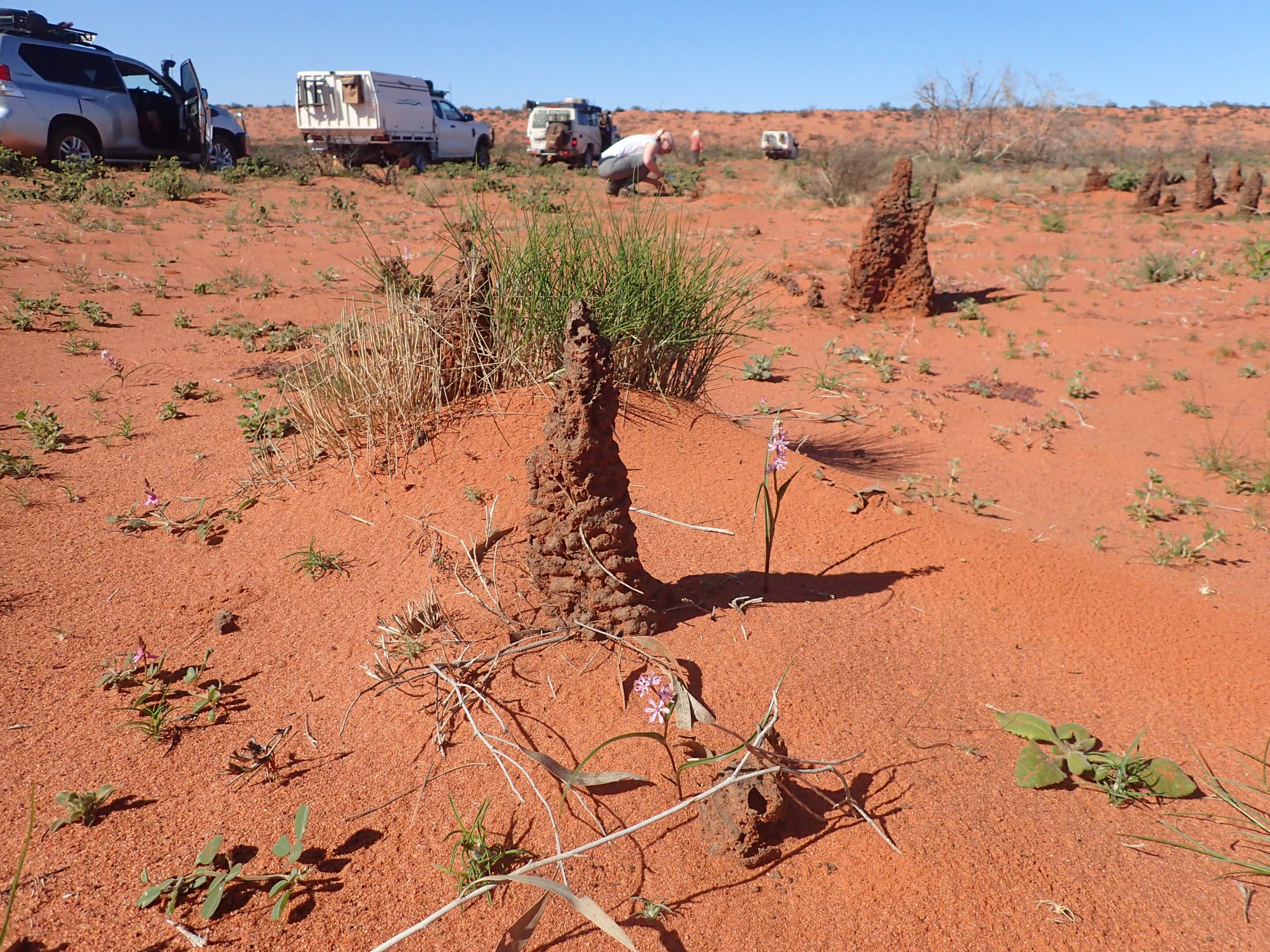
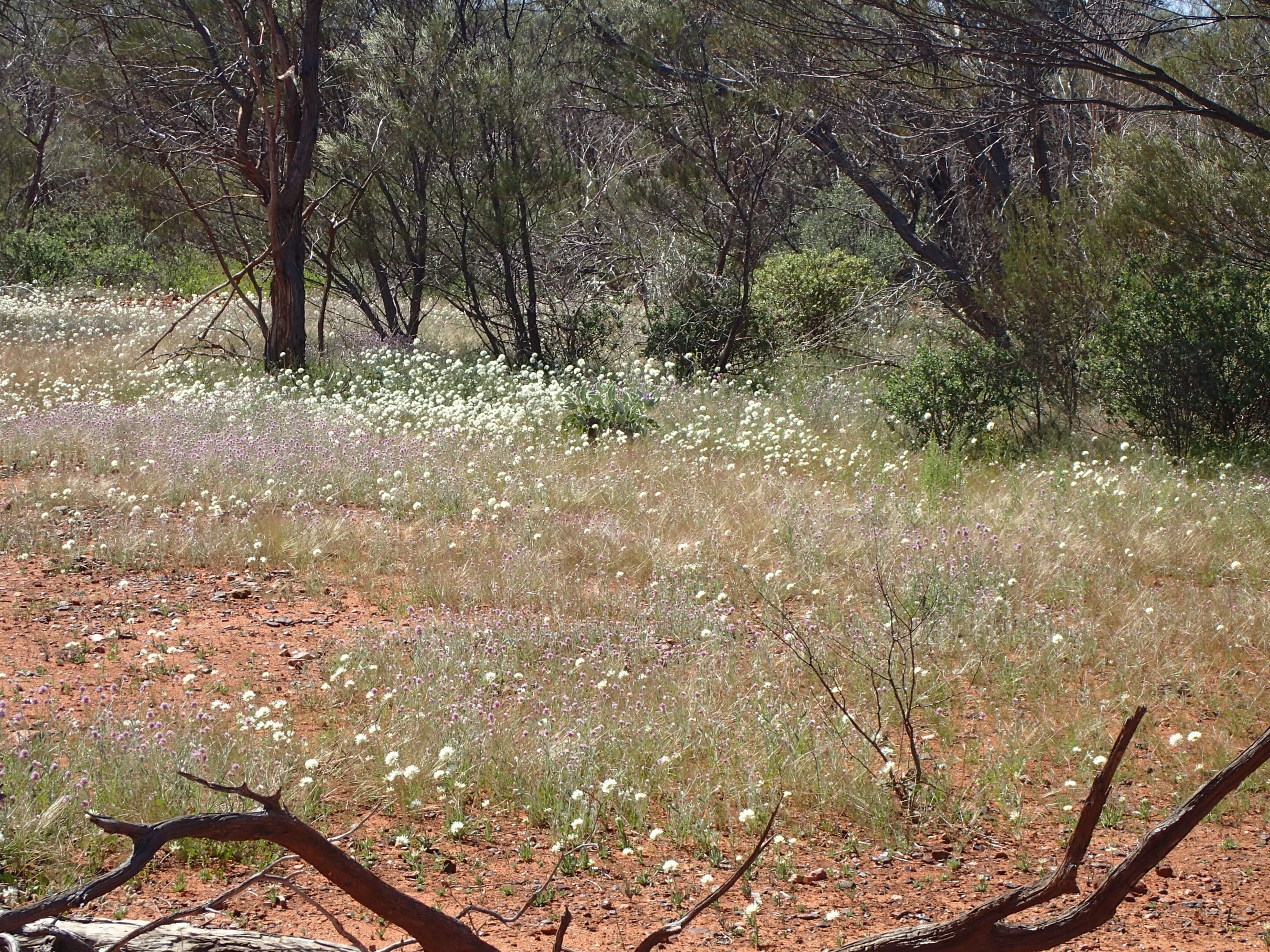
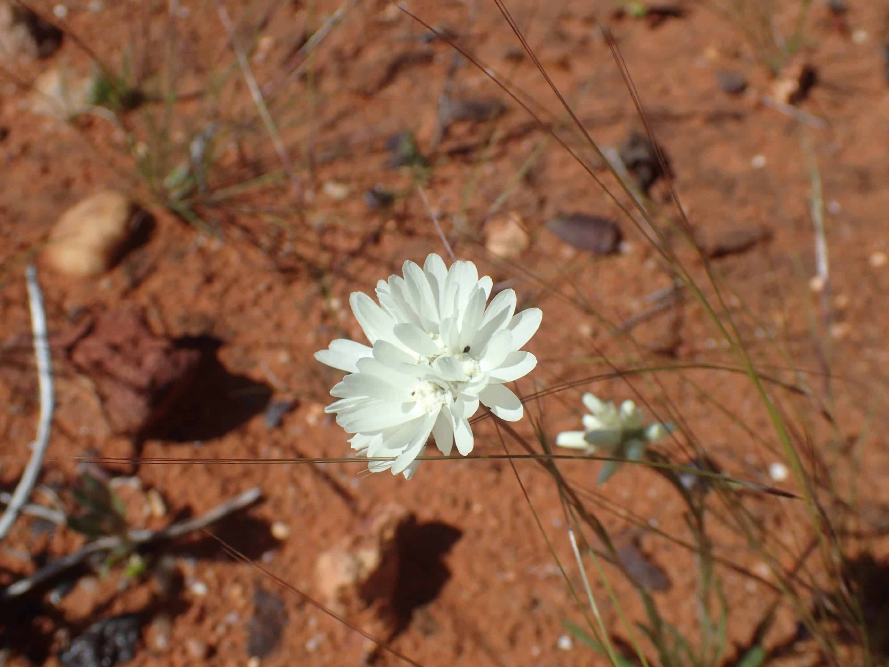
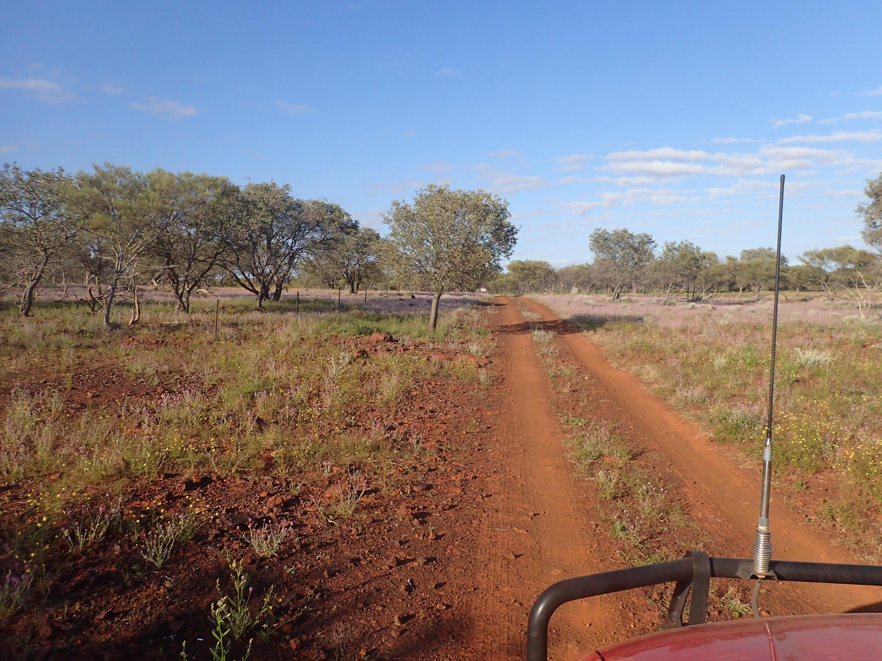
It was a relaxed start to Day 3 as we continued the slow and challenging drive south past a mesa knob, the dunes, the basin and Lake Julia. The scenery was always changing. Rock escarpment, dunes, desert red sand dunes, low shrubs, ex-farmland, and a clay, salt lake covered with masses of small pale pink flowers. The drive is slow with a twisting track, corrugations, jump ups and is single track only. We only met one vehicle.
Our final night on the track was at Chaffcutters Swamp with tall gums providing shade. It was a large campsite with a rocky hill overlooking the site. The flies enjoyed the site as well.
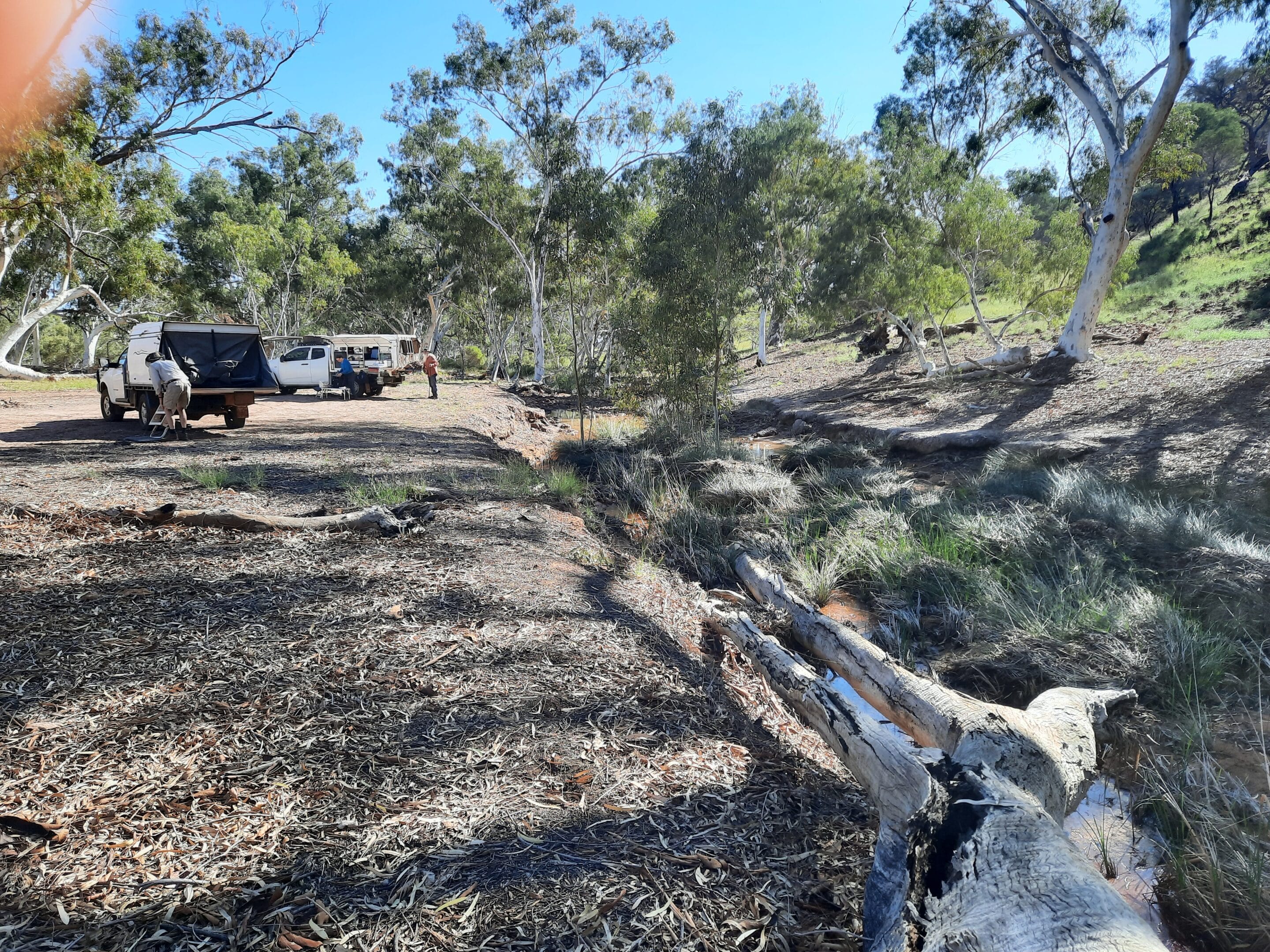
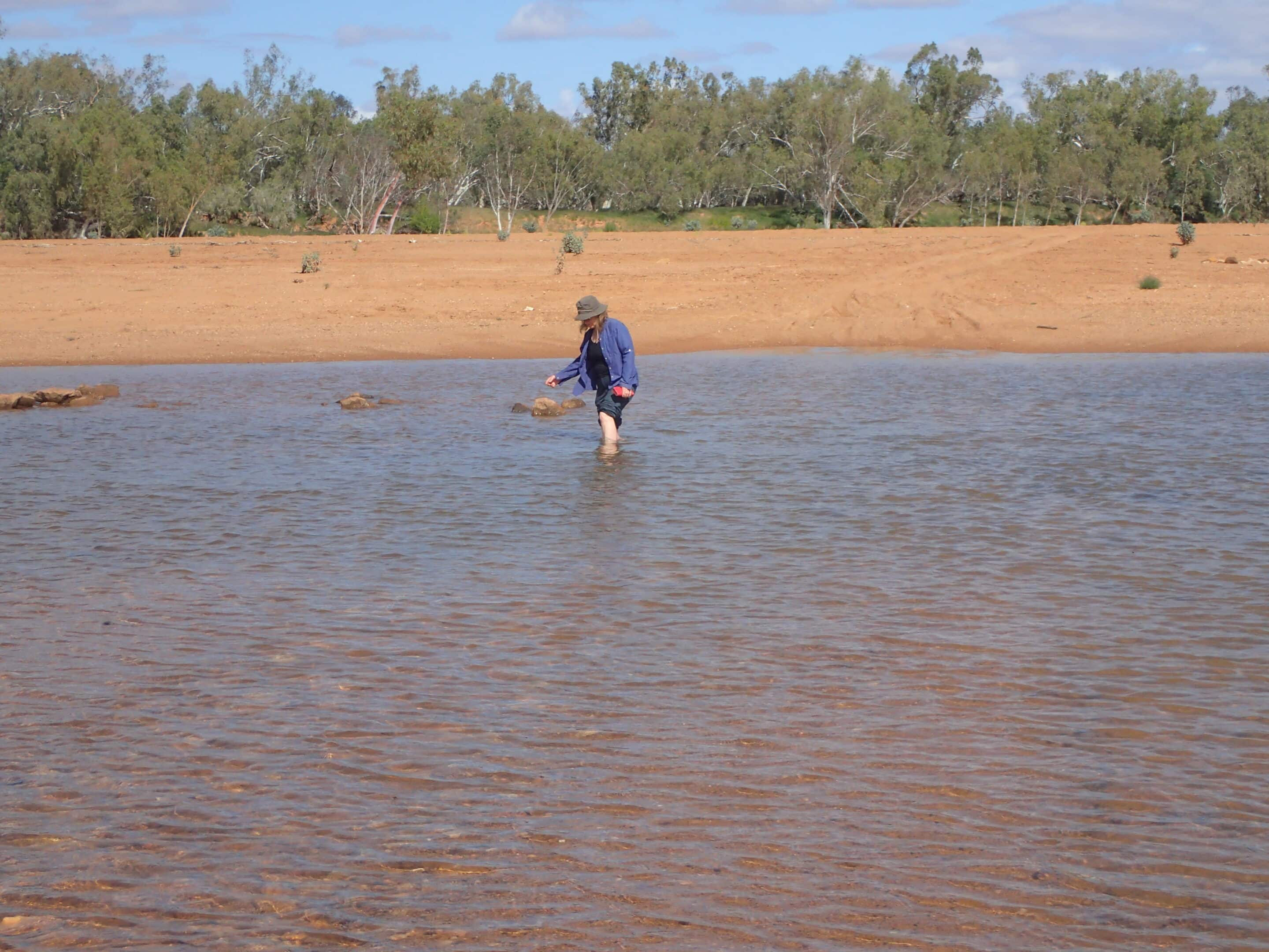
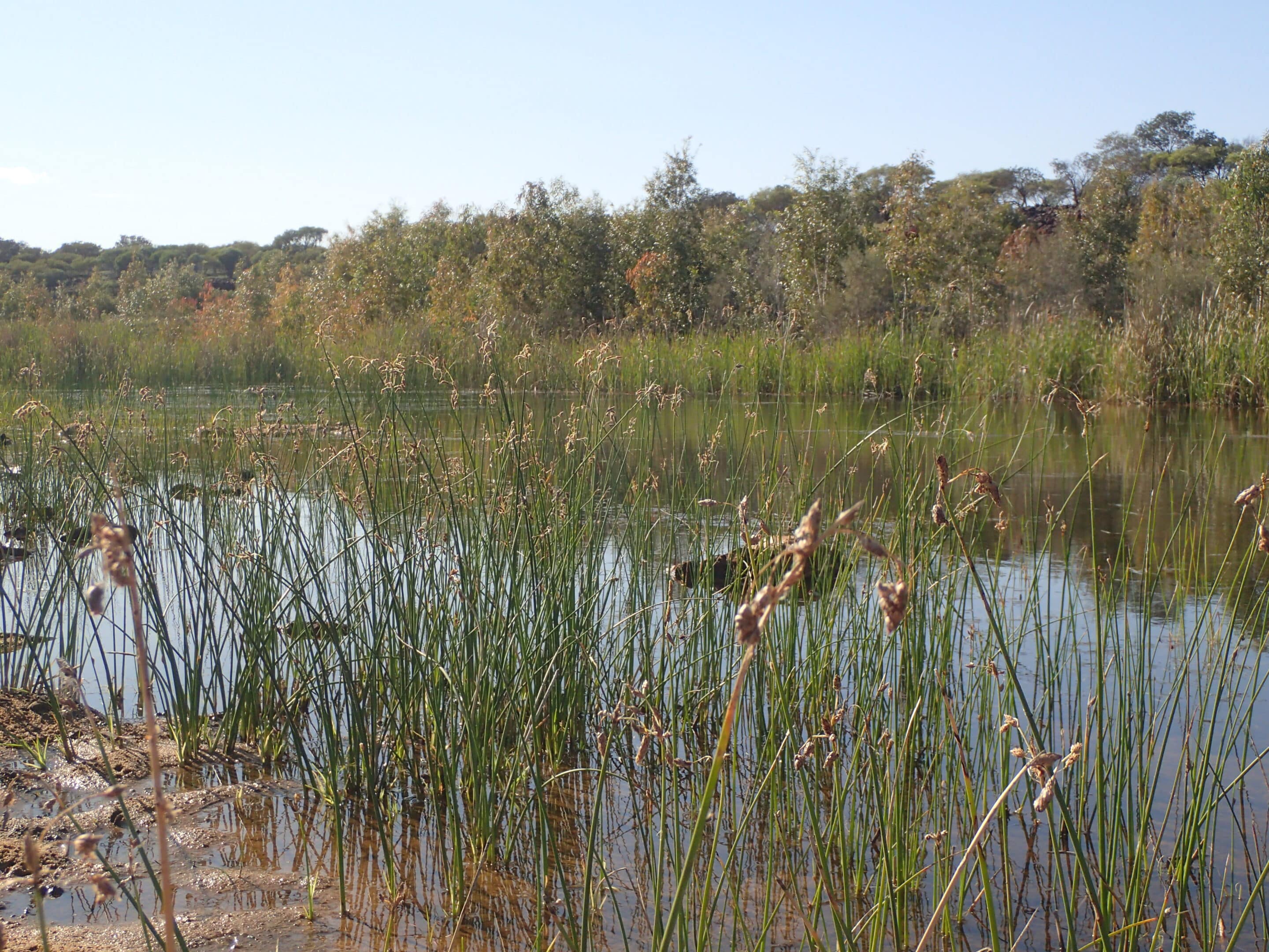
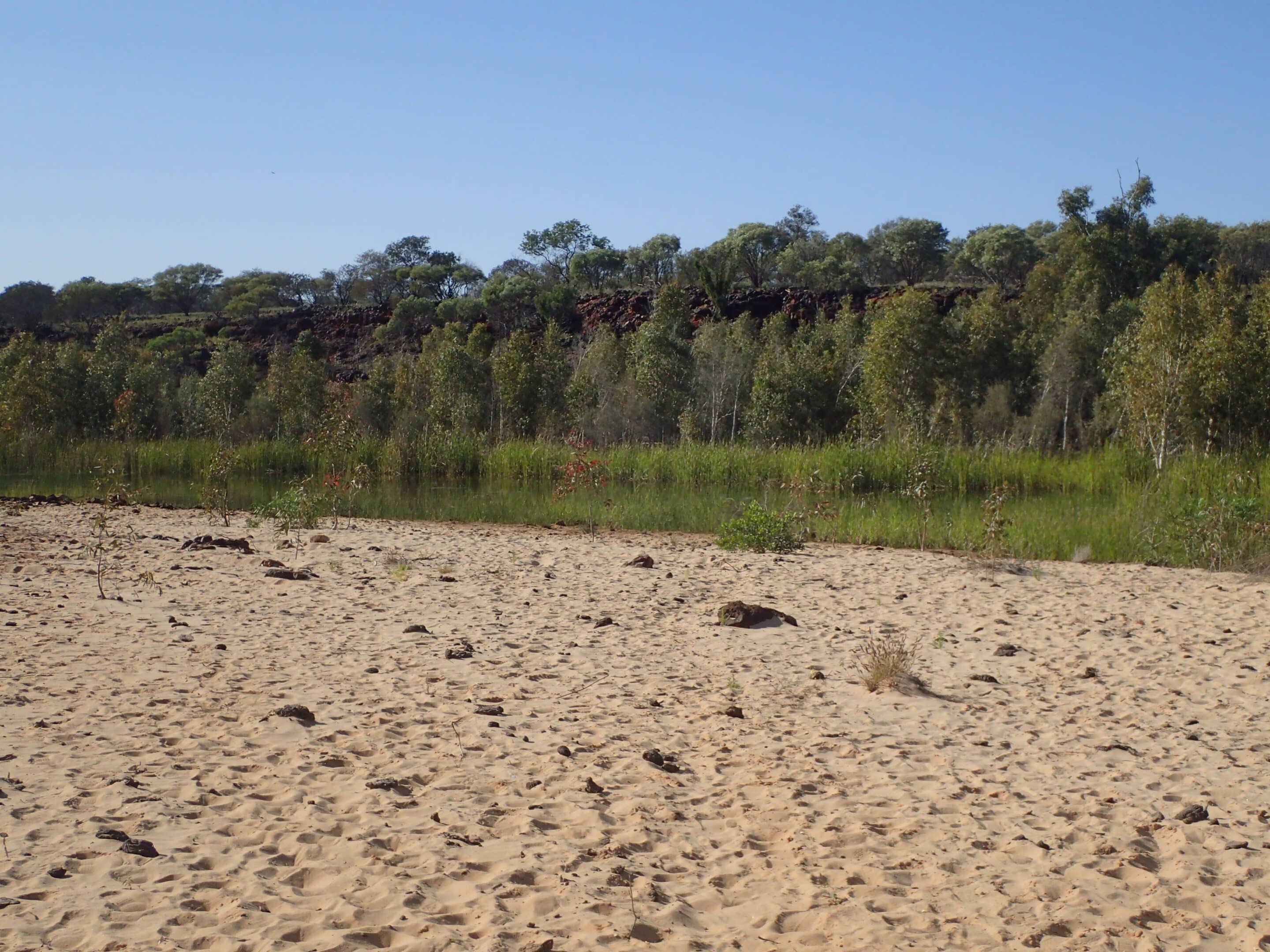
Day 4 was the final day on the loop. It wasn’t far to Mooka Creek. This is a beautiful peaceful spot. Fresh water flows from a spring through reeds along a sandy gum-lined shore. There seemed to be evidence of Aboriginal fish traps in the water. This is a special place for the Aboriginal people. To announce your visit you must throw sand into the water and announce your name and why you are there.
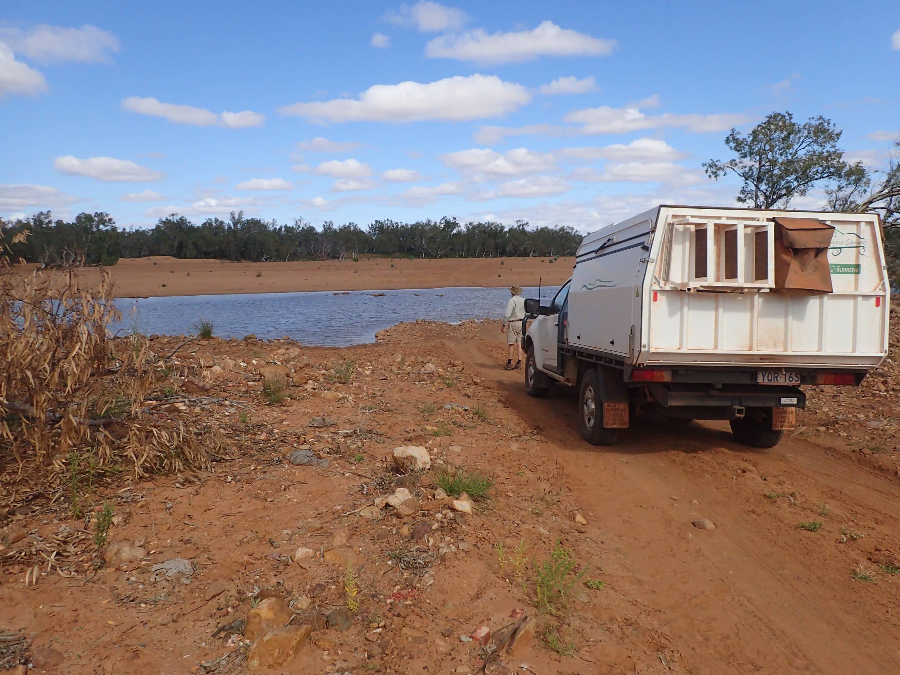
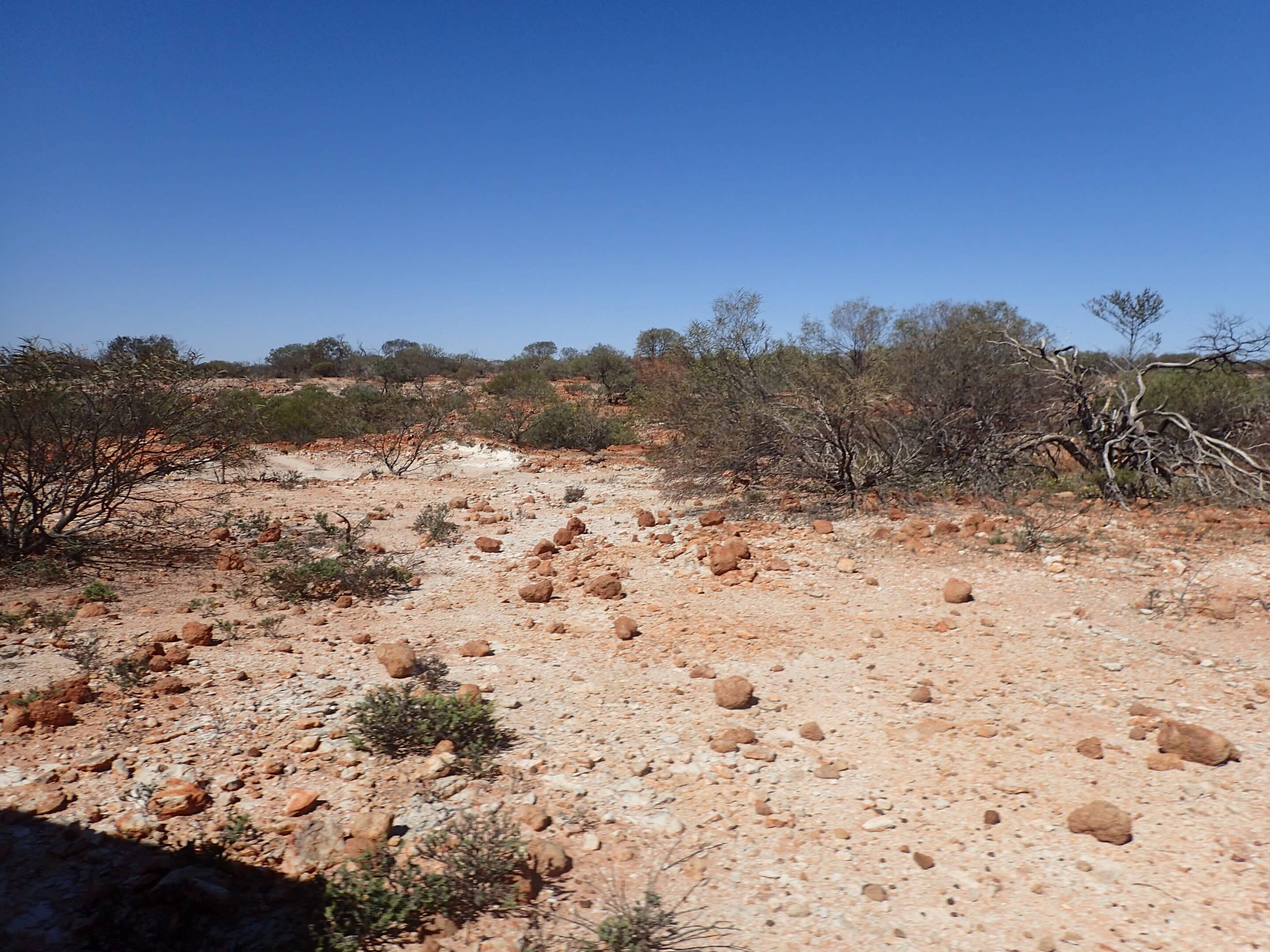
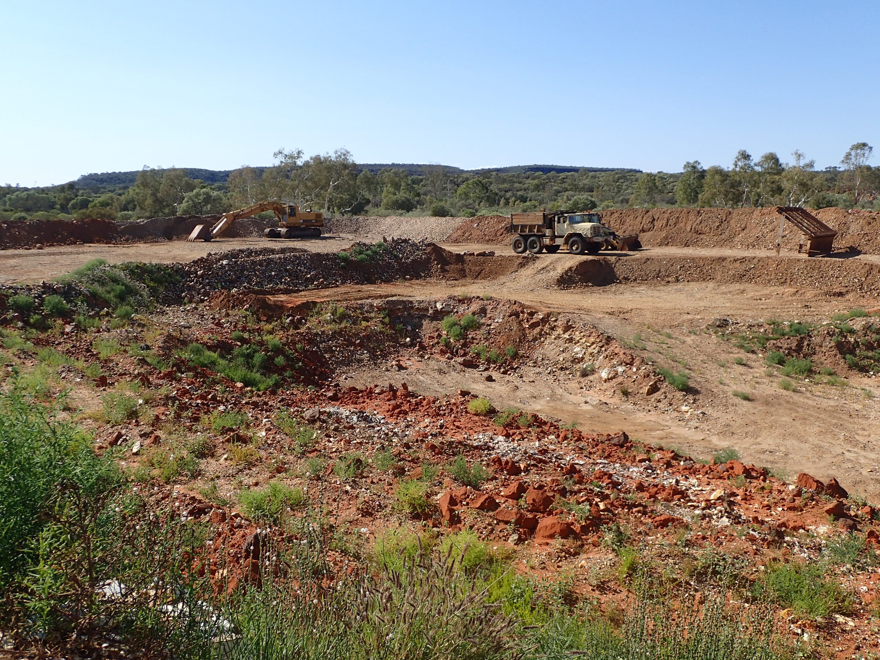
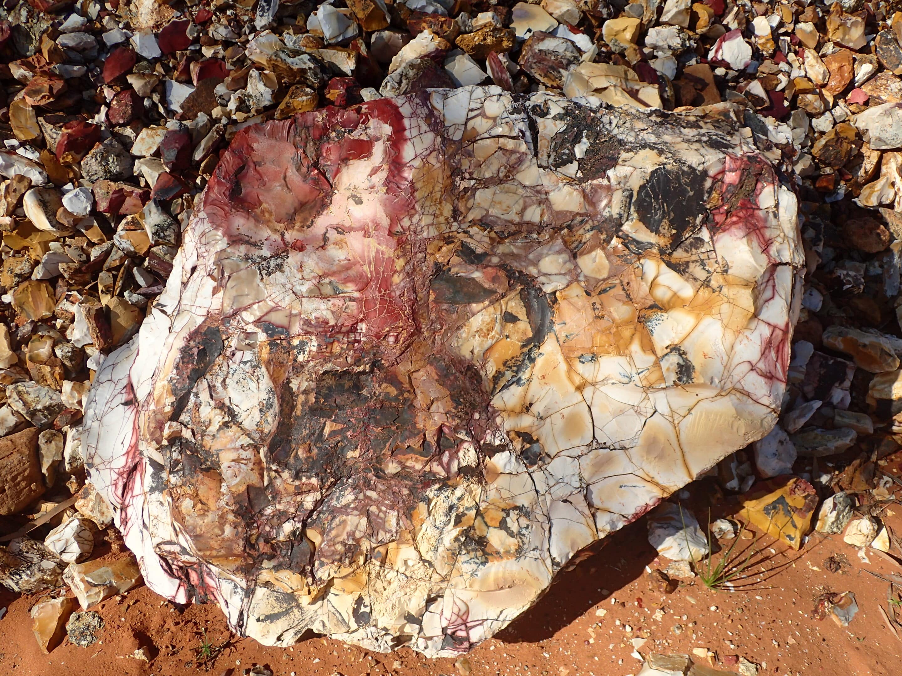
In contrast to the pristine waterhole, a little further is a mookaite crystal rock mine.
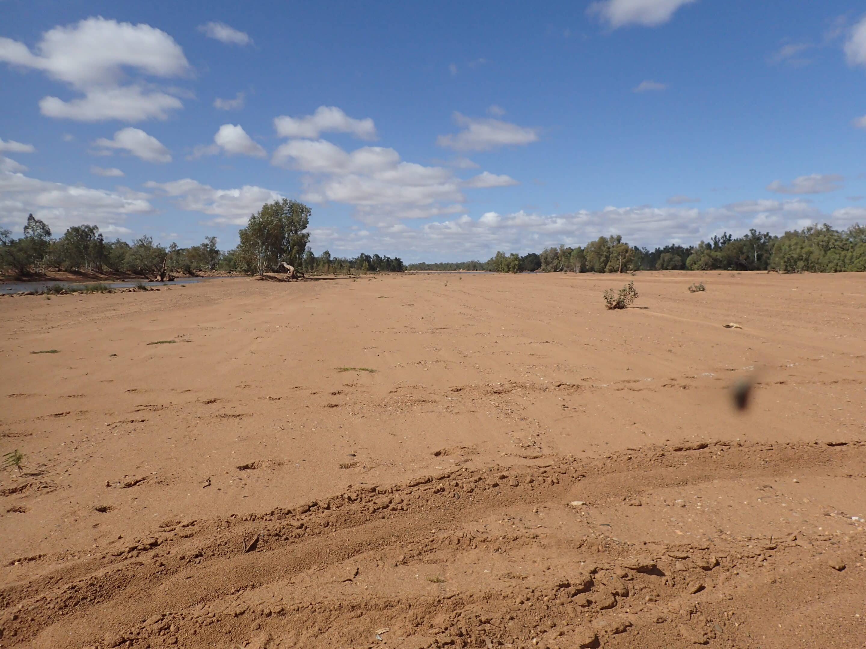
It wasn’t far before we came to the Gascoyne River crossing. The sandy flat river bed had water flowing slowly. It was evident that with a small rise in water level the river would become very wide. The crossing signified the end of our Kennedy Range Loop adventure.