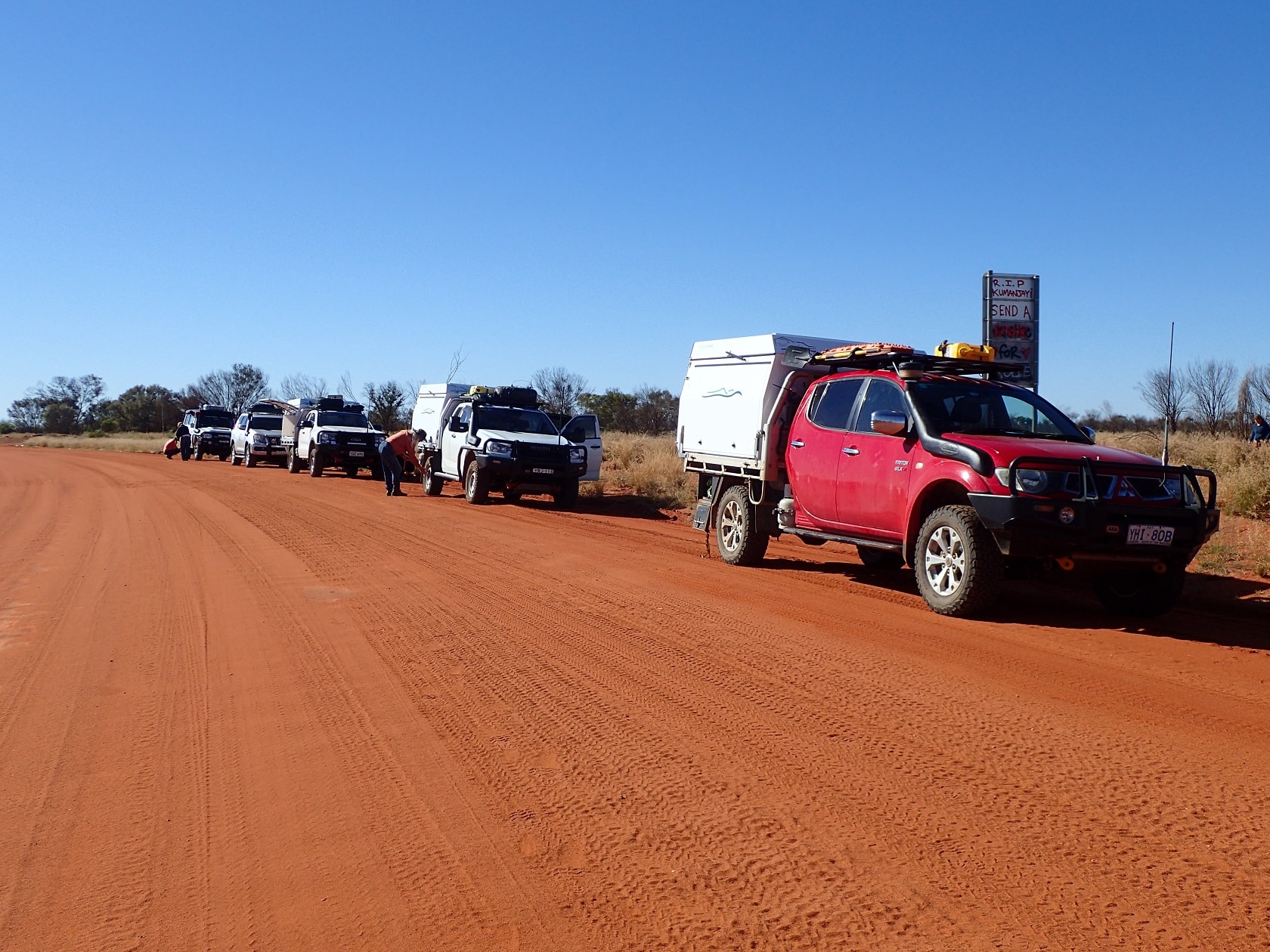
On 10 July 2024 ten travellers in six vehicles departed Alice Springs for a journey west through the Northern Territory to Western Australia along the Gary Junction Road. This unsealed road through the Great Sandy Desert was originally built by Len Beadell in the 1960s. Today the route has been realigned and now runs from the Tanami Road turnoff (137km north west of Alice Springs) to Gary Junction, just east of the Canning Stock Route (852km). From Gary Junction, the Jenkins Track runs a further 70km to Kunawarritji, near Well 33 on the Canning Stock Route. After Kunawarritji, the route continues as the Wapet Road and Telfer Mine Road through to Punmu. Travellers often refer to this group of tracks as the Garry Junction Road (1500km).
The Gary Junction Road traverses the traditional lands of several major Aboriginal groups. Alice Springs (Mparntwe) lies in Arrernte Country which includes the MacDonnell Ranges. The Great Sandy Desert forms part of the Western Desert cultural area, occupied in the east by the Pintupi and Luritja Aboriginal people and in the west by the Martu. To travel through these lands two permits are required as the road passes through Aboriginal Protected Areas.
The NT permit allows you to travel along the road but camping is prohibited, so our first day required a journey of at least 570km to reach the WA border. Fuel is available at communities along the road, but you do need to check their opening hours. Alcohol can be carried but not drunk or distributed.
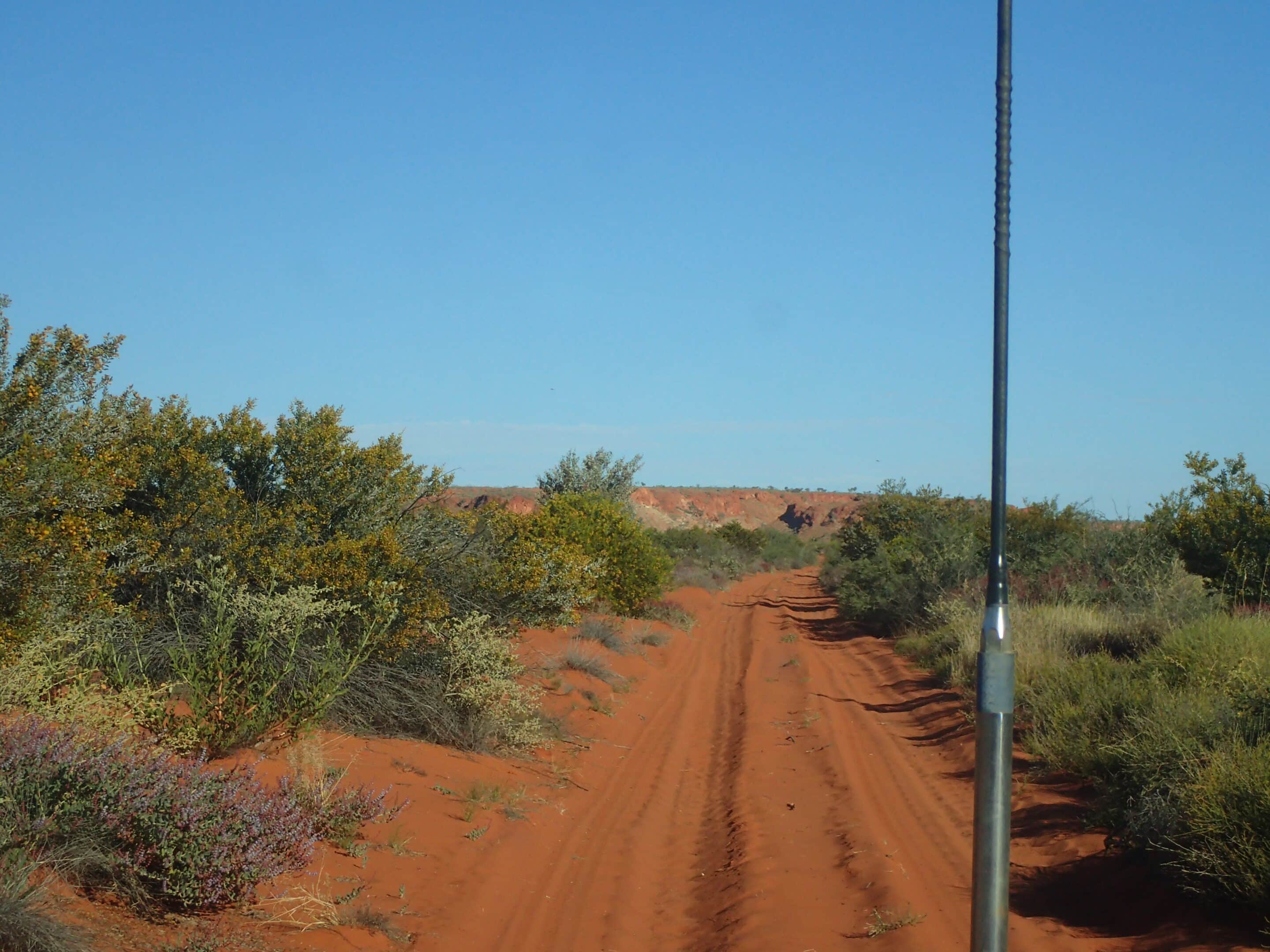
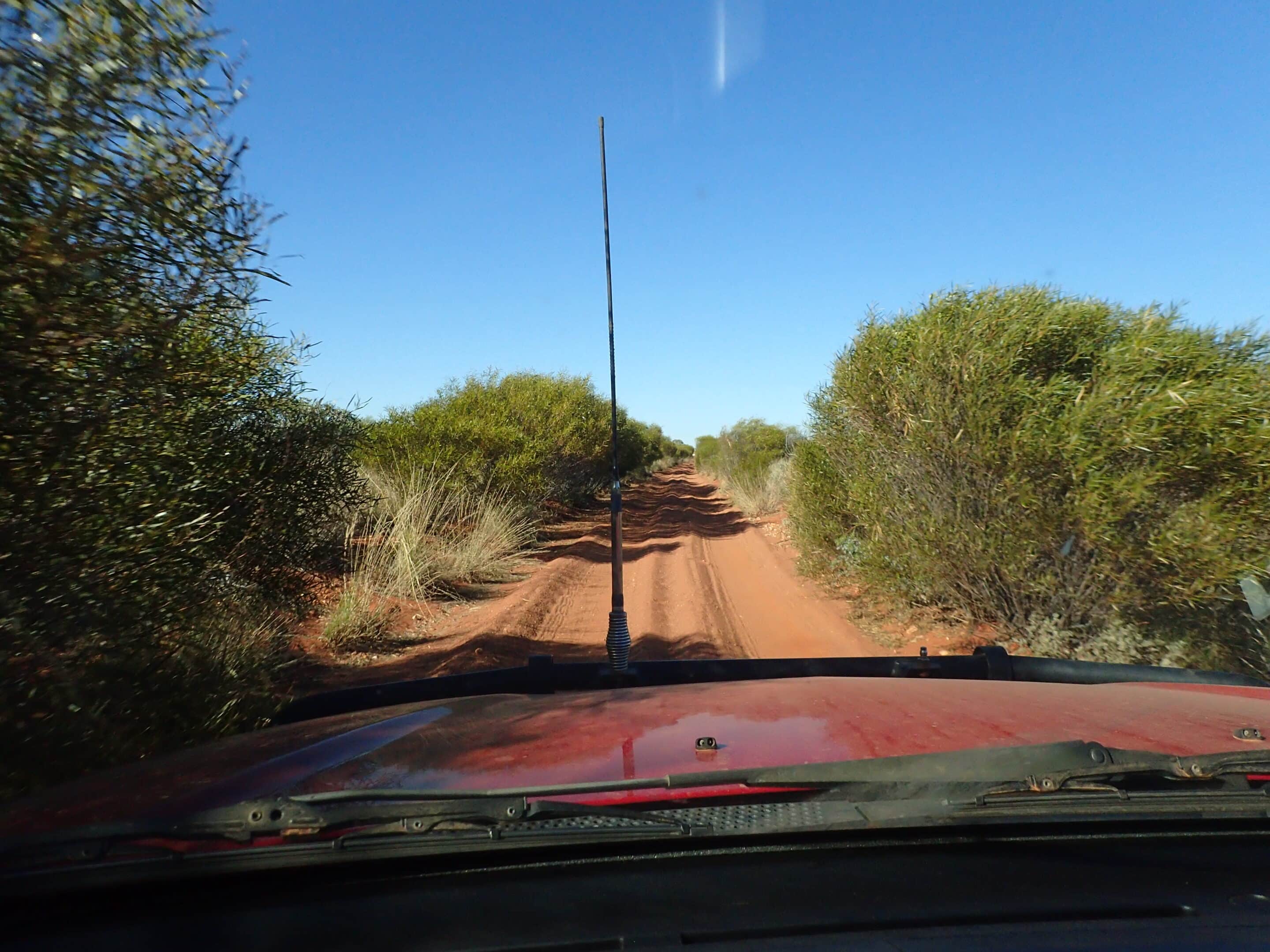
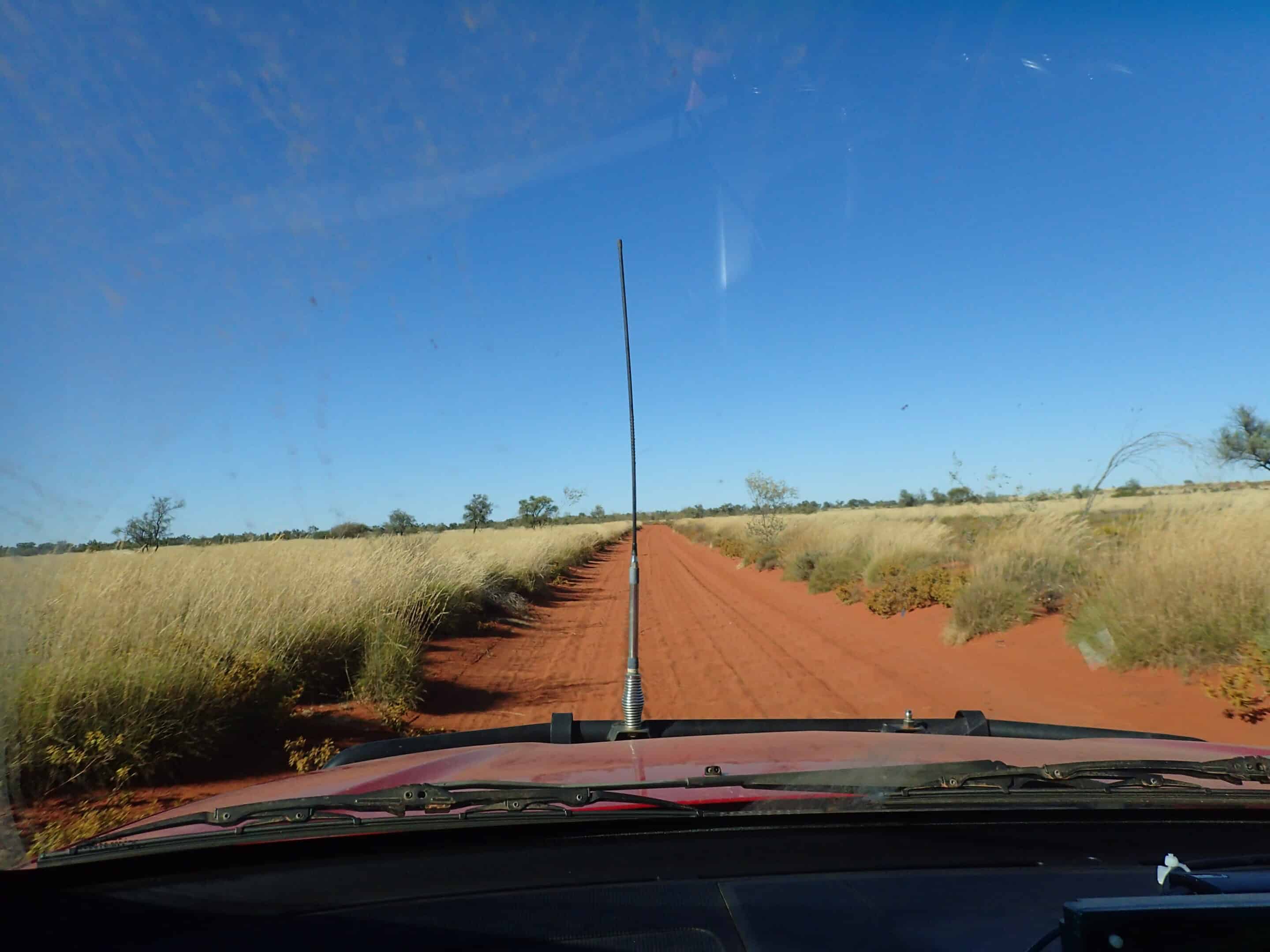
Initially the road was in very good condition having been recently graded and was wide enough for vehicles to pass. We did encounter some on-coming traffic including vehicles towing caravans.
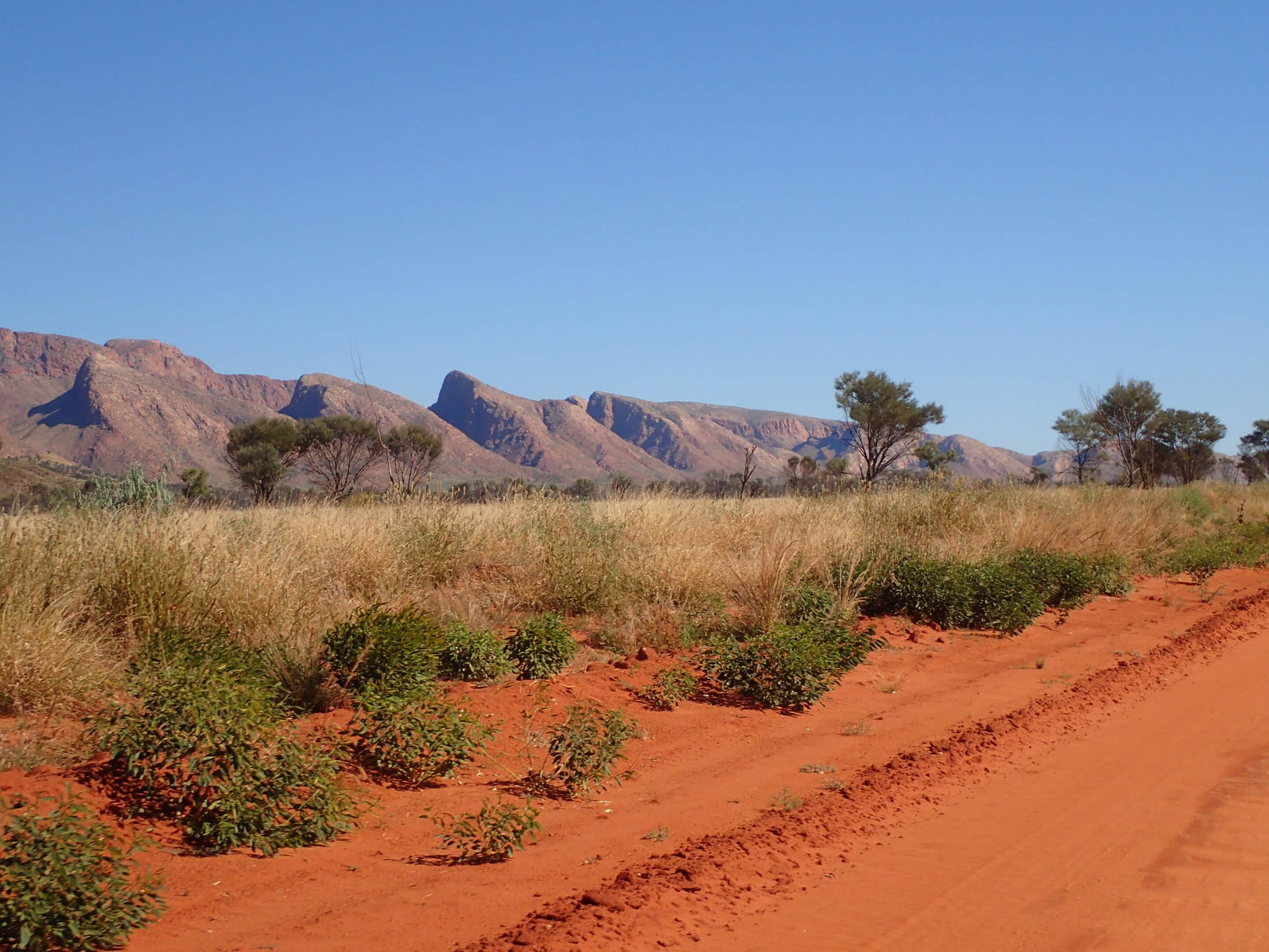
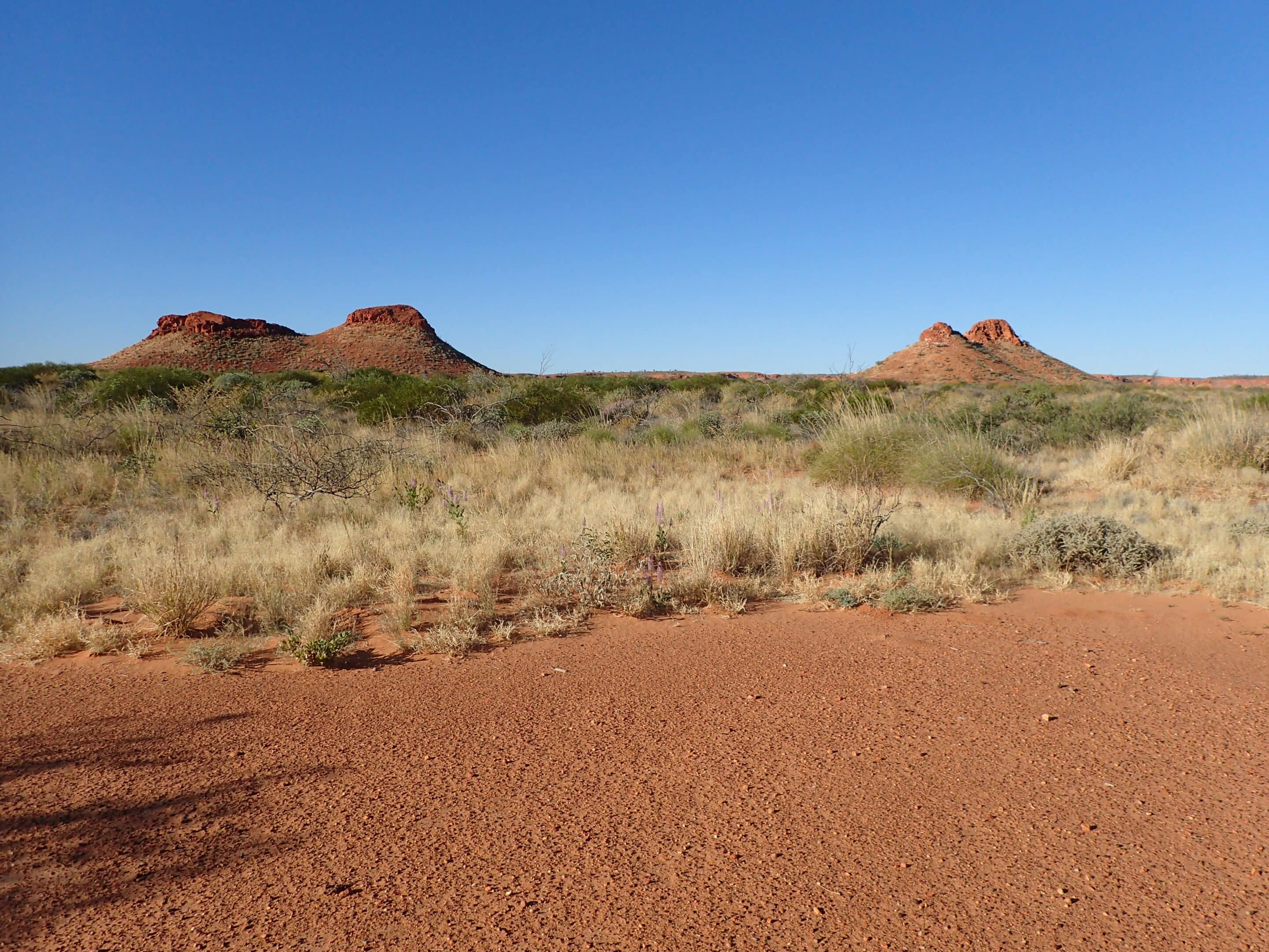
Travelling parallel to the West Macdonnell Range provided impressive views and colourful vegetation consisting of spinifex, desert oaks, cypress pines and bloodwoods, grevilleas and low shrubs throughout the landscape. Lunch at the K water tank gave us an opportunity to enjoy some enchanting artwork. We by-passed the Kintore community as we were too late to refuel but did take advantage of the views of Mount Liebig.
We were all grateful to reach the WA border and just a few kilometres further we camped at Buck Hills. The entry to Buck Hills is a little hidden, but between us all we found the track access. Camp was set up at the rear of the hills providing us with the most amazing views. The night was still and the red rock hills and blonde grass plains were made even more special in the setting sunlight. Wedge-tailed eagles soared above us.
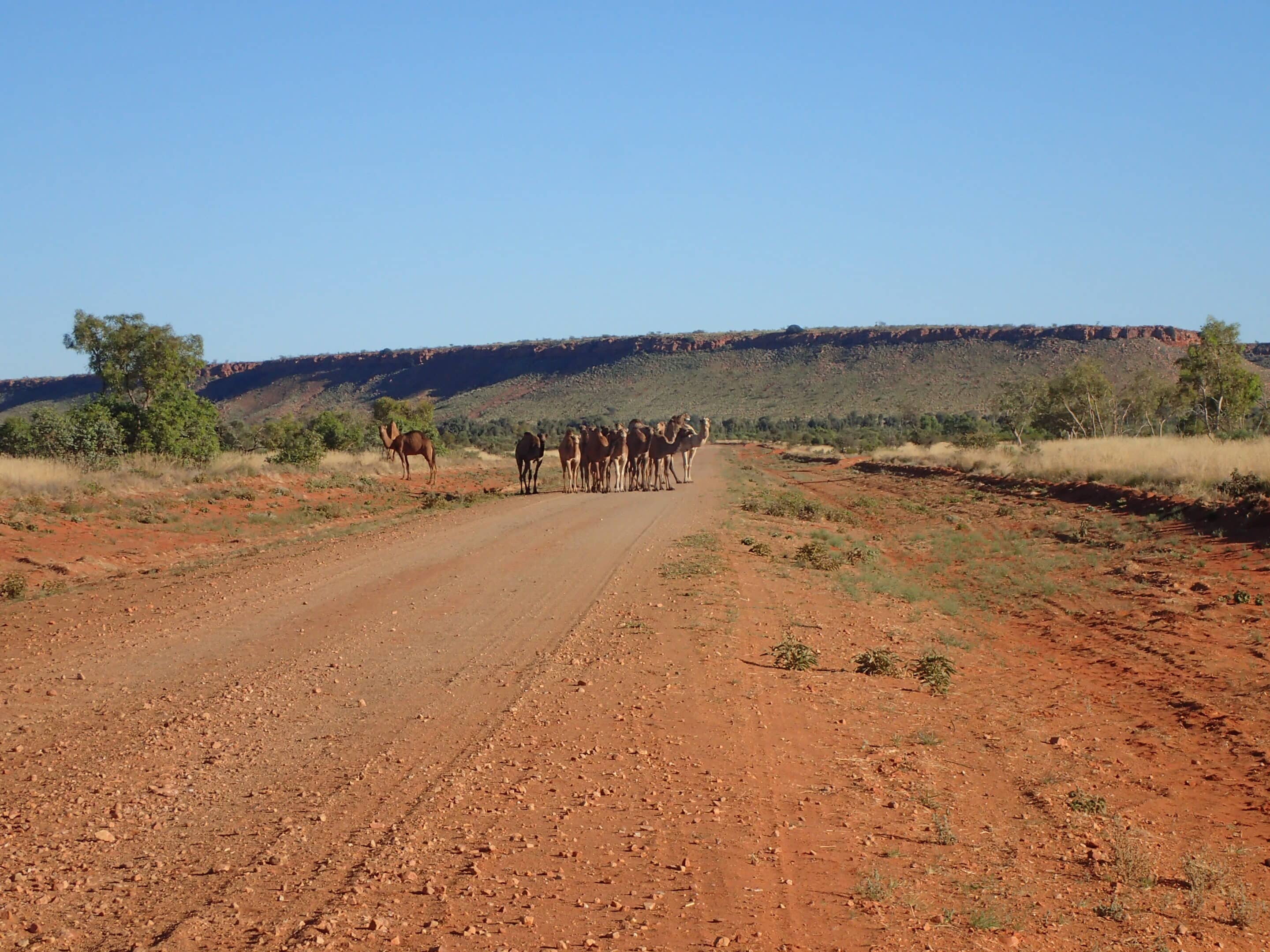
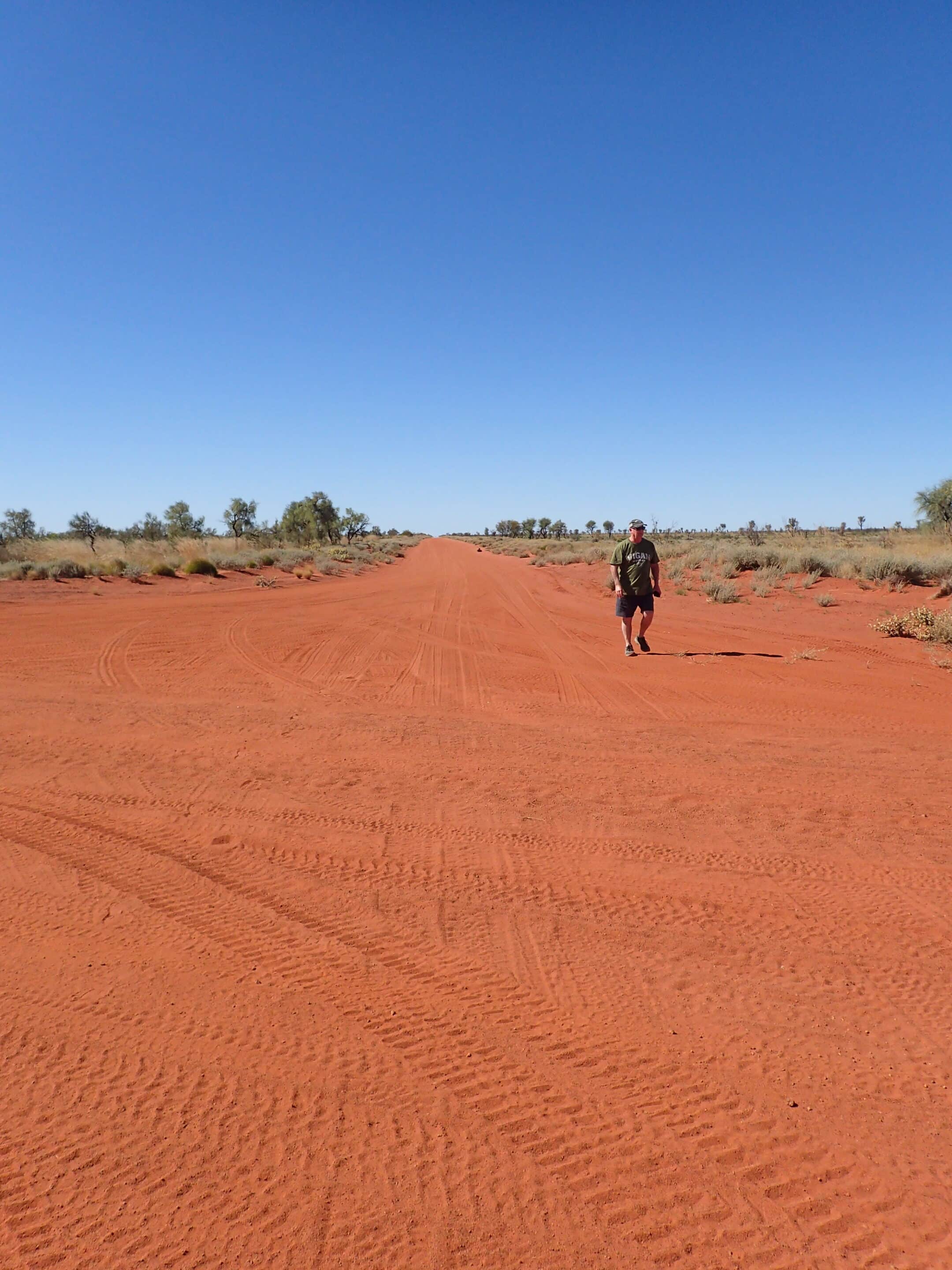
To this point the road had been surprisingly good and we had travelled at 80km/h but conditions deteriorated the further we ventured into WA. The road became more corrugated and rough and not much fun, but a caravan of camels blocking the road enthralled us. The male had quite a harem and there were also a number of young camels. Eventually they became bored with us and moved off the road and we continued west.
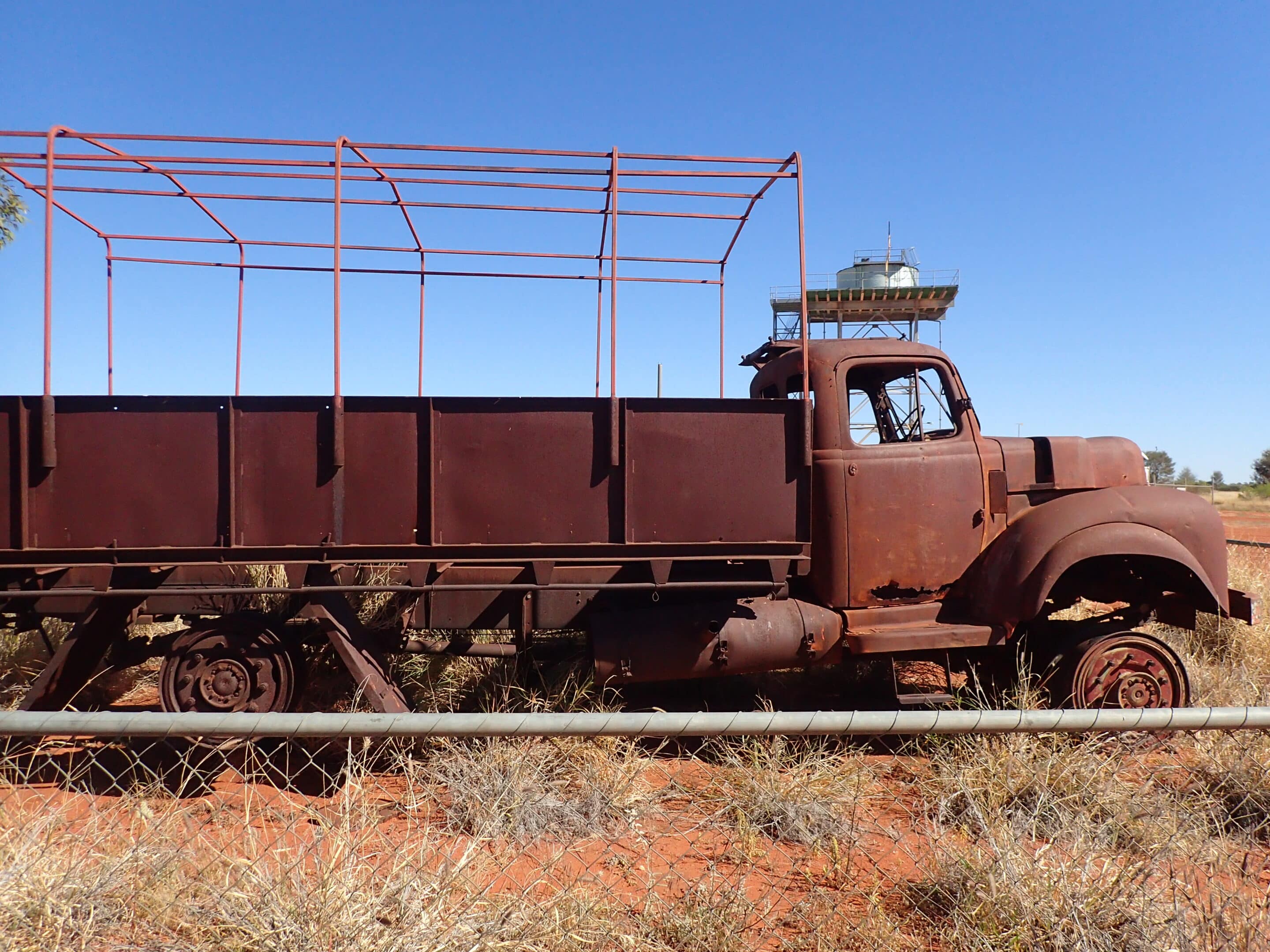
Our camp departure was timed to ensure arrival at Kiwirrkurra for refuelliing during the shop opening hours, but this was not necessary as there is now 24/7 pre-authorisation, self-serve fuel available. Kiwirrkura fuel was $2.70/l and the roadhouse was well-stocked, although it was sugar-free Thursday so the icecream we were looking forward to had to be delayed. The toilet facilities were out of order – a plumber call out starts at $10,000. Viewed Len Beadell’s supply truck, which caught fire as he and his workers were building the road.
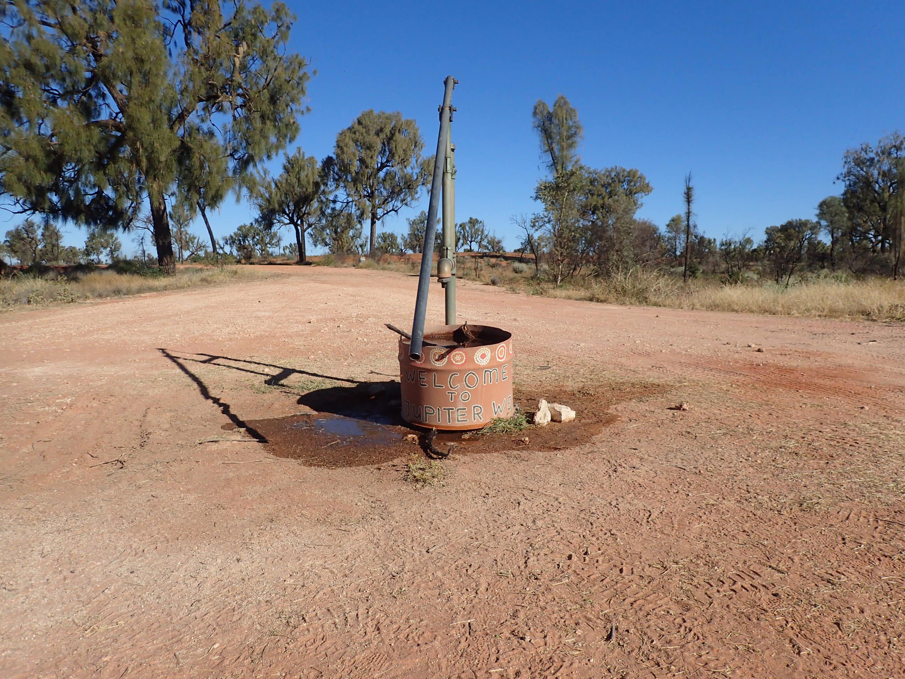
The road improved to Jupiter Well, our next campsite. The campsites are shaded by desert oaks and there are drop toilets. There is a well with hand pump which provides fresh water, with small brown finches taking advantage of any uncaptured water. The original Jupiter Well was dug in 1961 by the national mapping team and we set out by foot to discover the old well although there isn’t much to see there now.
Our campfire didn’t deter the dingoes. Somewhere out there is a dingo with a single dark blue croc.
Our next significant stop the following day was at the intersection with the Canning Stock route. Travellers on the southern Canning reported that it was extremely rough and they were averaging 25km/h. The route north was currently closed due to flooding. A stop at Kunawarritj for an icecream was enjoyed by all. Fuel, showers, and accommodation is available here. We happened to meet the daughter of Googs (it’s a small world).
Along the road we saw signs pointing to emergency water sources. These old bores, wells or water tanks are critical for local people and travellers.
The road deteriorated from Kunawarritj, driving between high sandhills and into the setting sun, so we were grateful to reach our next campsite at Dunn Soak. There is a hot shower, flushing toilet, access to a camp kitchen, and workers’ accommodation. Mother nature provided wild flowers and howling dingoes.
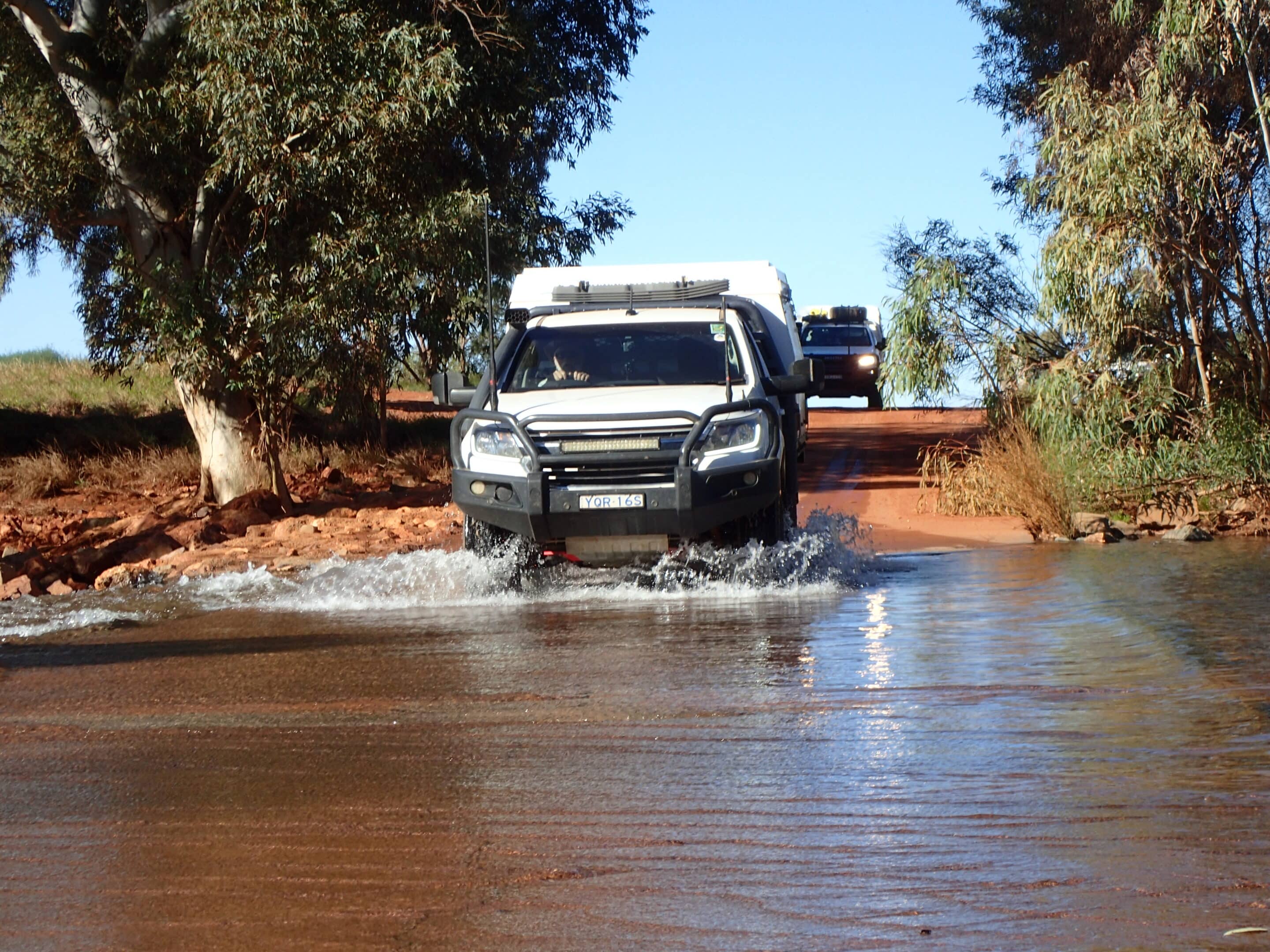
We refuelled at Punmu $3.20/l. Lake Dora glistened next to the town. Unexpectedly we passed a soak full with water.
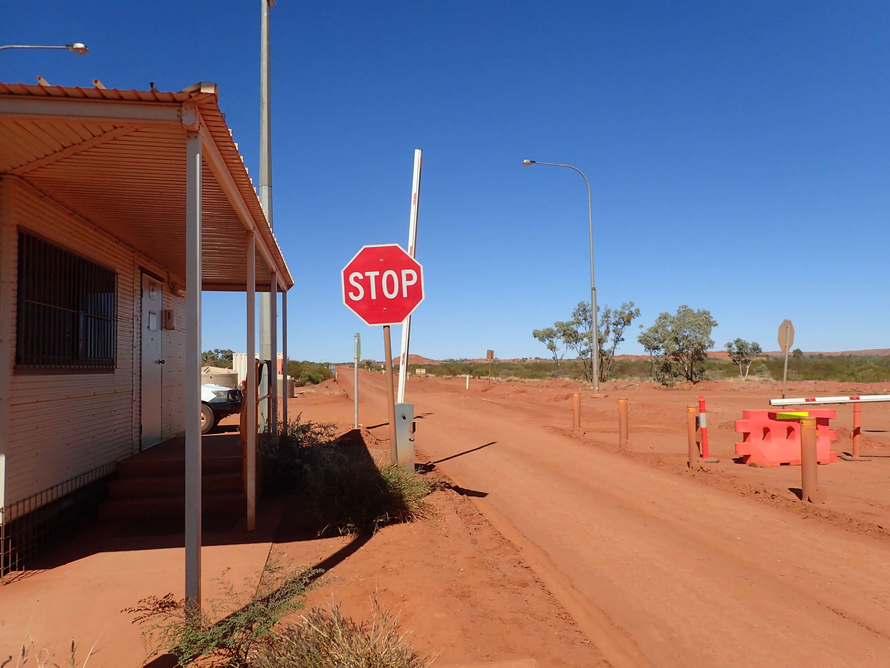
We left the corrugations when we turned south to Telfer gold and copper mine. A road block, with a stop sign and boom gate, halted our journey. Travellers are required to sign in and be escorted through the next 4km. A shower, tea and coffee were offered. Telfer mine was quiet and apparently there is a crack in their tailings dam. The mine is for sale if you’re looking for an investment.
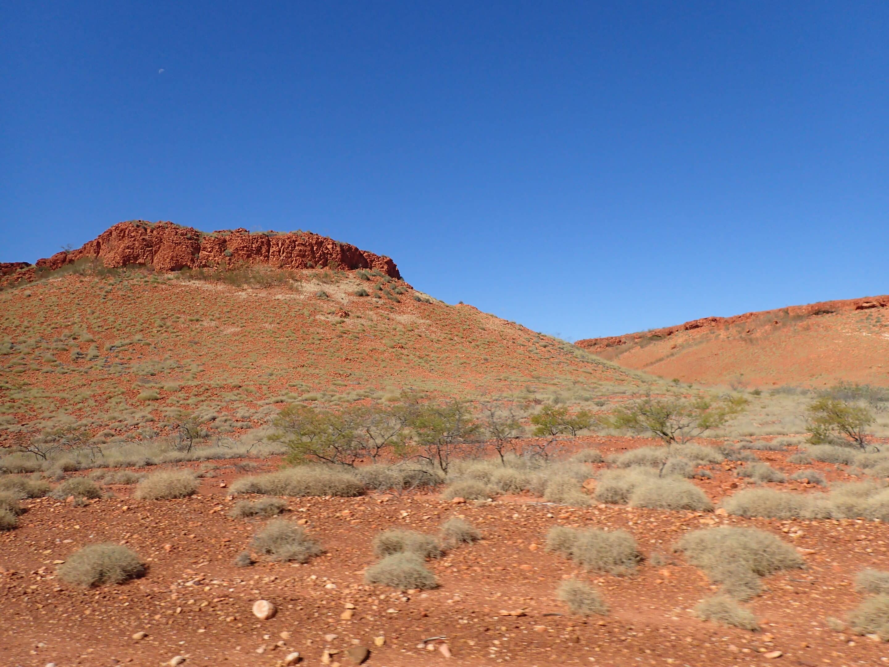
Karlamilyi National Park is the the largest national park in WA covering over 1.2 million hectares. The road into Karlamilyi (Rudall River) NP challenges your every 4WDing skill with deep sand, rocks, corrugations, steep descents and ascents at creek crossings, and driving through a dry deep creek bed. Many kilometres later we turned into the national park and onto the Desert Queen Baths track. It was slow progress, but lots of fun, navigating the winding track through rocky outcrops, ranges and past Comptons Pinnacle, an isolated hill with steep sides and small summit. After a firewood collection stop we were disappointed to find the campsite very full. A tag-a-long group had taken over most of the area, spreading out as much as possible and blocking track access. We camped further back away from the waterhole.
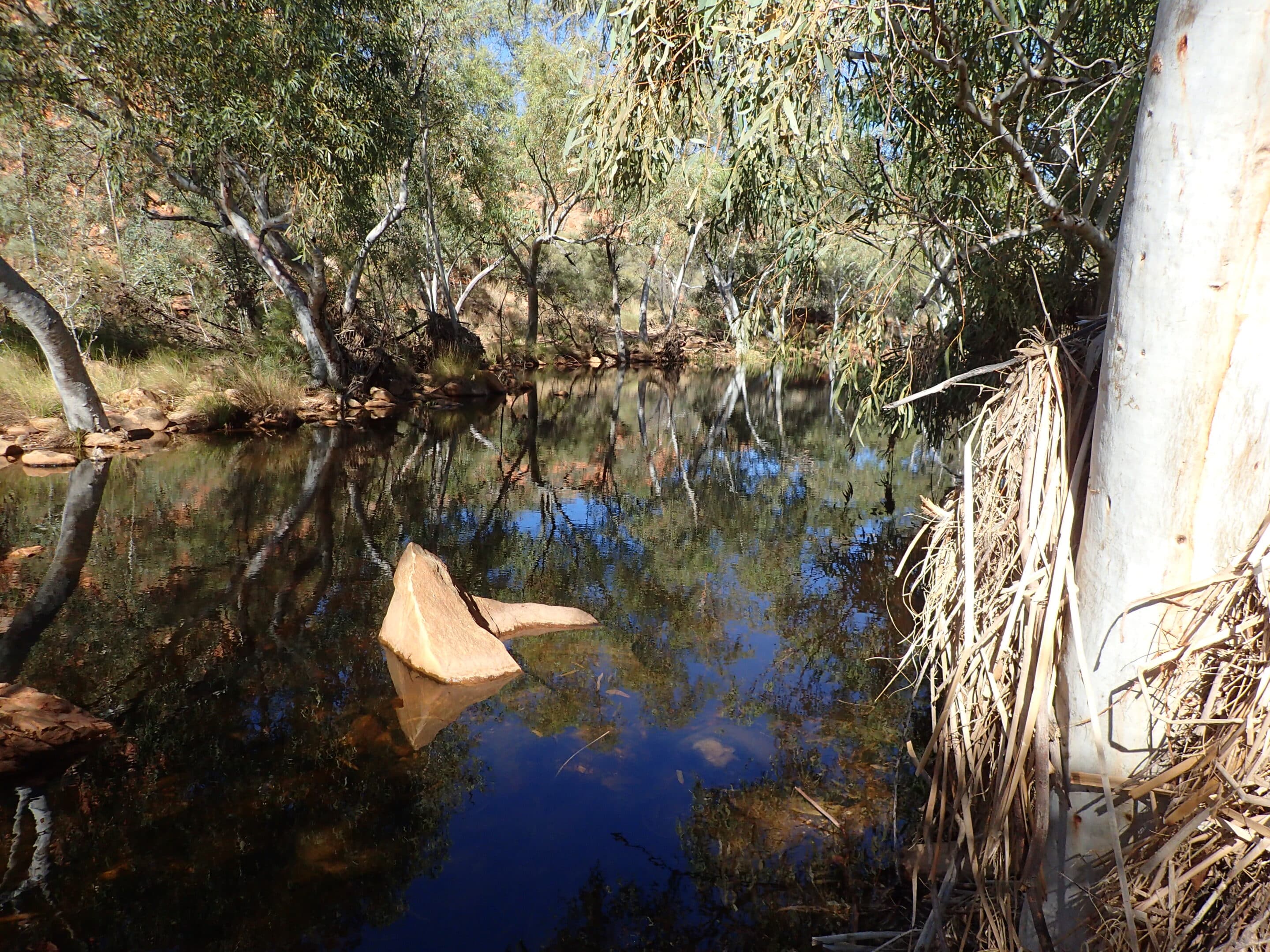
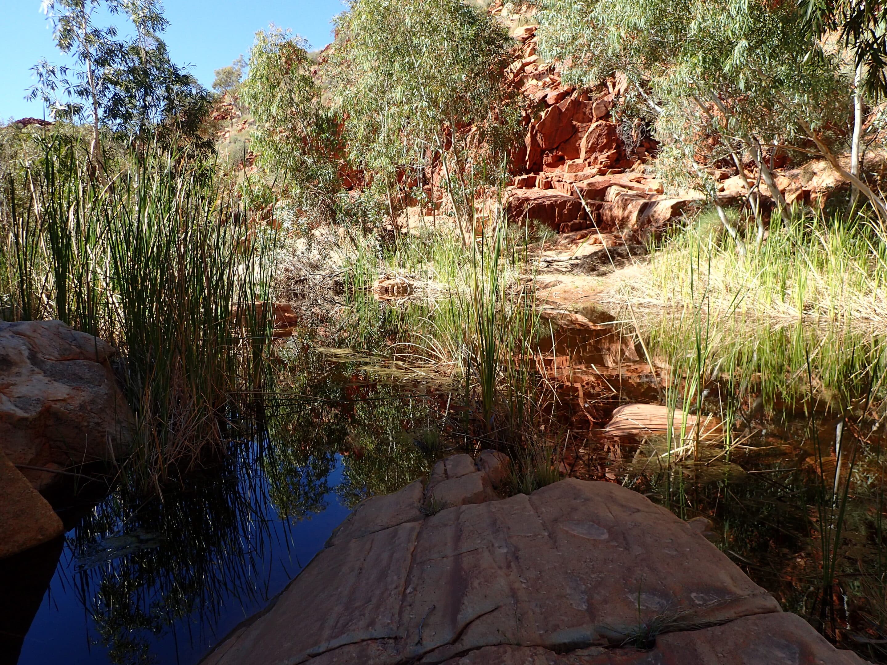
A walk up the gorge between a sheer cliff and tall gums to the three goannas Aboriginal artwork was easy going. Our pace slowed as we rock-hopped further along and across the watercourse searching for the best path to take through a series of pools to Desert Queen Baths. Desert Queen Baths were not warm, but Margaret swam further along the gorge. We returned to camp along the same route inspecting the local flora and fauna, including crimson finches, budgerigars, magpie larks and a king brown snake (or was it a python?).
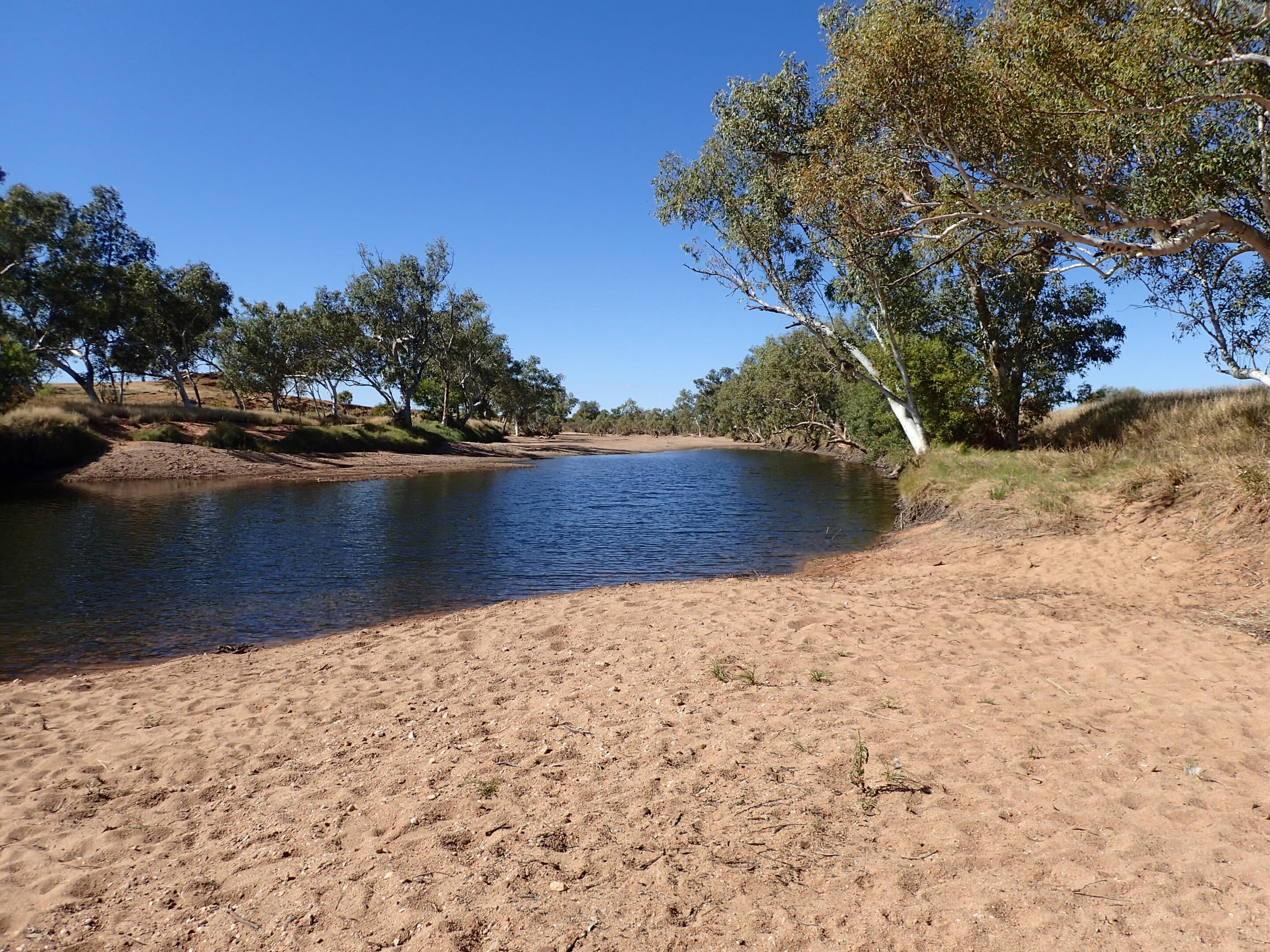
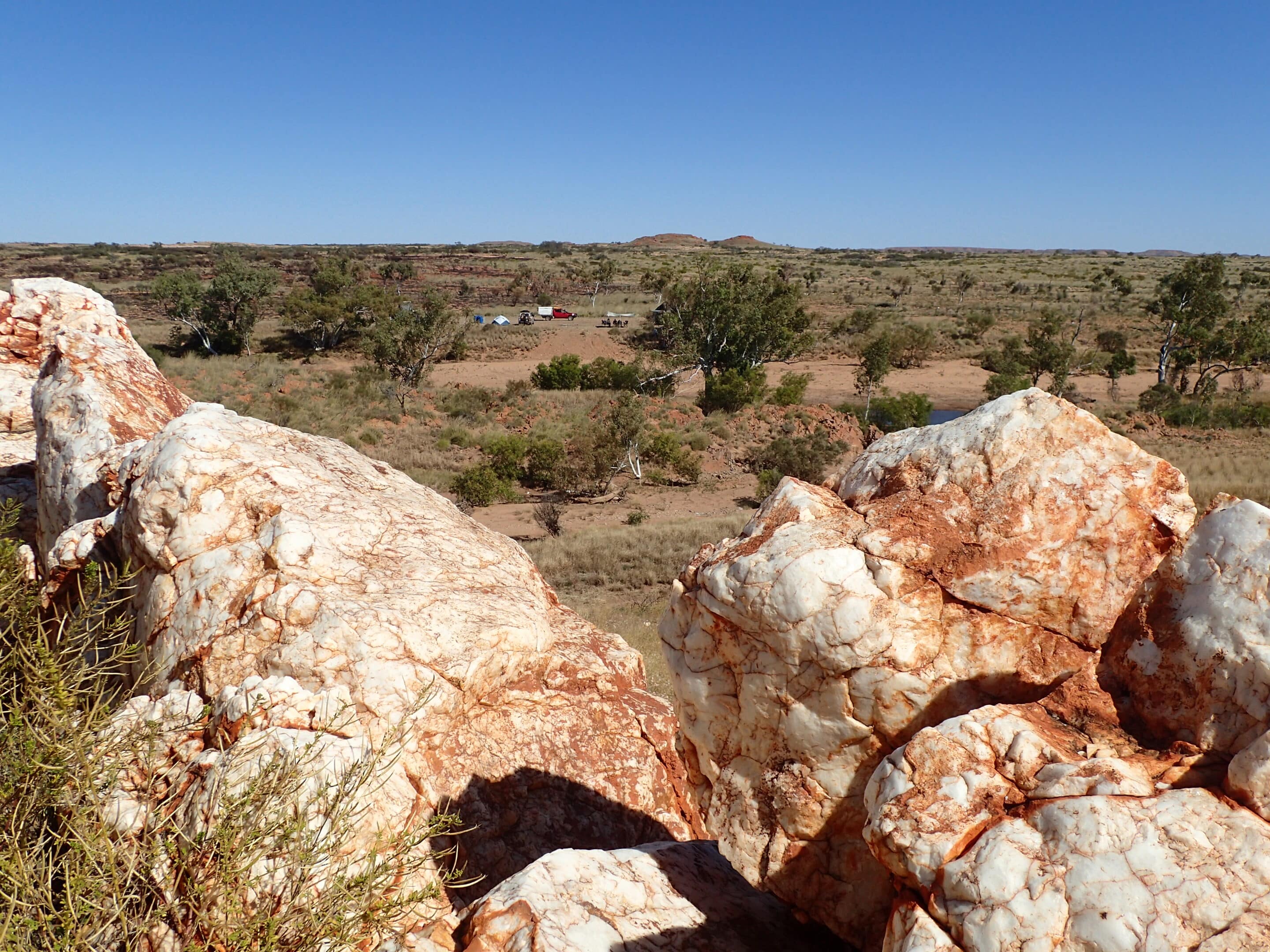
The following day we departed early as fellow campers had reported a very slow journey south. This was not our experience and we arrived at Kalkan Kalkan Seep for morning tea. We spent the day exploring the waterhole and surrounding rocks. The day was very warm and very windy so a swim in the waterhole was welcome. The afternoon allowed us to undertake some car maintenance and learn how to weave baskets, all under the watchful eye of a circling kite.
Our final day in the national park and we continued south along a rugged track, but the dirt roads outside the park had been graded and felt like driving on a four-lane highway. After crossing the Fortescue River we hit the tar for an easy 50km drive into Newman.
The Gary Junction Road and Karlamilyi (Rudall River) NP are a must do remote outback experience. The landscape, wildlife, plant life, waterholes and billabongs are worth the challenging drive through the Great Sandy Desert and Little Sandy Desert.