Trip dates: 1 Jul to 14 Aug 2025
Travellers:
Bob Anderson, Andrew and Linden Chalmers, Tom and Ann de Jongh, Chris Hopkin, Dolph and Leanne Page, Belinda Robinson and Brian Summers, John Worthington
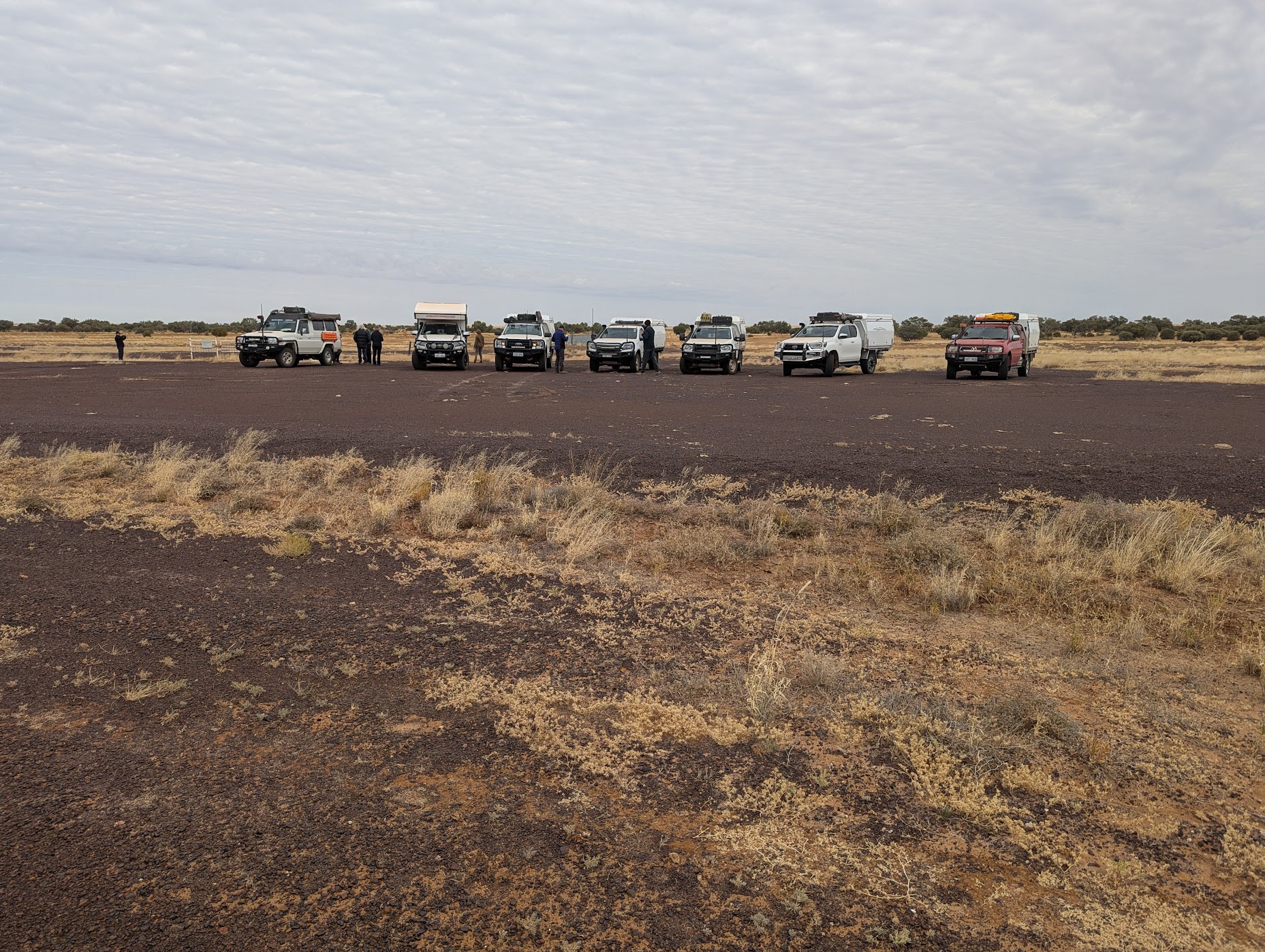
Detailed planning for this 2025 winter trip into the south-west channel country of Queensland and the Simpson Desert began in January 2025. By the beginning of March, interested participants had met, the itinerary finalised and camp bookings made. Then it rained in Queensland. These high autumn rains, on top of the effects of ex-tropical cyclone Diane, caused flooding in the rivers which drain through the channel country into Lake Eyre. The inland regions of Queensland saw high rainfall, leading to major flooding. Evacuations of outback towns, such as Thargomindah and Adavale, happened as the river levels hit record highs breaking levee banks, destroying infrastructure and killing stock. The itinerary was in tatters, and depended on water receding, roads opening and townships recovering.
By our departure date, on 1 July, there were still road and national park closures. We’d just have to be flexible. Luckily roads and campsites reopened but our plans to explore the Cordillo Downs track, Coongie Lakes, Innamincka, Tibooburra and Sturt National Park would have to wait for another trip.
Highlights of the journey
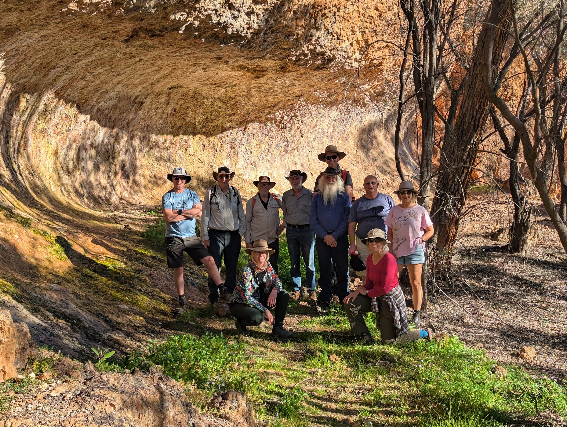
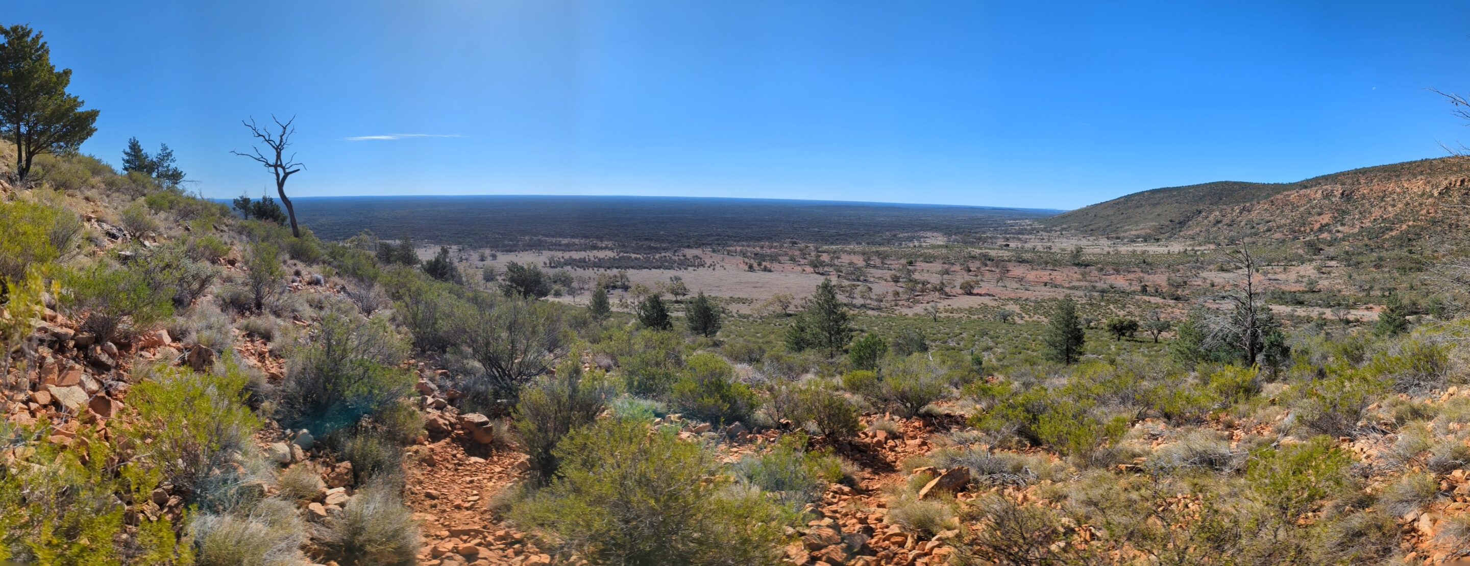
Gundabooka National Park
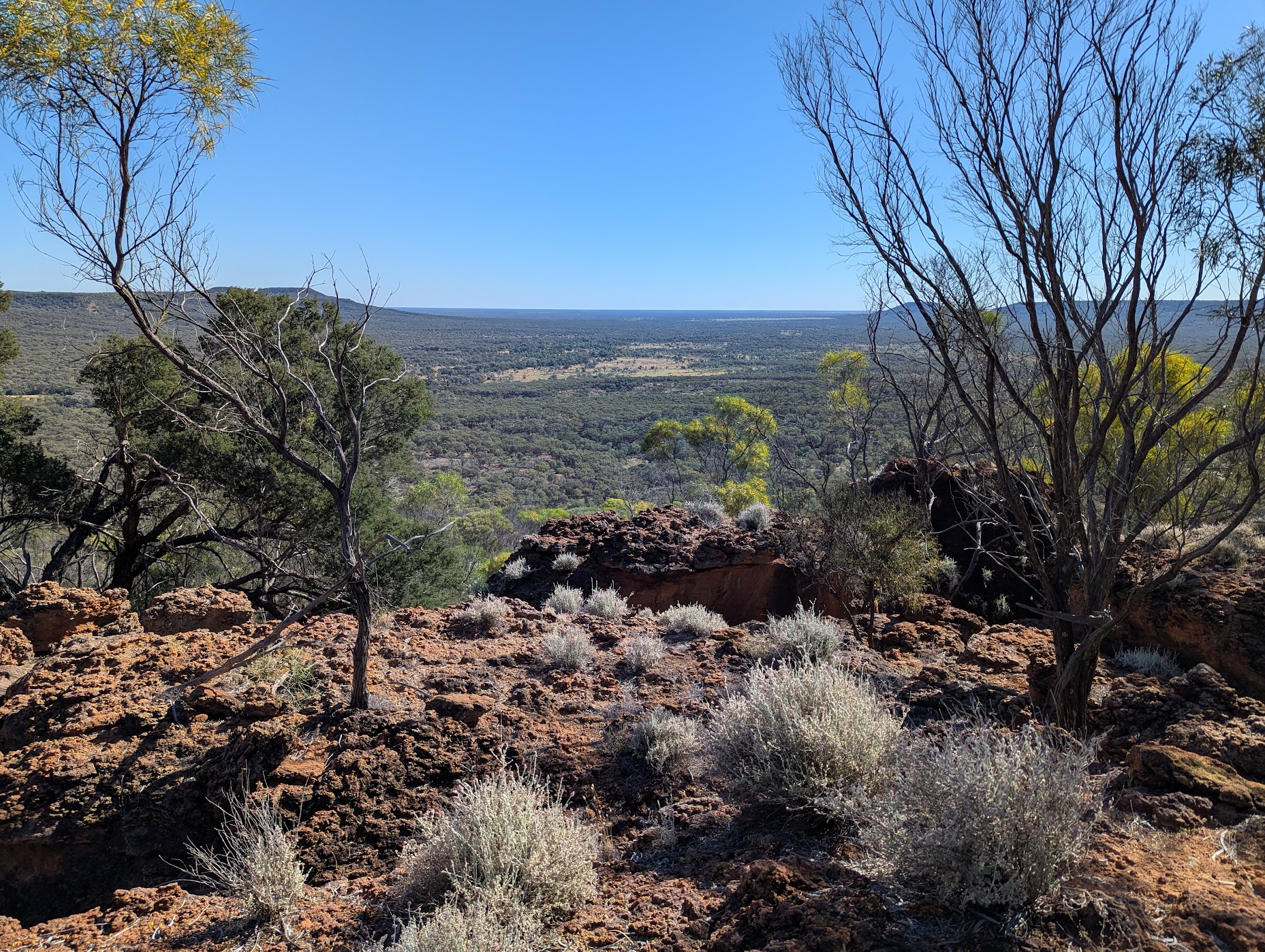
Valley of the Eagles walk. The initial stages of the walk to Mt Gundabooka base are easy but it becomes steep as you climb to the summit 500m above the rest of the park. The climb rewards you with spectacular views of the surrounding park. From the summit we watched eagles soaring. Disappointingly we saw goats in the park.
Currawinya National Park
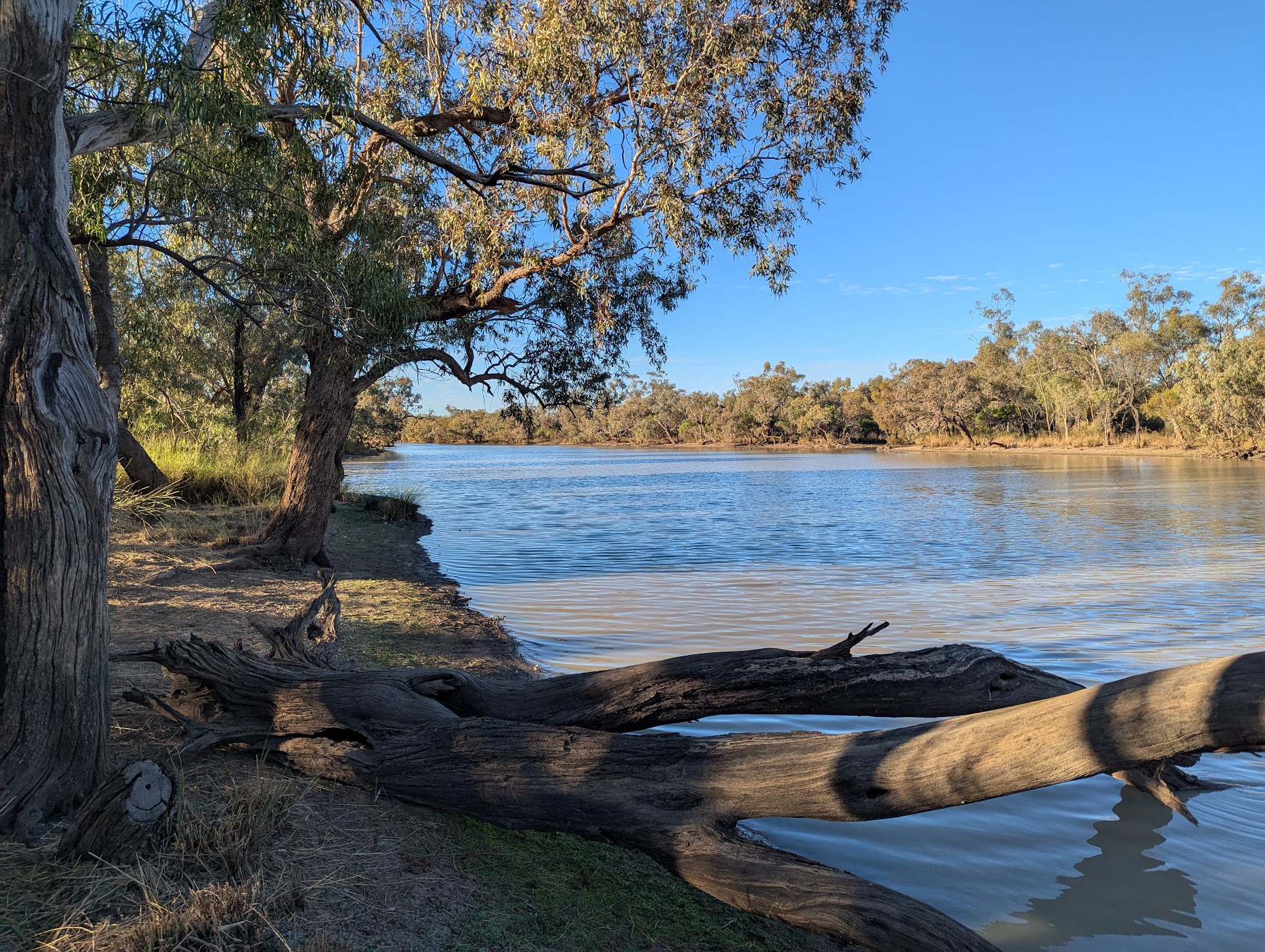
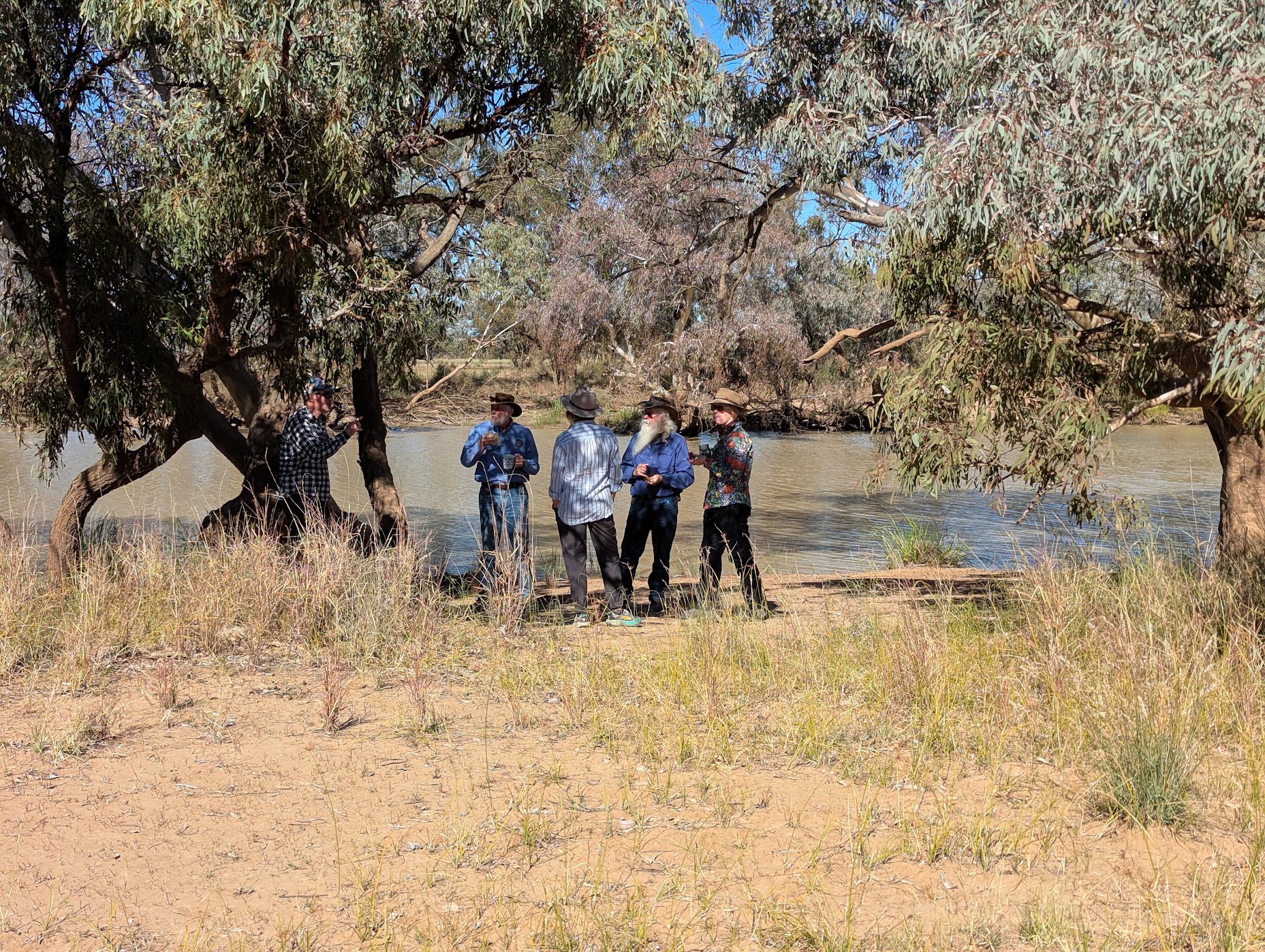
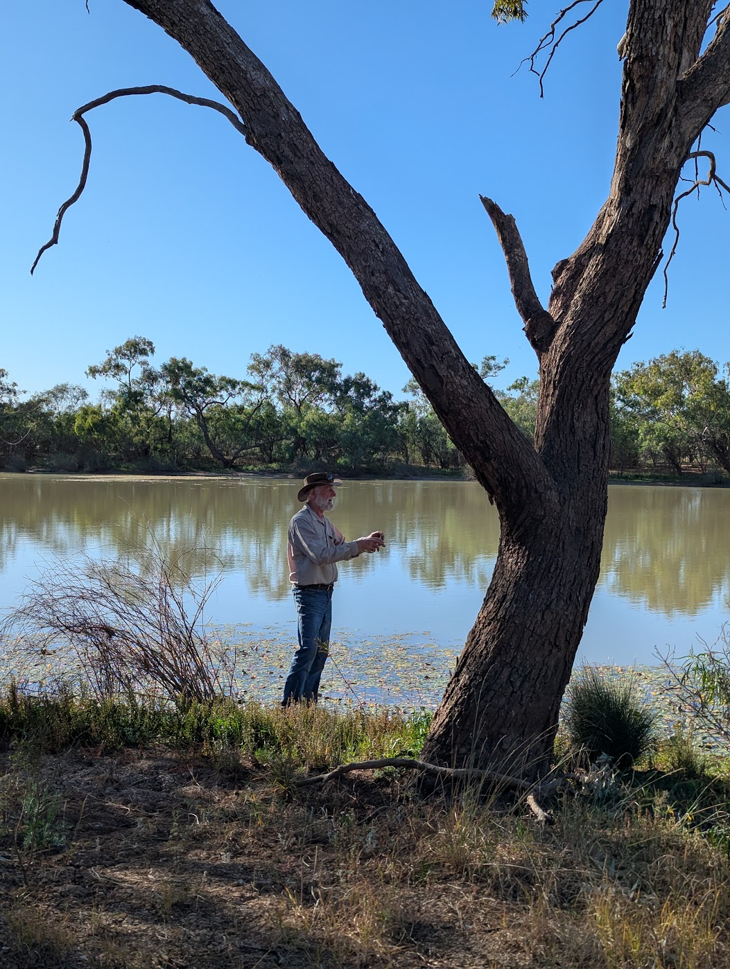
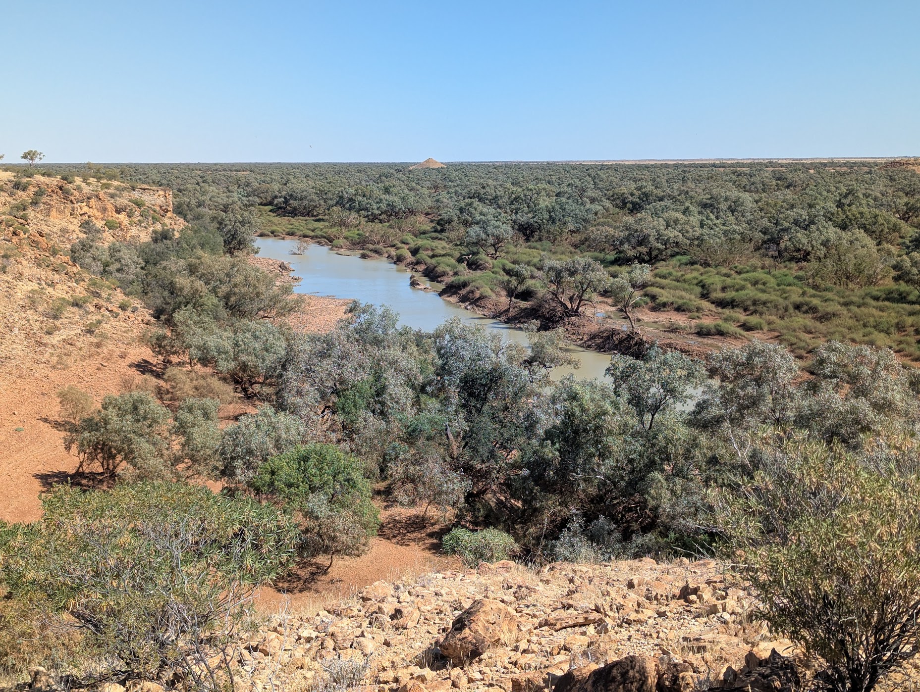
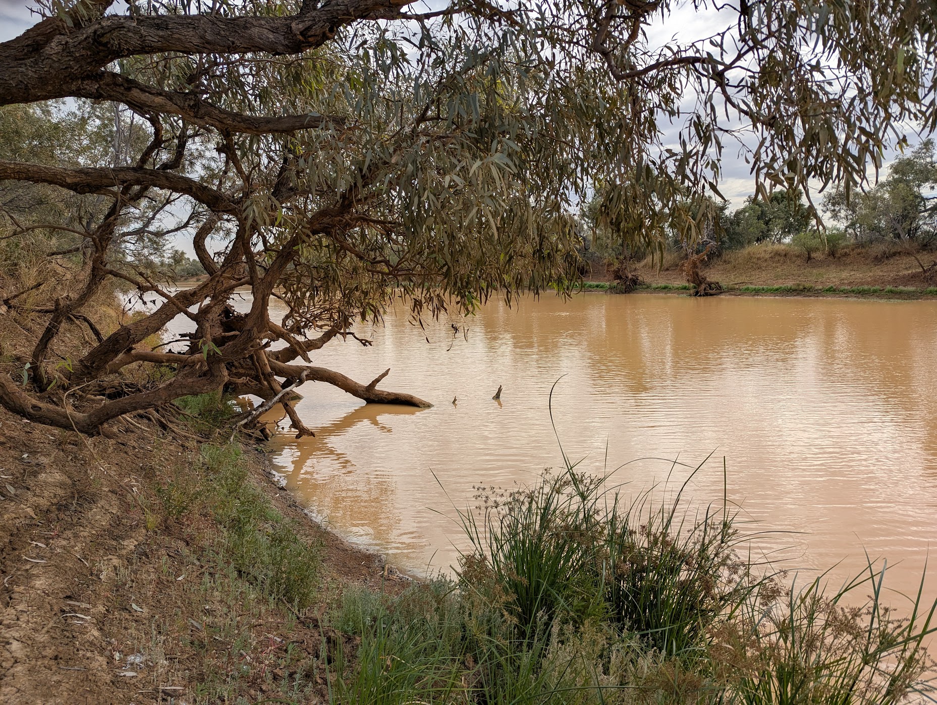
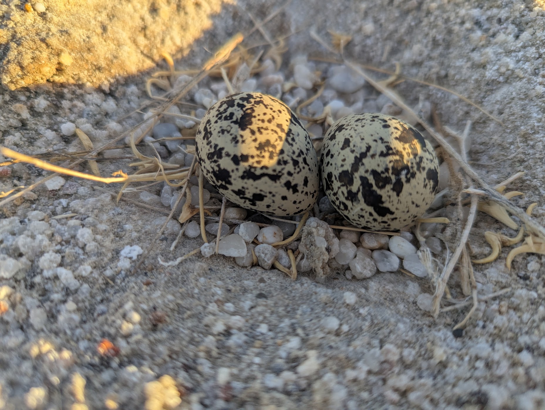
It was good news as the Hungerford Road had reopened to the Queensland border and into the park. There was some water lying on the gravel road edges but the road itself was dusty and relatively smooth. The milky coloured rivers and creeks were still high, including the Ourimperee waterhole where we camped among the coolabahs and river red gums, along with egrets and pelicans. White flowers bloomed in the surrounding area.
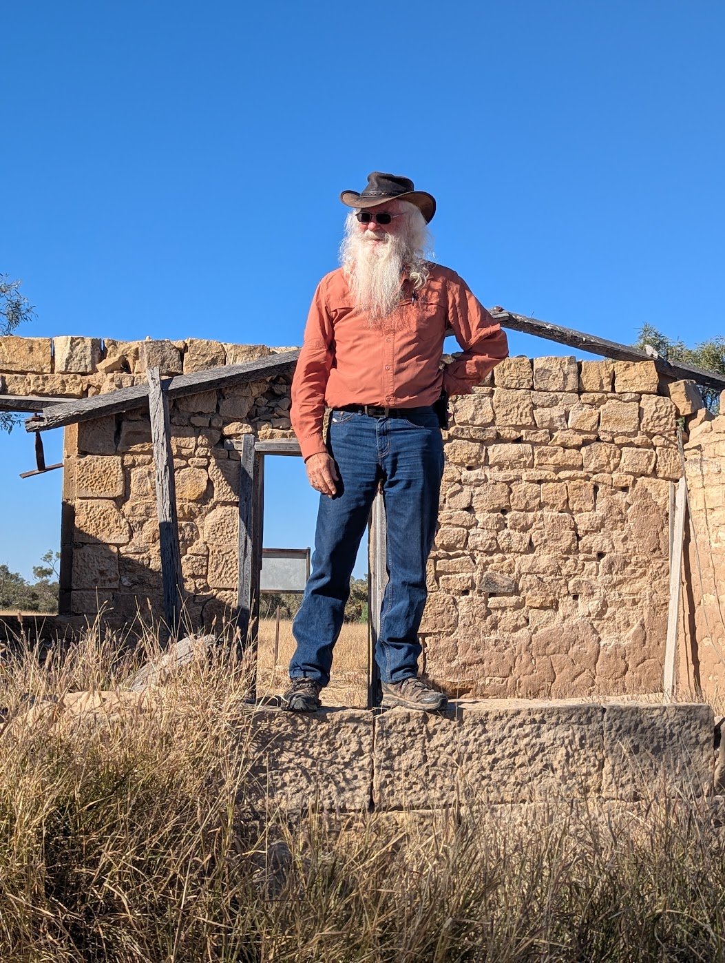
The ranger station and lakes drives were still closed following the Paroo River and its tributaries flooding. Exploring old Caiwarro homestead provided us with a history lesson as we wandered around the ruined buildings, tennis court, stockyard and machinery relics. Caiwarro and Corni Paroo waterholes were, or course, full. Budjiti and Mt Torrance lookouts provided spectacular views of the park and the Granites Walk took us around the base of the culturally significant outcrop. Our final night in the park was by the semi-permanent wetland at Myninya camp.
Thargomindah
Thargomindah was devastated by the recent flooding and the brown high water marks could be seen on the buildings. Despite this the town seemed to be on the way to recovery and the community was welcoming.
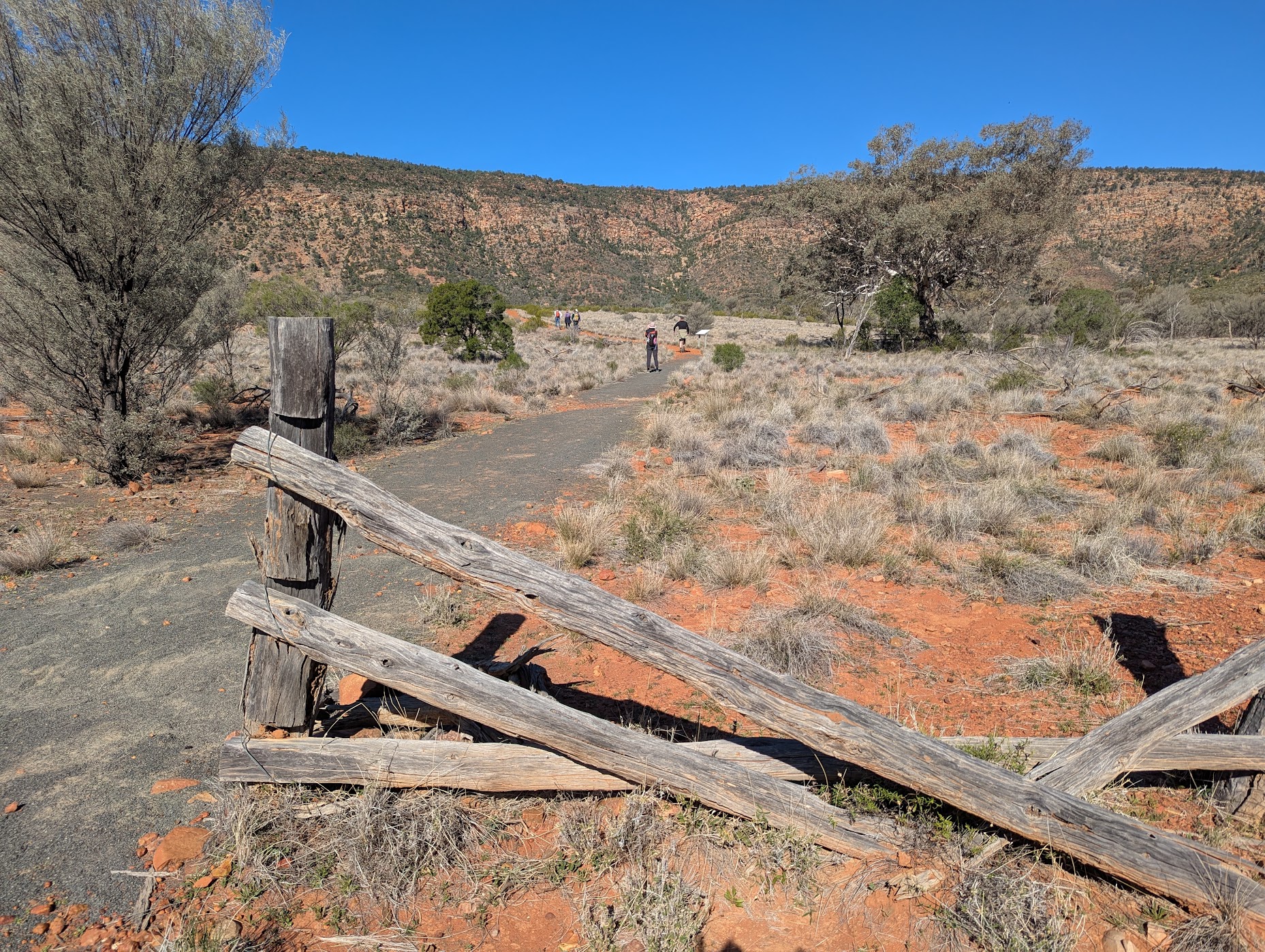
Hell Hole Gorge National Park
Despite the name and its terribly history, today this is a quiet and beautiful park. We were lucky to be able to visit as the entry road and the park had just opened. The effects of the flood were visible with vegetation strewn high into the trees and along the riverbed. The park was so pleasant we stayed a second unscheduled night.
Blackall
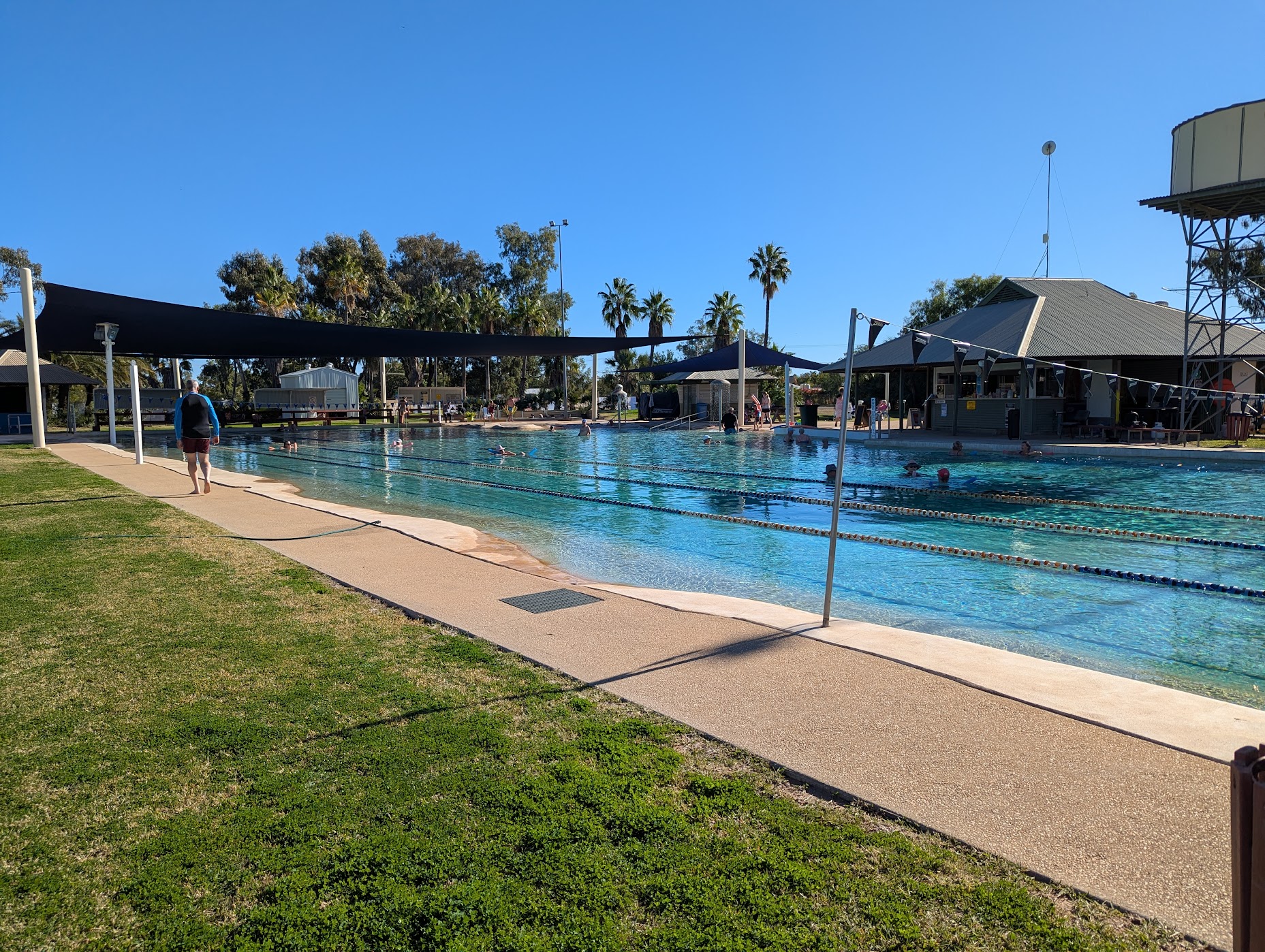
While we enjoyed a hot shower and the chance to do domestic chores and shopping, Blackall has so much to do and see with its history, galleries and cafes. Watching the camp draft, as riders selected a single beast from a herd of cattle and then pushed it through a figure-eight course around pegs and through a final gate, kept us entertained for some time. But it was the aquatic centre that was a highlight. The 50m pool is filled with water from the artesian basin and was 33°C on the days we visited. It isn’t difficult getting into the water and it is so relaxing. The pool shop icecreams are pretty good too.
Idalia National Park
This small national park has a little bit of everything, even a wave rock. Idalia sits on the Bulloo River headwaters on the Gowan Range tableland. Our drives and walks took us through mulga woodlands, past gorges and rock plains, tree-lined plateaus, an old mustering camp and stockyards. The camp at Monk’s Tank was protected and peaceful.

Mt Slowcombe
Yaraka has a pub, fuel and historic railway station but the best views of the town can be seen from Mt Slowcombe. Unhitch your trailer before driving the short but steep road up the mountain. The lookout provides views of the Yang Yang Ranges, plains and grazing land. There is also mobile phone reception here, right next to a tower. Watch for emus and the odd echidna as you drive.
Welford National Park
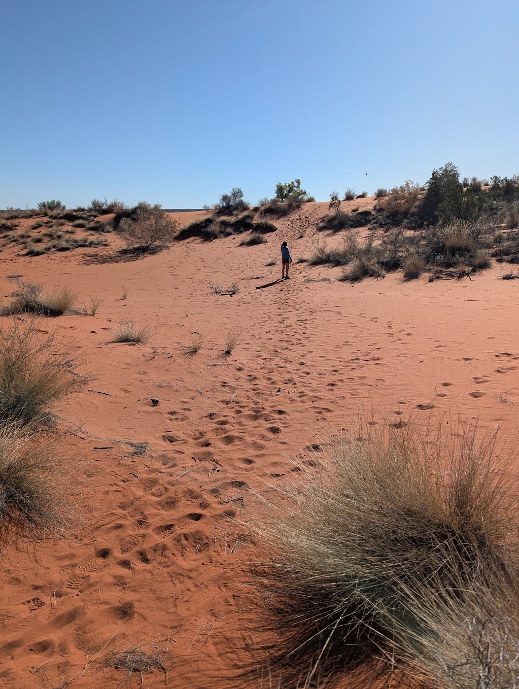
There are no walks in Welford NP but there are drives. The Mulga drive took us through river flats and mulga bushland, past historic stockyards and waterholes. White and purple wildflowers covered this section of the park. The upper part of the drive was still closed due to flooding washouts. The Desert drive is perhaps the best of the drives. The road takes you through Mitchell grass plains, mulga woodlands, past a waterhole, vibrant red sand dunes (the first of many on this trip), white ghost gums, pastoral relics and capped oil and water bores. A walk up the impossibly red dune showed evidence of animal tracks and the flora surviving on the dunes.
Little Boomerang camp is on the Barcoo River at a large, permanent waterhole lined with coolabahs. Brian caught a yellow belly but no yabbies. We were the first campers at Welford following the floods.
Dinosaurs
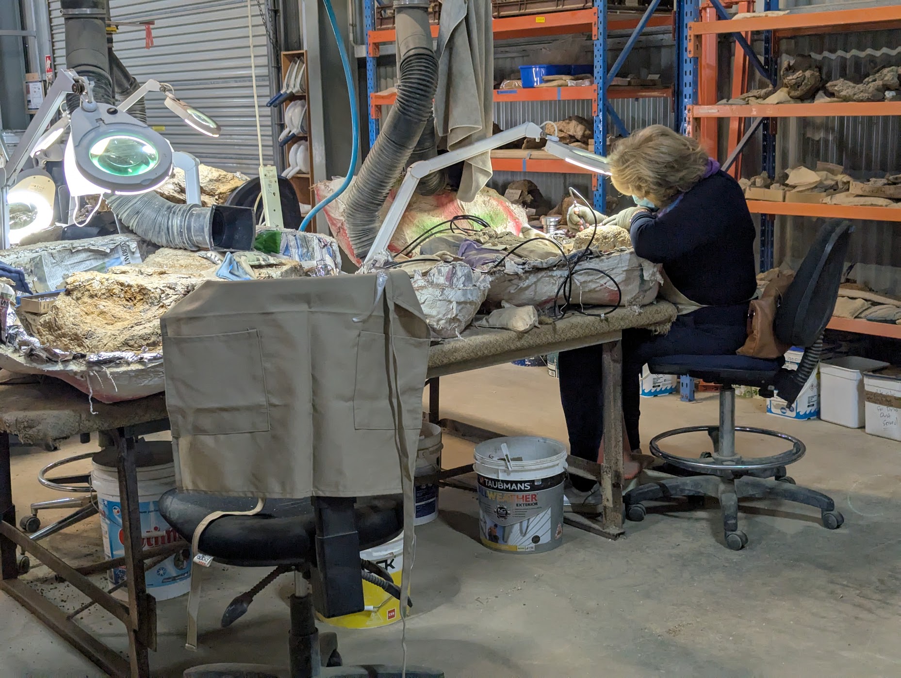
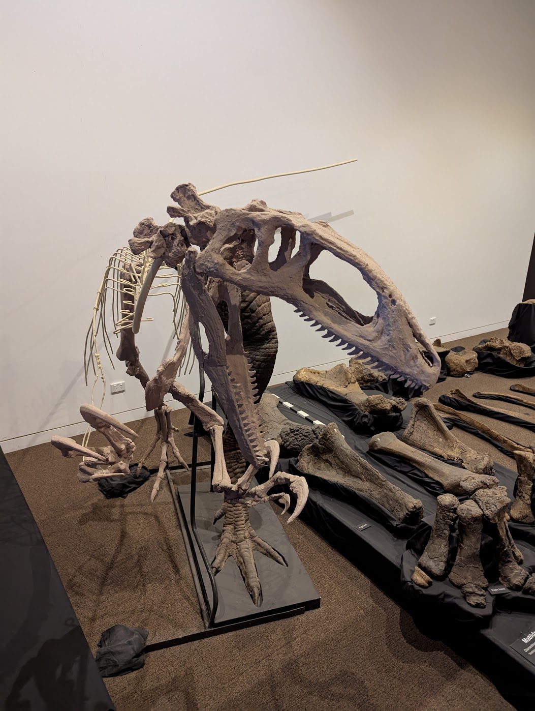
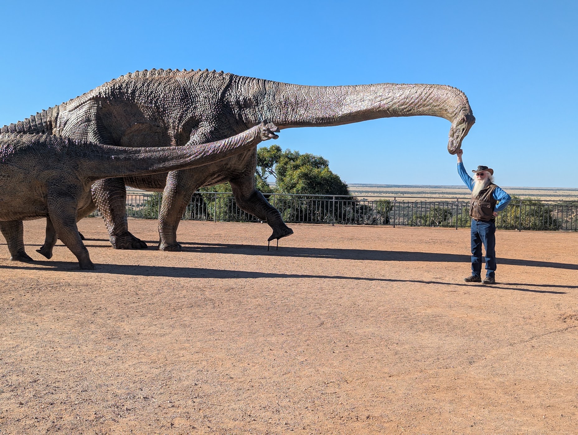
We were heading into dinosaur country so a visit to the Winton’s Australian Age of Dinosaurs Museum of Natural History was our first stop. The tour took us through the fossil preparation laboratory, the collection room, dinosaur dioramas and the ‘march of the Titaosaurs’ exhibition. The exhibition houses footprints of animals that inhabited the past rainforests and muddy billabongs of Queensland.
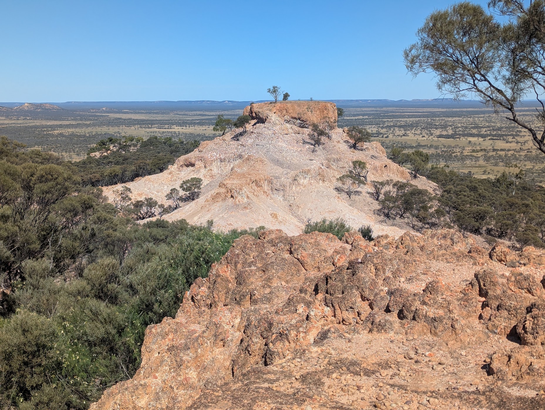
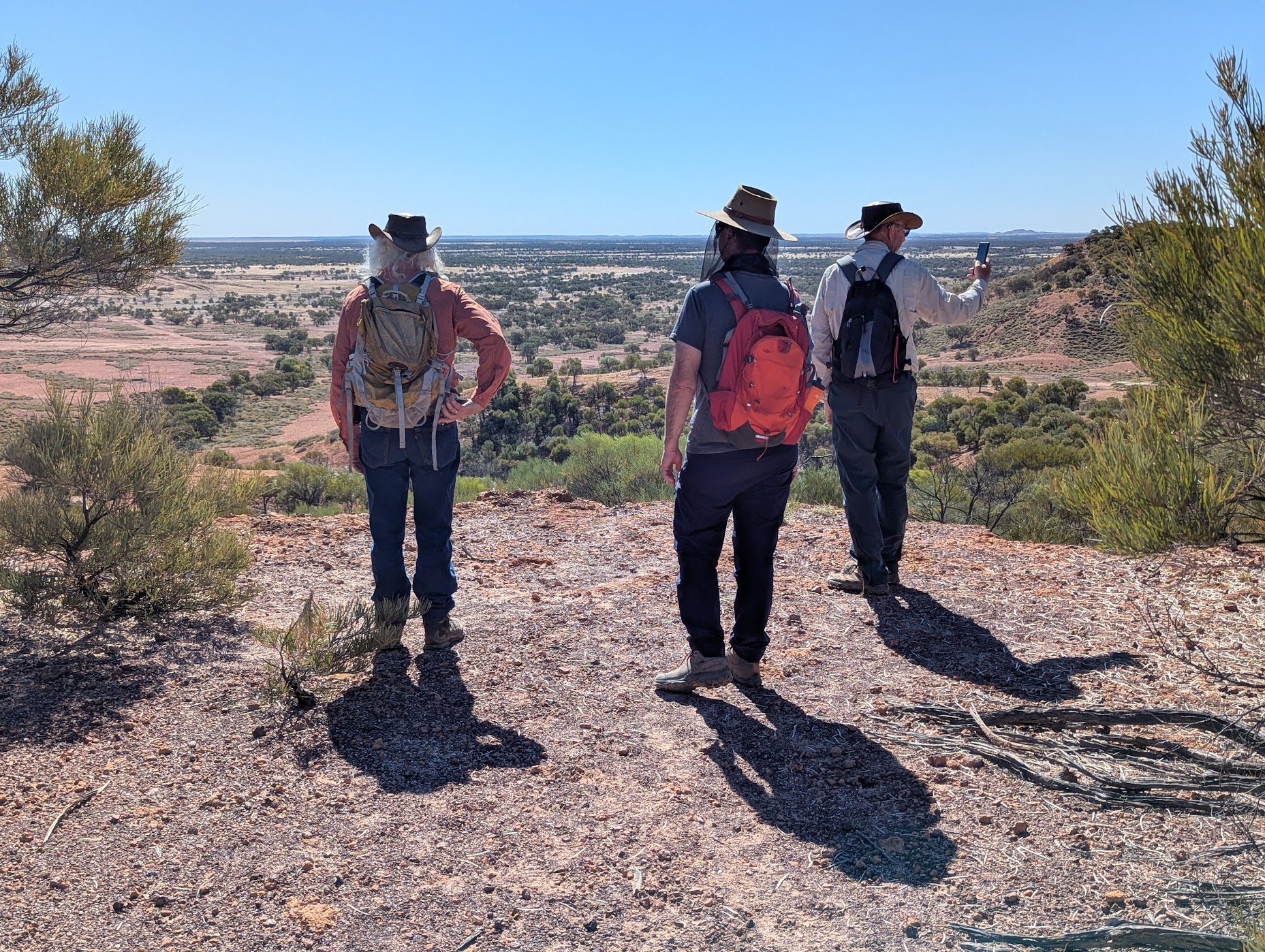
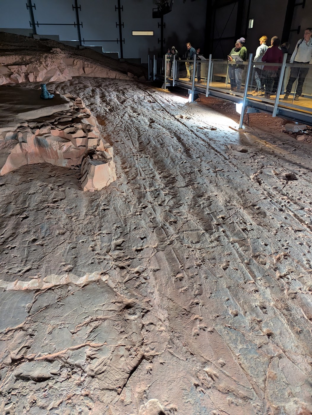
Our second dinosaur experience was at Lark Quarry Conservation Park. This was the original dinosaur stampede site and was an excellent display with over 3000 footprints on the rock face. The conservation park also has two walks: the Spinifex Circuit with a lookout at the end of the track with views of the Mitchell grasslands and channel country, and the Jump Up Loop walk. This walk begins easily and then climbs the western escarpment before descending to the carpark. The views at the top are impressive.

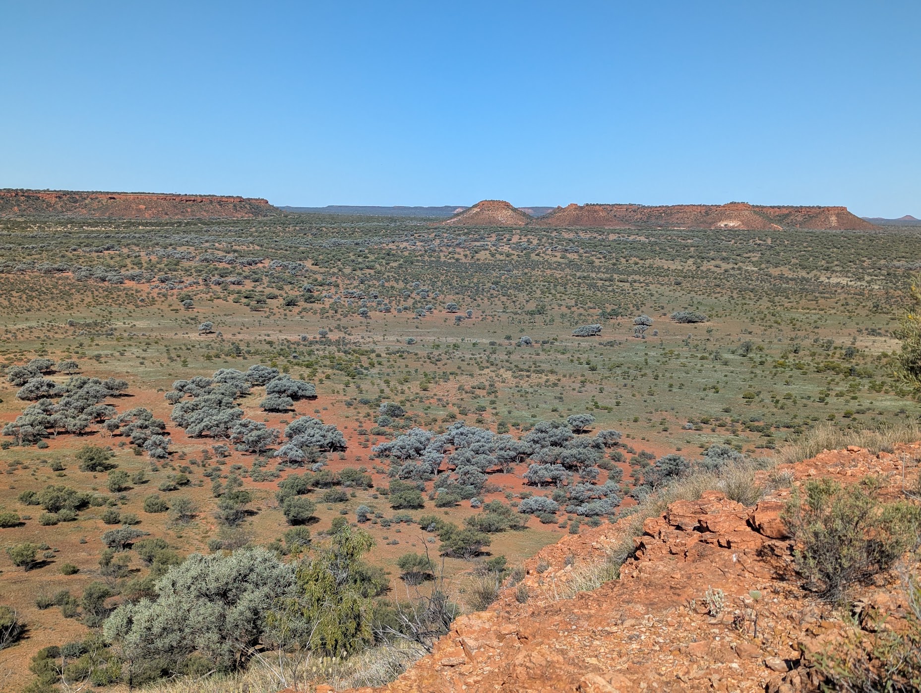
Diamantina National Park
The views from Janet’s Leap are magnificent, with the Goyder Range to the west and the Hamilton Range to the east through which the channels of the Diamantina River come together and flow through the Diamantina Gates. The lookout is named after Janet Holmes A’Court, who sold the land to the government to establish the NP.
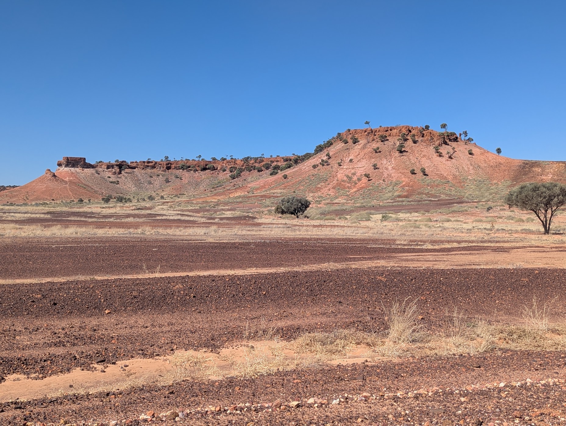
The Visitors Centre held a wealth of well-presented local information about the history, plants and animals of the Diamantina. Hunters Gorge showed the ferocity of the flooding. The backdrop to Hunters Gorge is the Moses Cone and Mount Mary – both impressive sandstone landmarks.
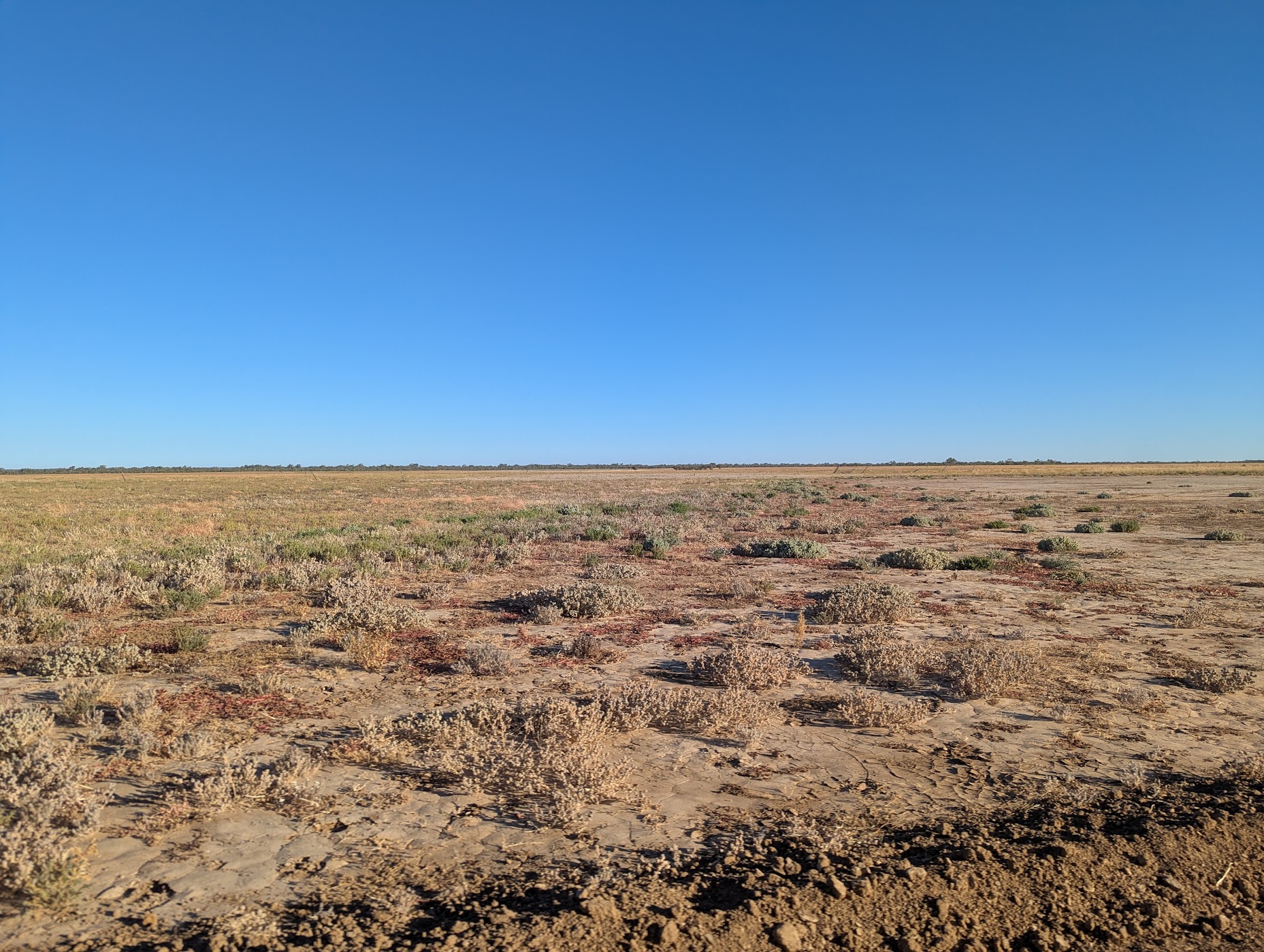
A trip amongst the sand dunes, claypans, gibber plains and grasslands of the Warracoota Circuit Drive, with stops at the bronco yards, Lake Constance, the swampy floodout, waterholes, mystery Warracoota ruins and Gum Hole yards provides a great opportunity to explore the history, both Aboriginal and European, the landforms, plants and animals of the area.
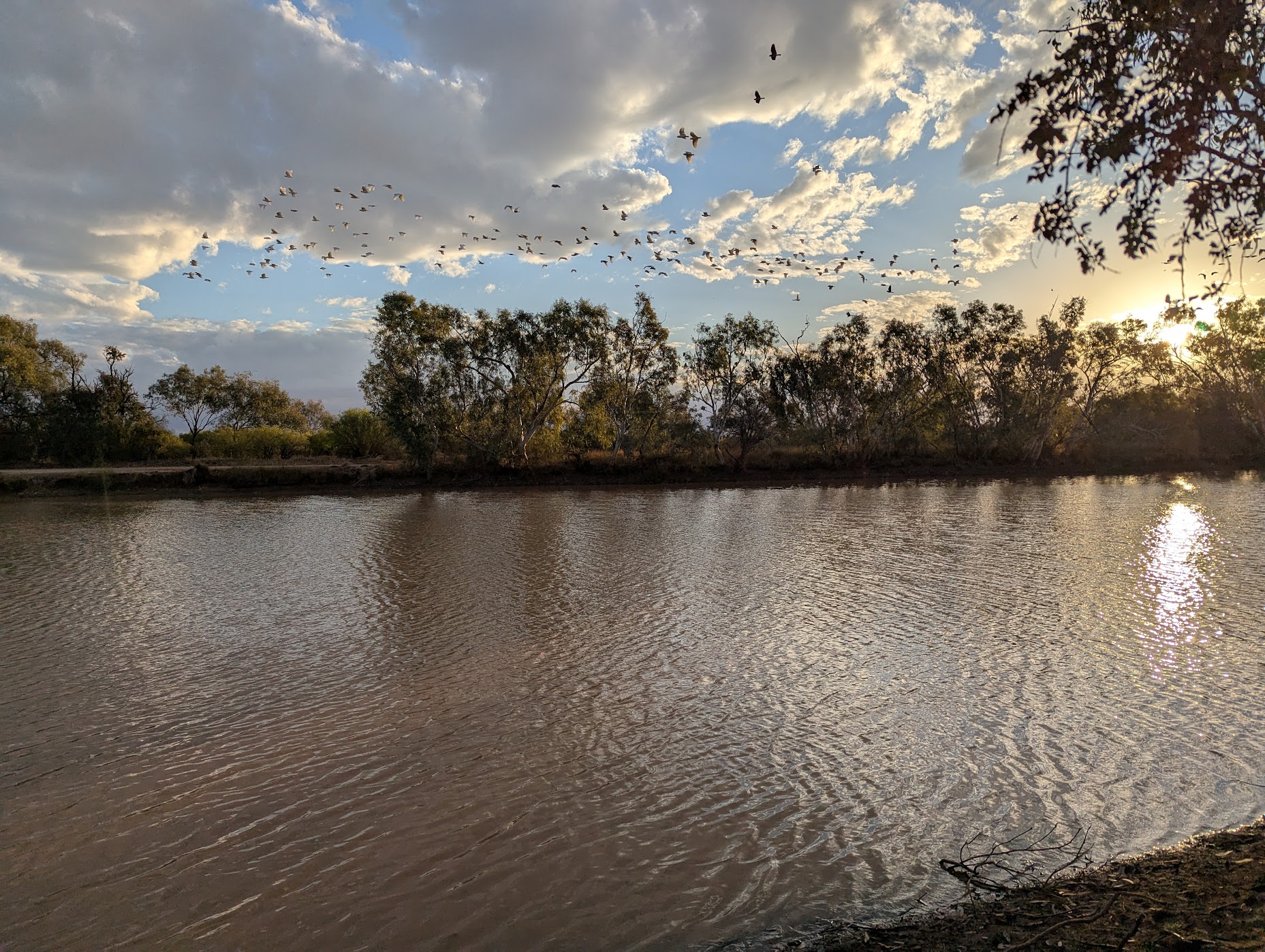
Our stop for the night was Gum Hole campground on the banks of Whistling Duck Creek under the coolabah and bauhinia trees. The sunset bird show was entertaining if not noisy.


Tarlton Downs Station
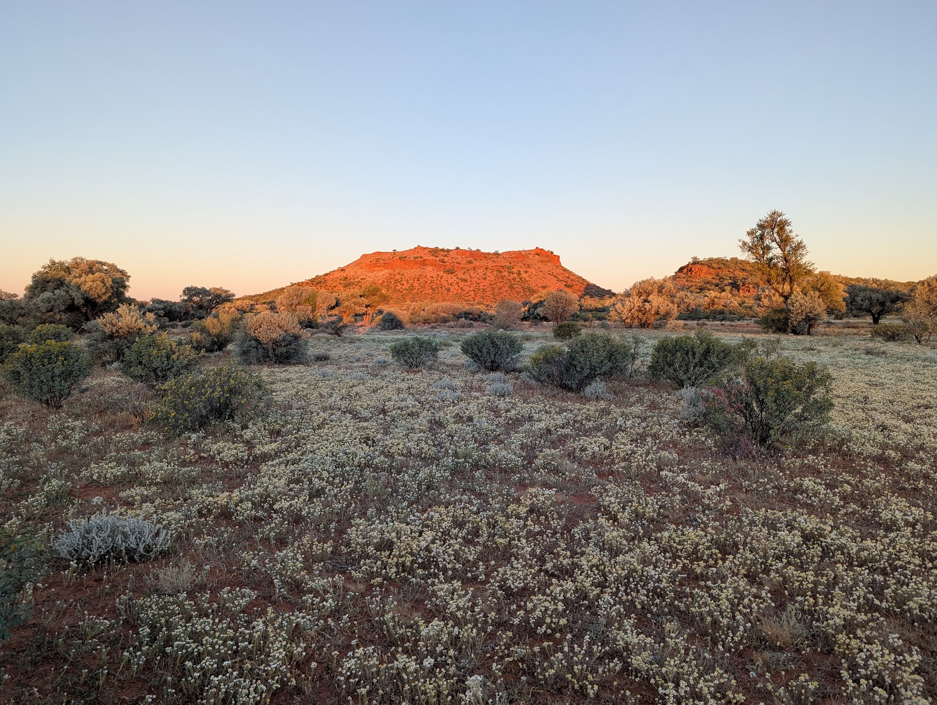
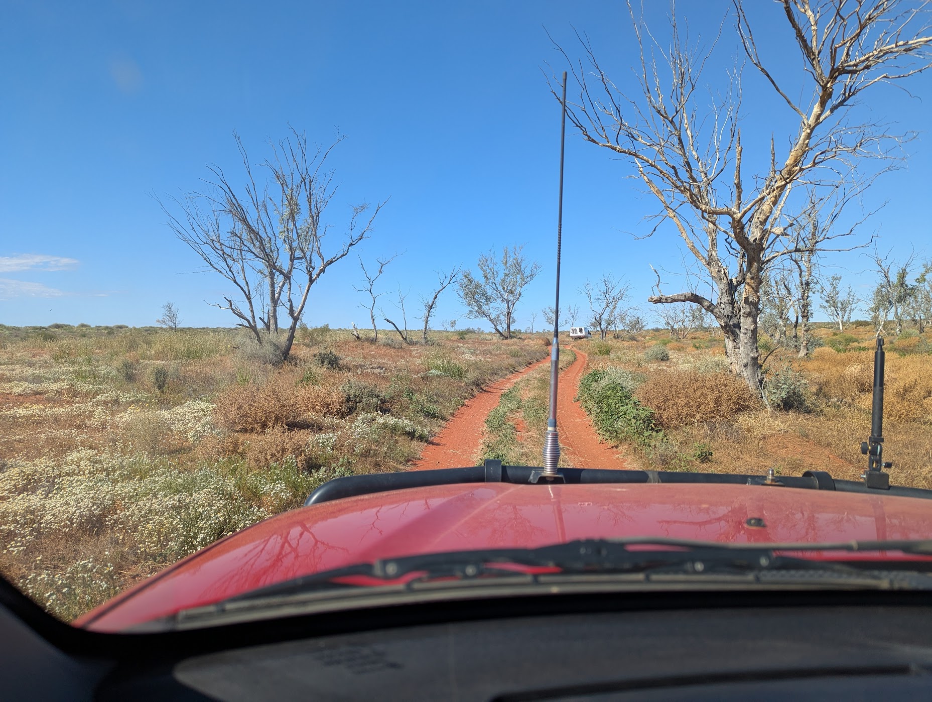
Batton Hill camp, at the north of the Hay River Track, is neglected. The vision of the founders has been lost with the younger generations. So, we aimed for Goyder’s Pillar. The pillar is on a private cattle station so permission is required to enter. Access to the pillar was not simple with deep ruts caused by flooding. The track became impassable so we backtracked and set up camp in a daisy wildflower meadow beneath the Adam Range. This would have to be the prettiest camp with the carpet of wildflowers and the sunset bringing out the vibrant oranges and reds of the sandstone range behind.
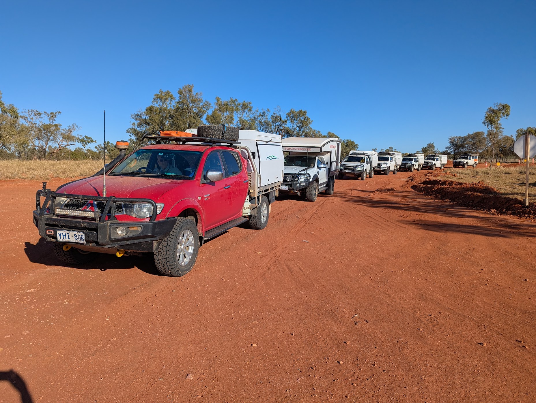
Hay River Track
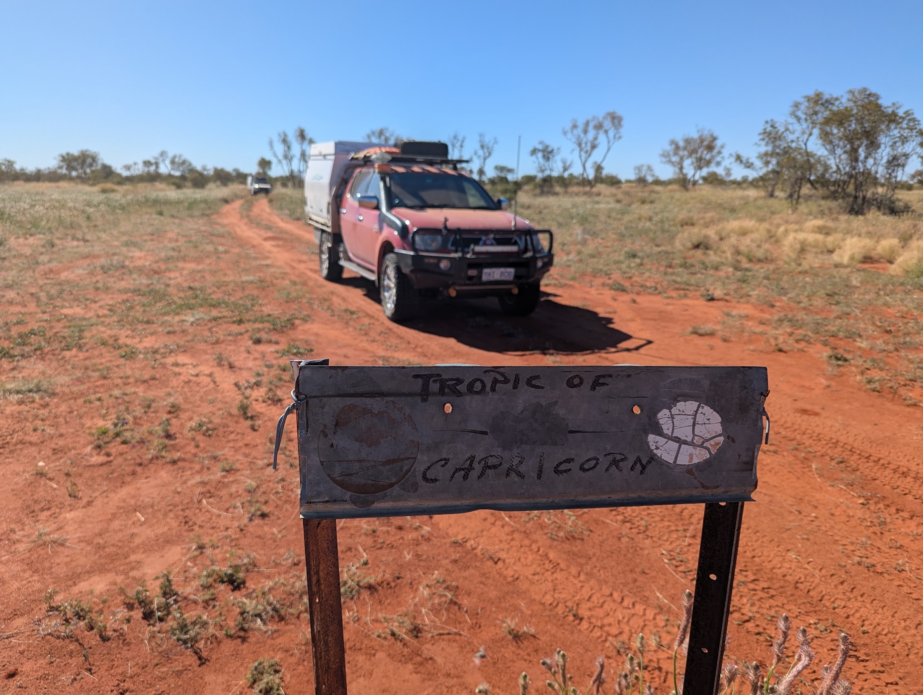
The track would test both cars and drivers over five days. With Mt Tietkens, Mt Smith and Mt Winnecke in the distance we drove along the grass and spinifex plains. Bushes, bloodwoods and gums dotted the landscape, as we followed the Hay River with red gums lining its edges. We passed over the Tropic of Capricorn and on to the dingo well. The dingo well is an unnatural water supply established by some researchers who believe that by supplying water to the dingoes would increase their population and therefore decrease the non-native pests in the area. Do those pests also drink from the well? Anyway, the tap wasn’t working and therefore no water was available. We did see one dingo and many dog tracks along the Hay River Track.

We crossed the wide sandy bed of the Hay River to Lake Caroline. This large lake is a claypan and not a salt lake and is not fed by the Hay River. We saw our first camel at the lake as we walked among the wildflowers on the lake islands.

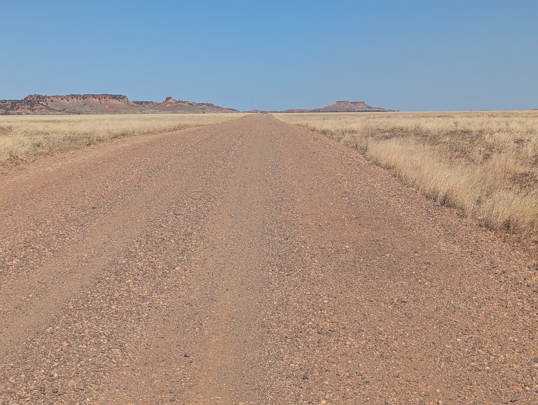
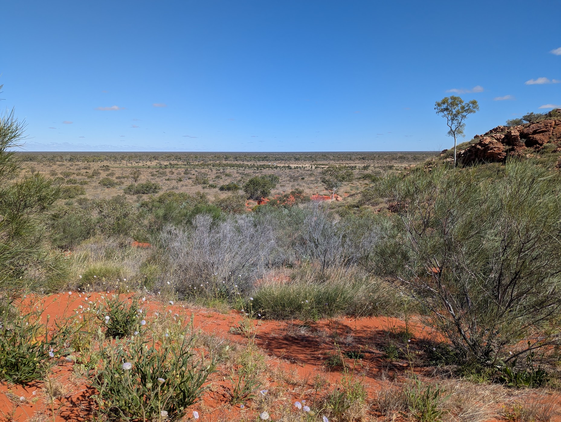
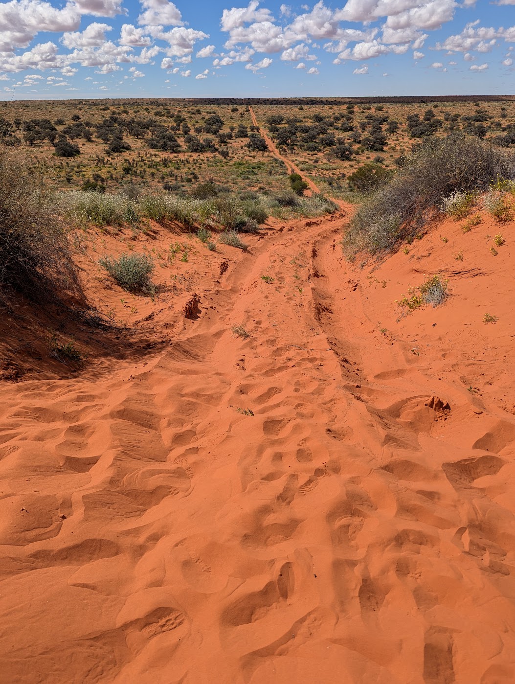
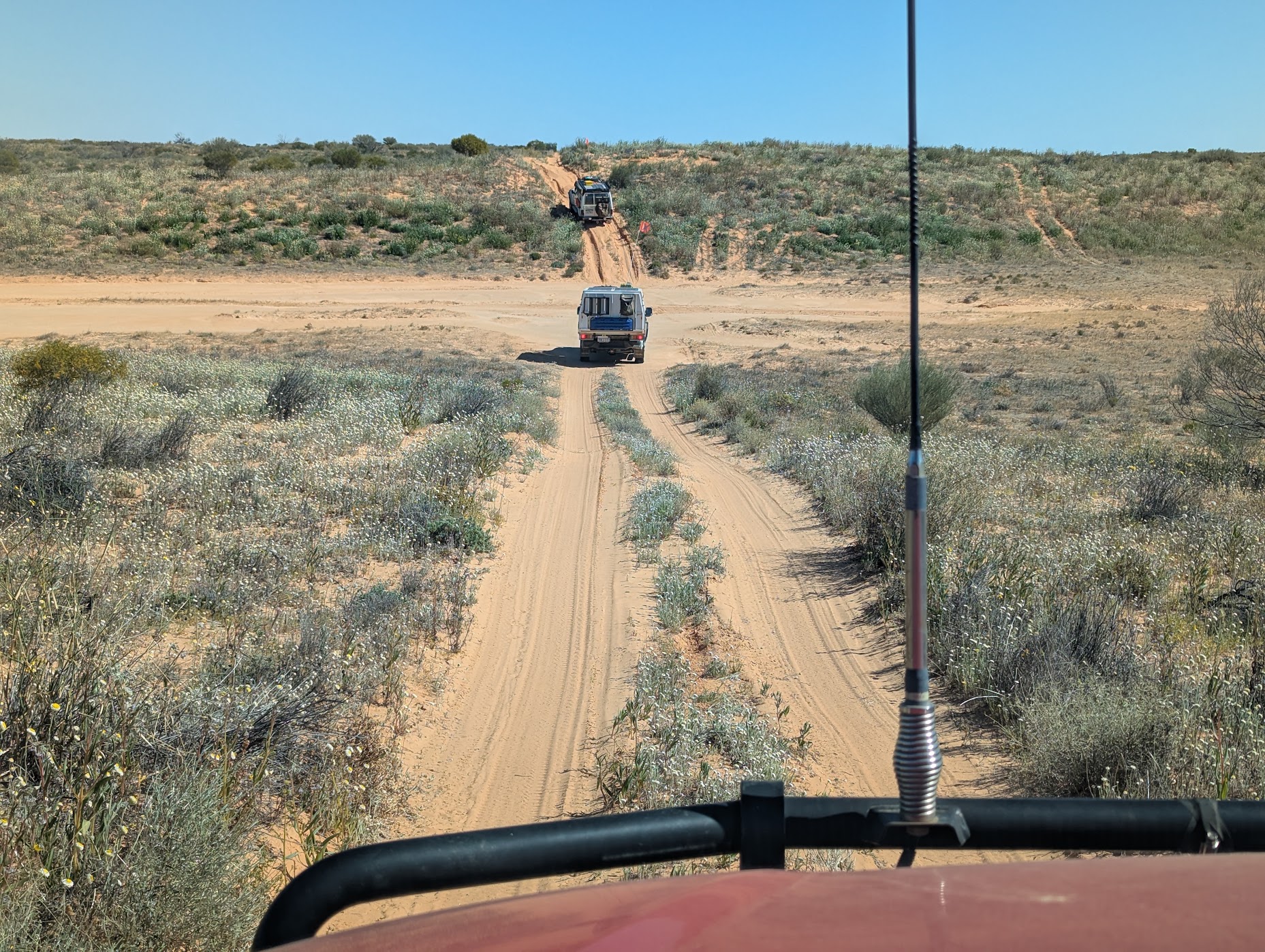
The track approach to the Madigan Line is tight and winds between erosion gullies and vegetation. The vegetation became sparser and drier as we travelled south. The road continued its wriggly way with yellow, white and purple wildflowers alongside. To the south the river and creek beds disappear and the country side became treeless and red dunes appeared. We began to drive over some smaller dunes but mostly we journeyed alongside them.
Venturing further south there was plenty of rocking and rolling along the track, including some difficult dune crossings as they had been ripped up by previous drivers probably with inappropriate tyre pressures.
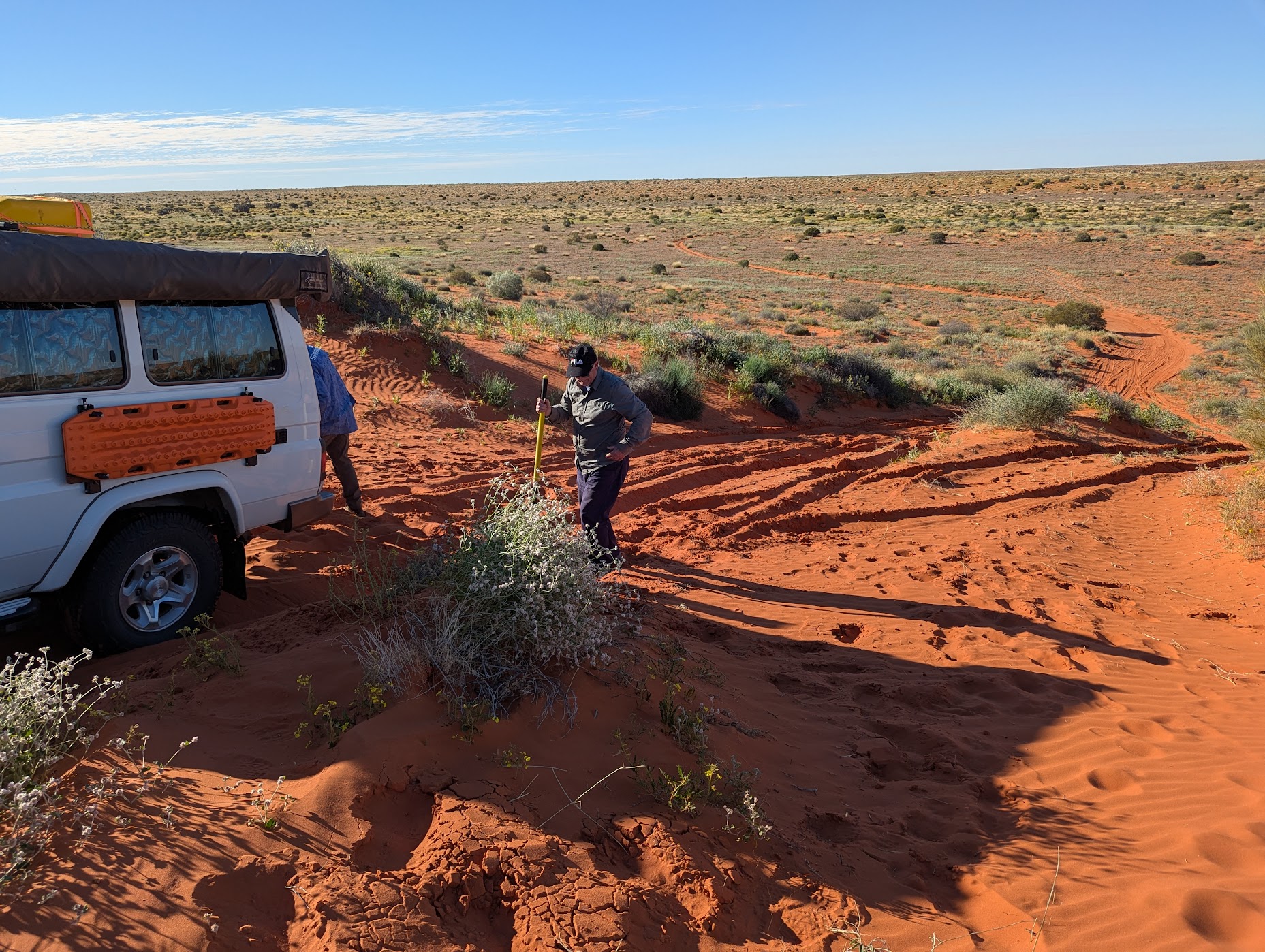
A stop at Madigan camp 16 and the blaze tree was disappointing as we couldn’t distinguish the blaze. We saw budgies, crimson chats, and plenty of camel, emu and dog tracks. Next stop was Beachcomber No 1 well. Many 4WDing skills were required as we continued south with long, steep gnarly dune ascents and diversions around washouts.
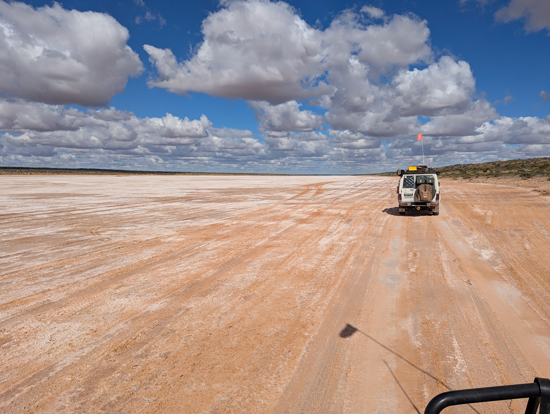
It was a convoluted route to Poeppel’s Corner due to washouts and water in the claypans, rather than a smooth ride on the claypan edges. It truly looked like an inland sea at Poeppel Lake. The view was spectacular with the red dunes against the water. Emus walked on the claypan edges.
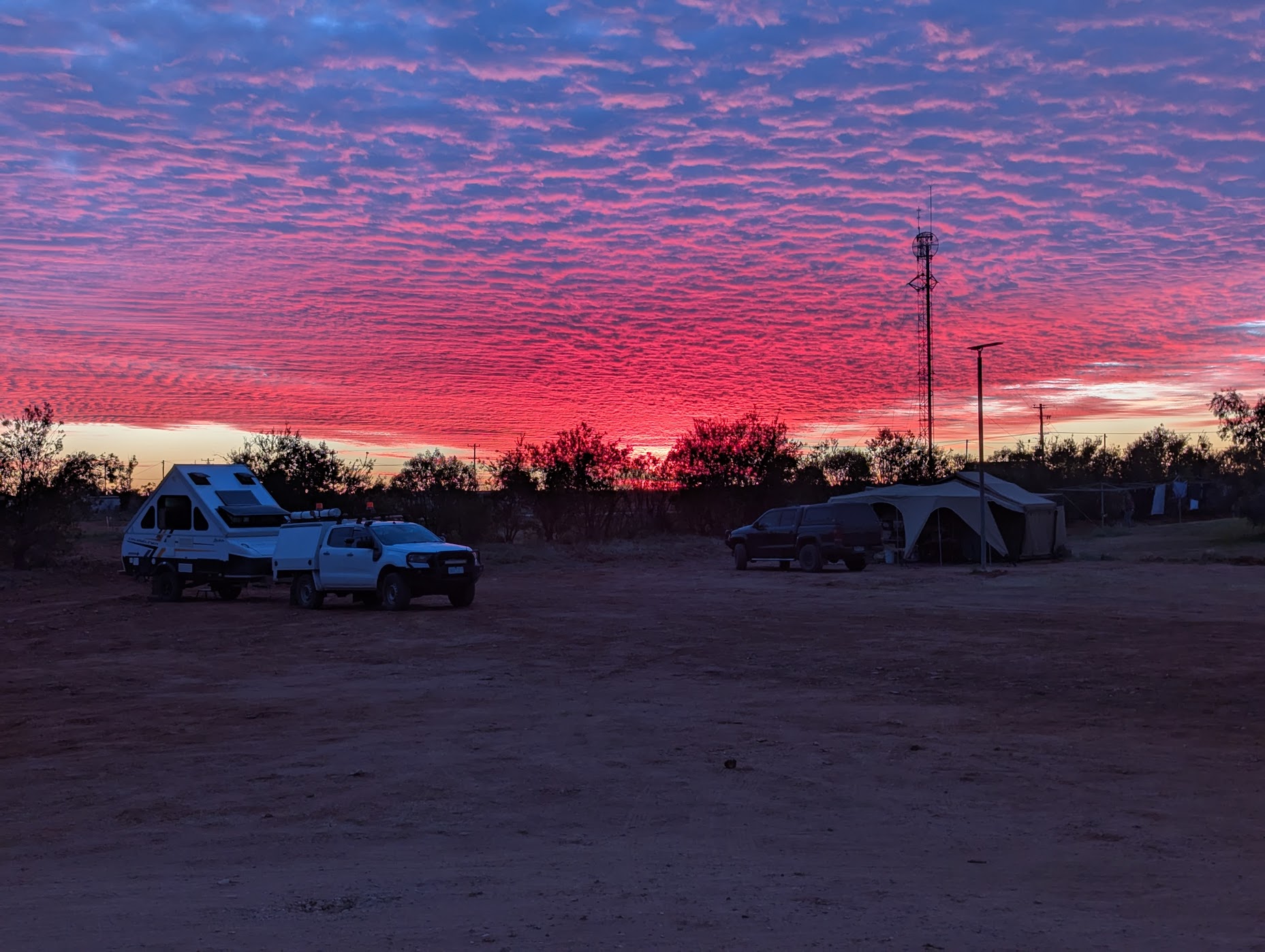
The nights were cold along the track, and a cool breeze stayed with us during the day. Unfortunately, the breeze did not stop the flies.

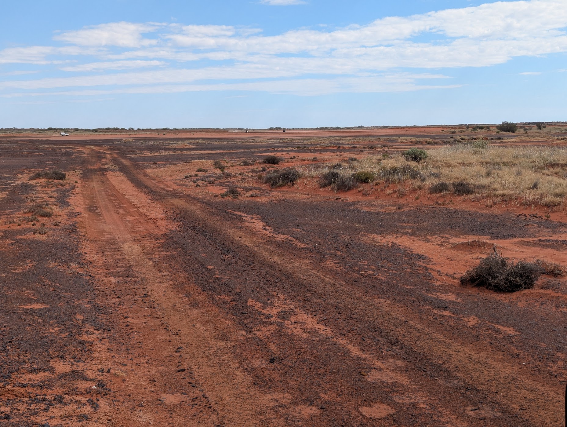
Simpson Desert
The convoy split at Poeppel’s Corner, with some heading east to Birdsville and others west to Dalhousie Springs and Mt Dare.
Heading east
The dunes were more compact with only a few soft spots on the QAA Line. Eyre Creek was up to 400mm deep with a couple of routes available at the crossing. The Eyre Creek bypass and the bypass at the base of Big Red totalled an extra 80km.
Be warned: the beers at the Birdsville pub were $13.50 a schooner and the schnitzels $36.
Heading west
There was a large detour around a flooded claypan but we finally were on the French Line. The dunes were smaller and not as difficult as previous days but there were lots of moguls which made for a very rocky ride. Turning south we joined the Knolls Track before joining the WAA Line. The Knolls Track was slow, even though you are driving between the sand dunes, as the track is rough and bumpy with exposed limestone. Once out of the limestone the track becomes corrugated and vegetation grows close to the track especially across the top of a dune ridge. Approdinna Attora are the remnants of two ancient dunes of gypsum standing on their own. The walk to the top is well worthwhile with views of the surrounding desert and salt lake.
Driving west along the WAA Line the track is straight and seems to go on forever over many sand dunes and claypans. We did not meet any other vehicles along this track.
The sand dunes became lower and the claypans longer as we travelled west, making the drive easier and faster. Purni Bore was a good campsite with a flushing toilet and hot shower. Purni Bore was originally sunk by oil exploration teams which formed a large unnatural watercourse. The bore flow has since been reduced but not capped as wildlife has become dependent on the flow. This was evidenced by the large number of birds in the area.
Dalhousie Springs
The track got easier and easier with fewer sand dunes but the corrugations returned. We travelled along many claypans with some diversions due to the west/muddy track. You would sink quickly if you ventured off the track here.
A soak in Dalhousie spring was nurturing but it was too hot to stay in long (there is a chance of dehydration). The spring was welcome, but the mozzies were not. It is recommended that you have a Japanese encephalitis vaccination.
A visit to Dalhousie Ruins explains the European history of the area. The property was only active for about 10 years before drought forced the settlers from the land.

Halligan Bay
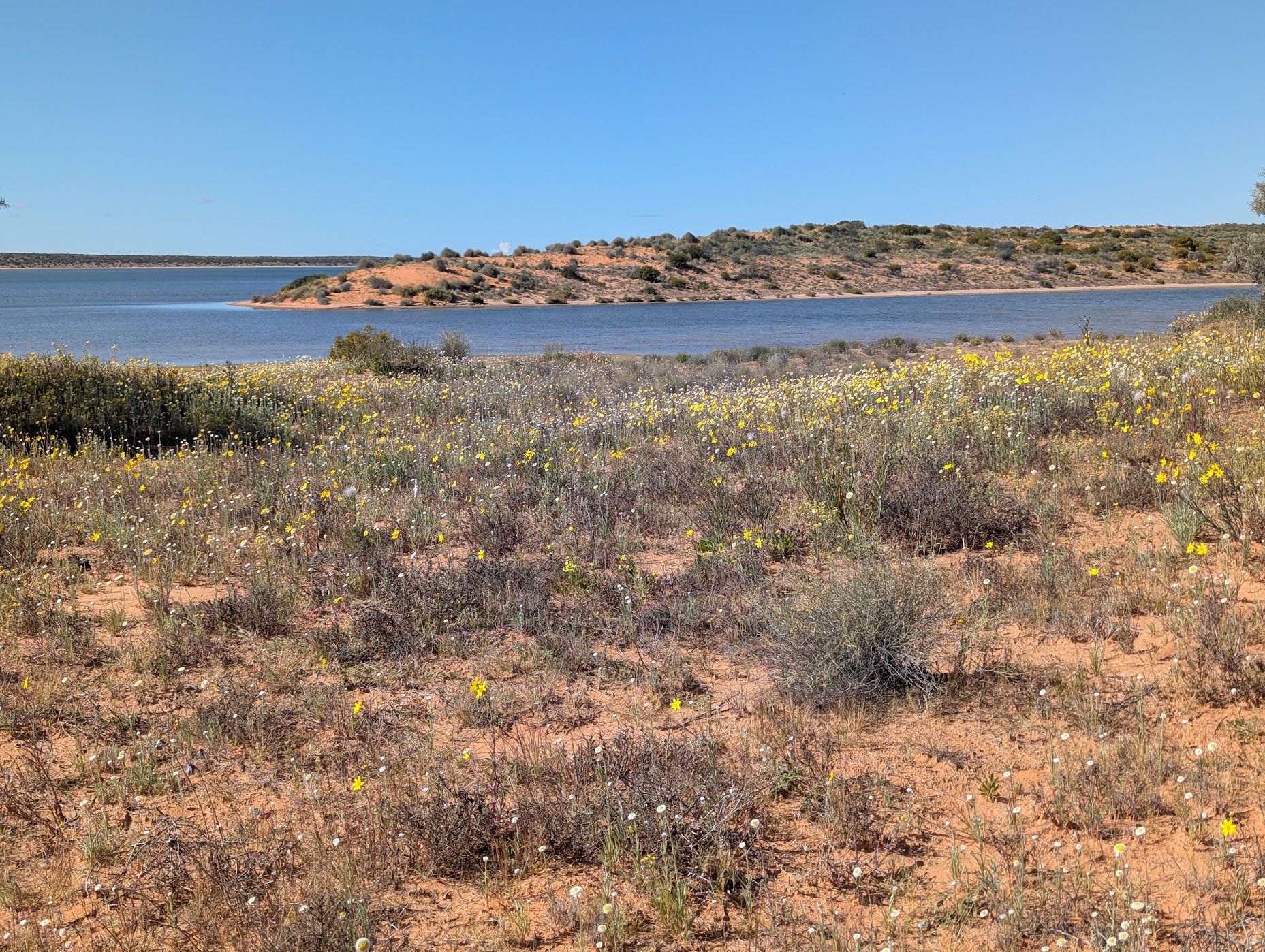
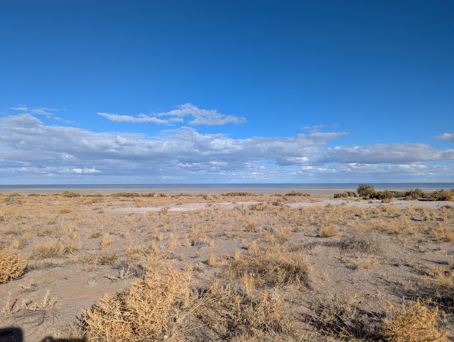
In addition to the rough corrugations there was soft sand, bulldust holes and the odd limestone rocks on the road to Halligan Bay. The vegetation was sparce and sometimes the country looked like a desolated mine site. Lake Eyre Kati Thanda was full of water. It felt like we were looking at the ocean except for a lack of waves and tides. This is Australia’s largest salt lake and, at its lowest point, is 15.2m below sea level.

The campsite was not far from the lake shore. Walking on the lake bed is prohibited but a walk along the edge through the low hardy shrubs was interesting. Rabbits are a pest in most parts of Australia and we saw evidence of their survival here. We didn’t see as many birds as expected but with the large amount of water they had many areas to land and roost.

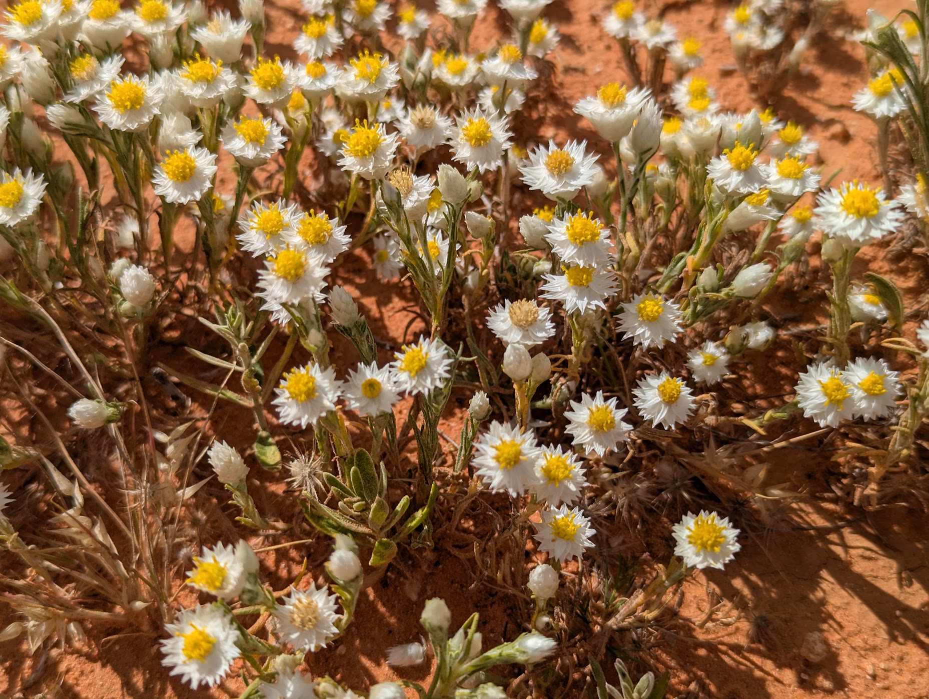
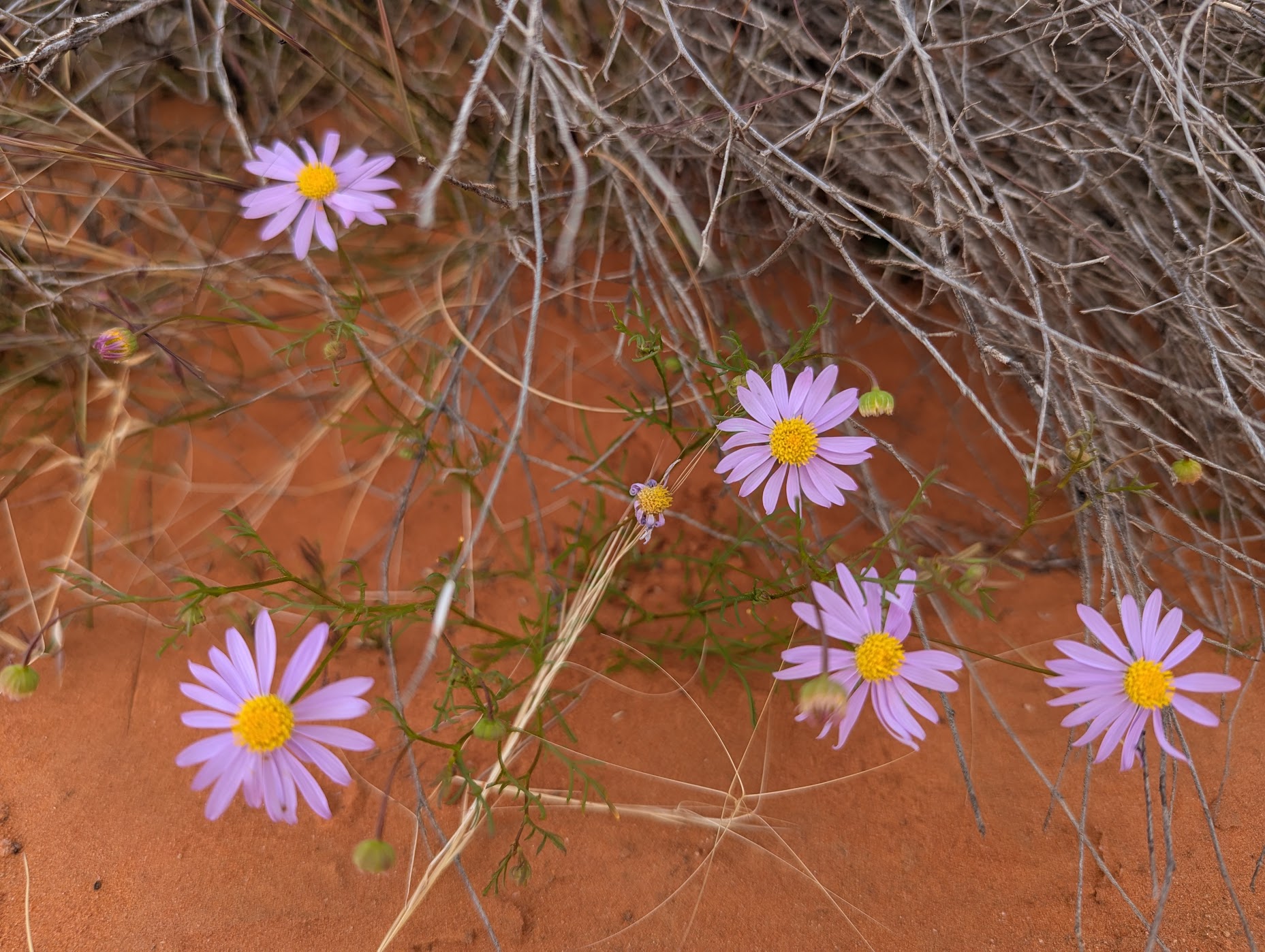
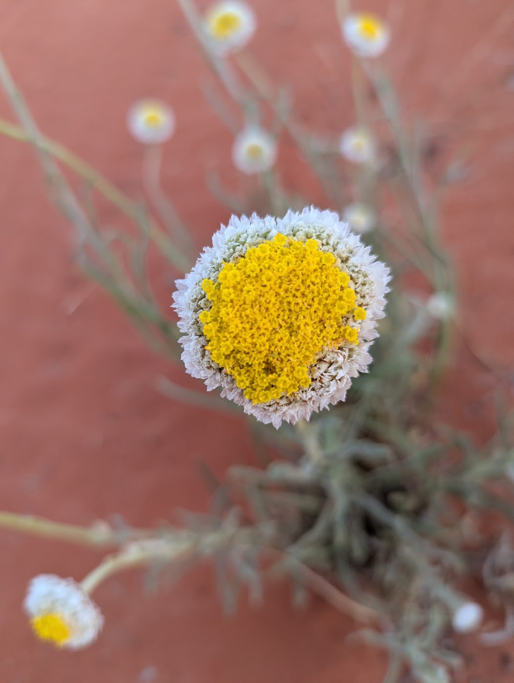
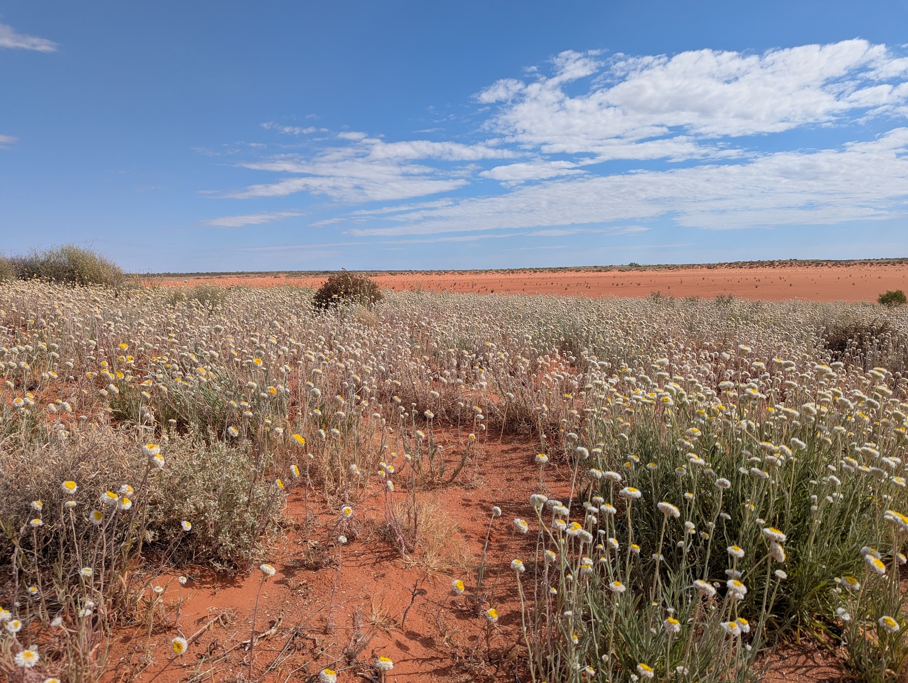
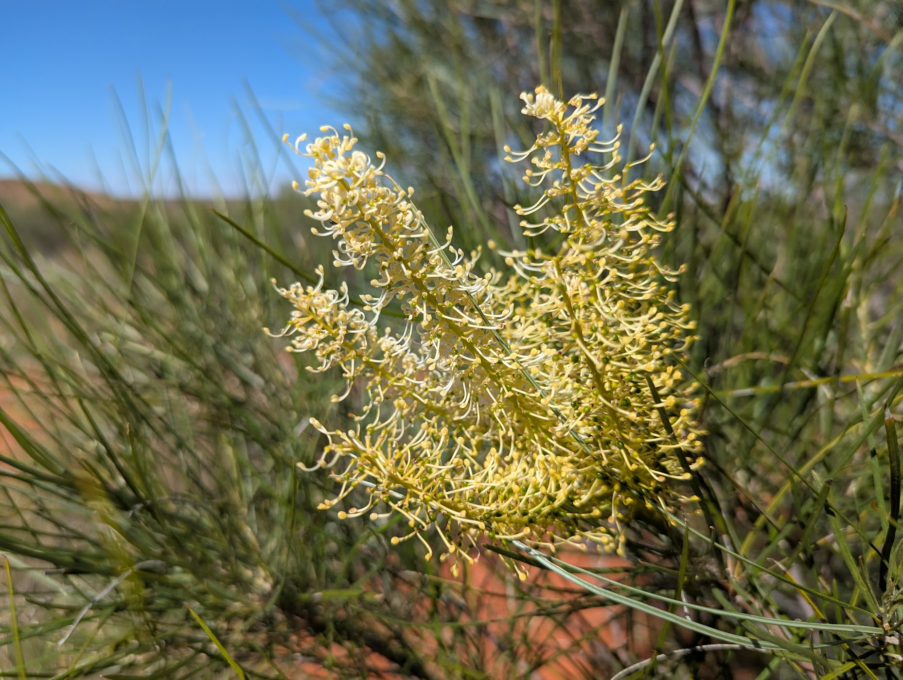
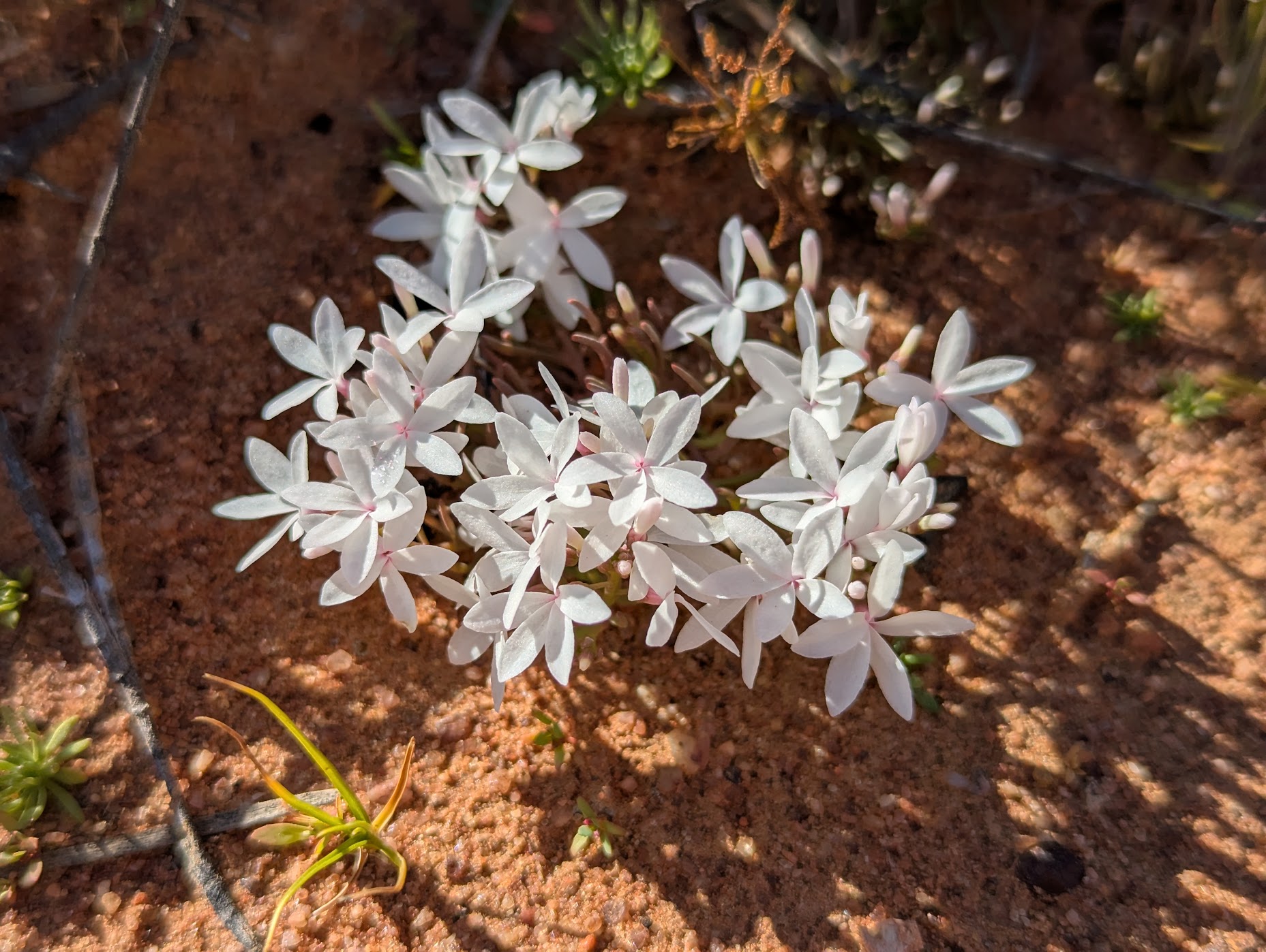
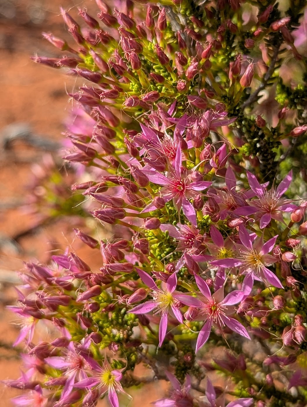
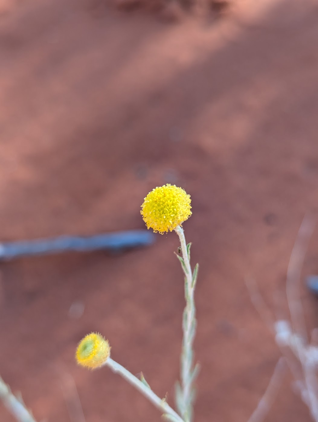
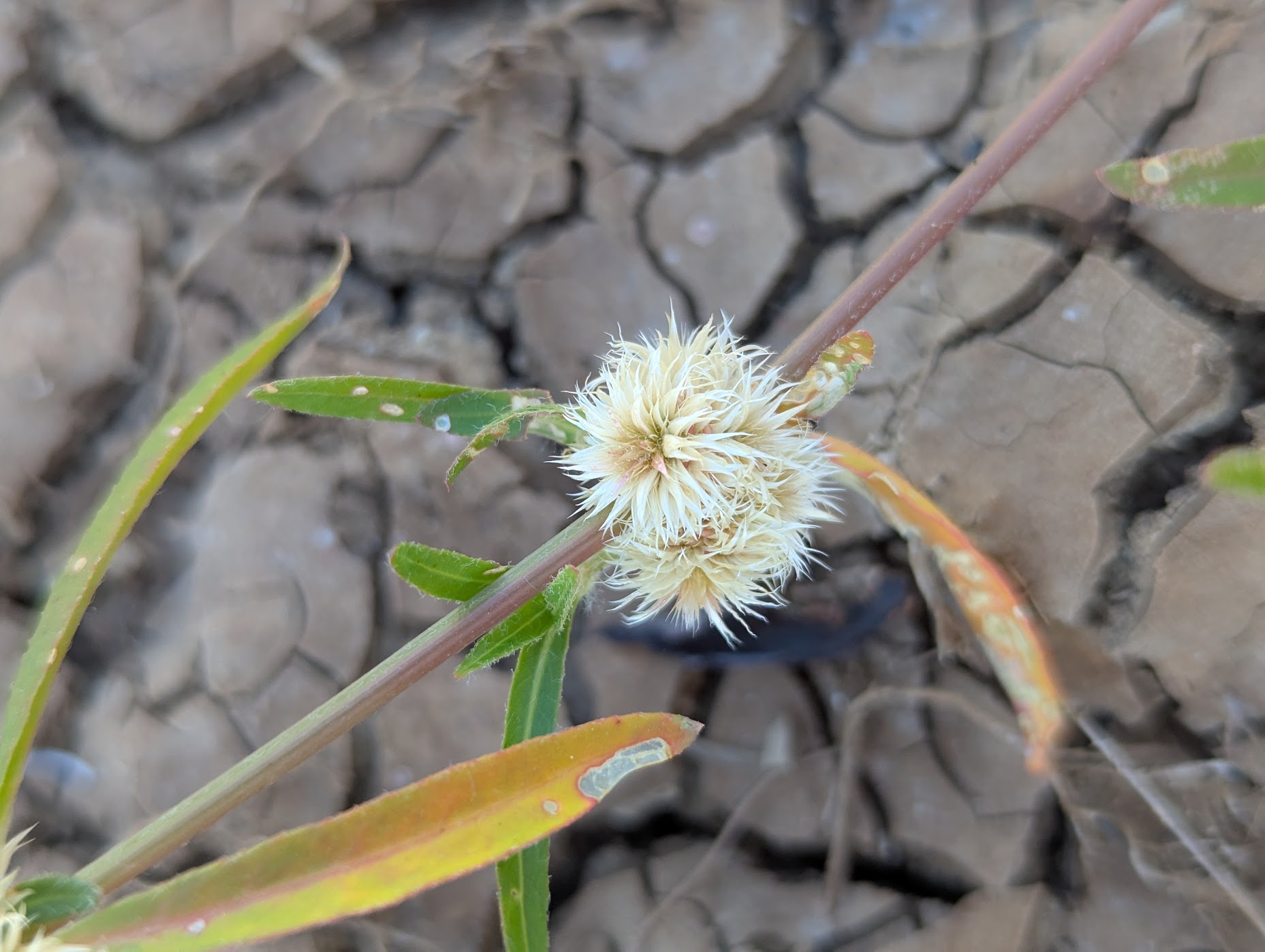
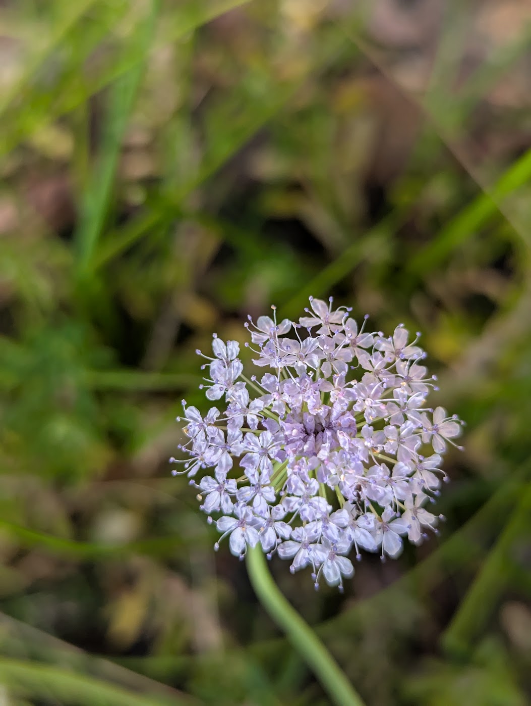
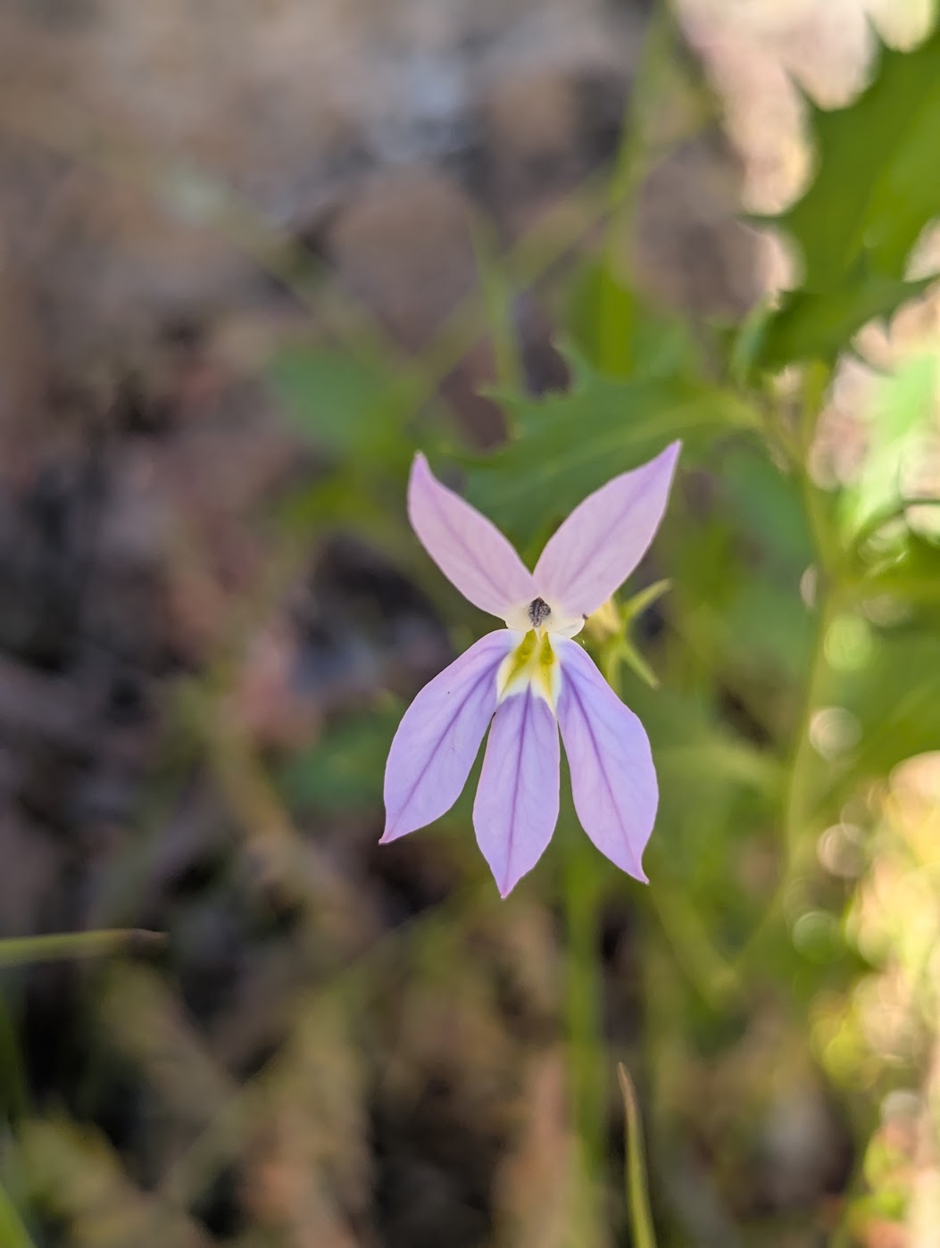
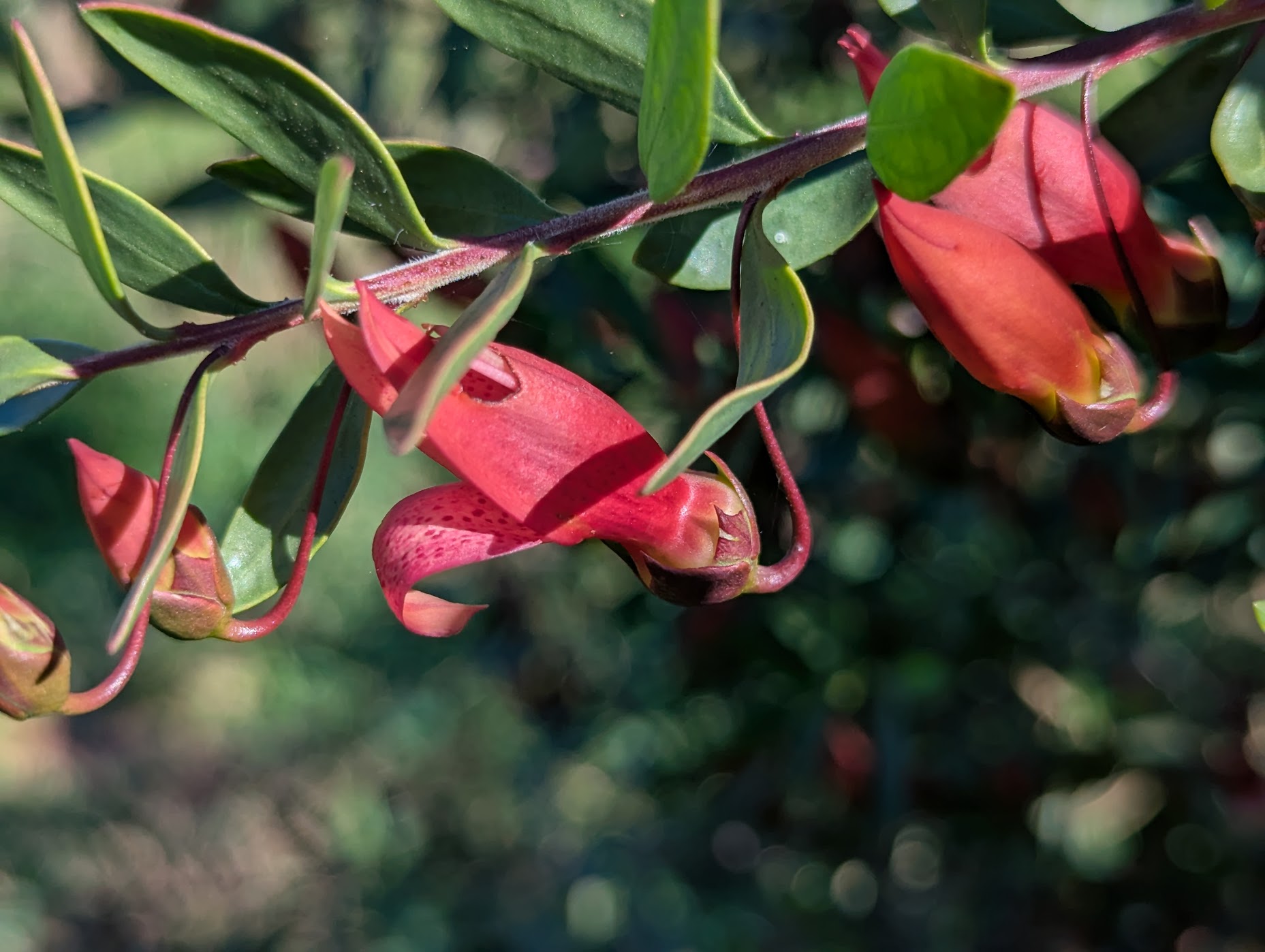
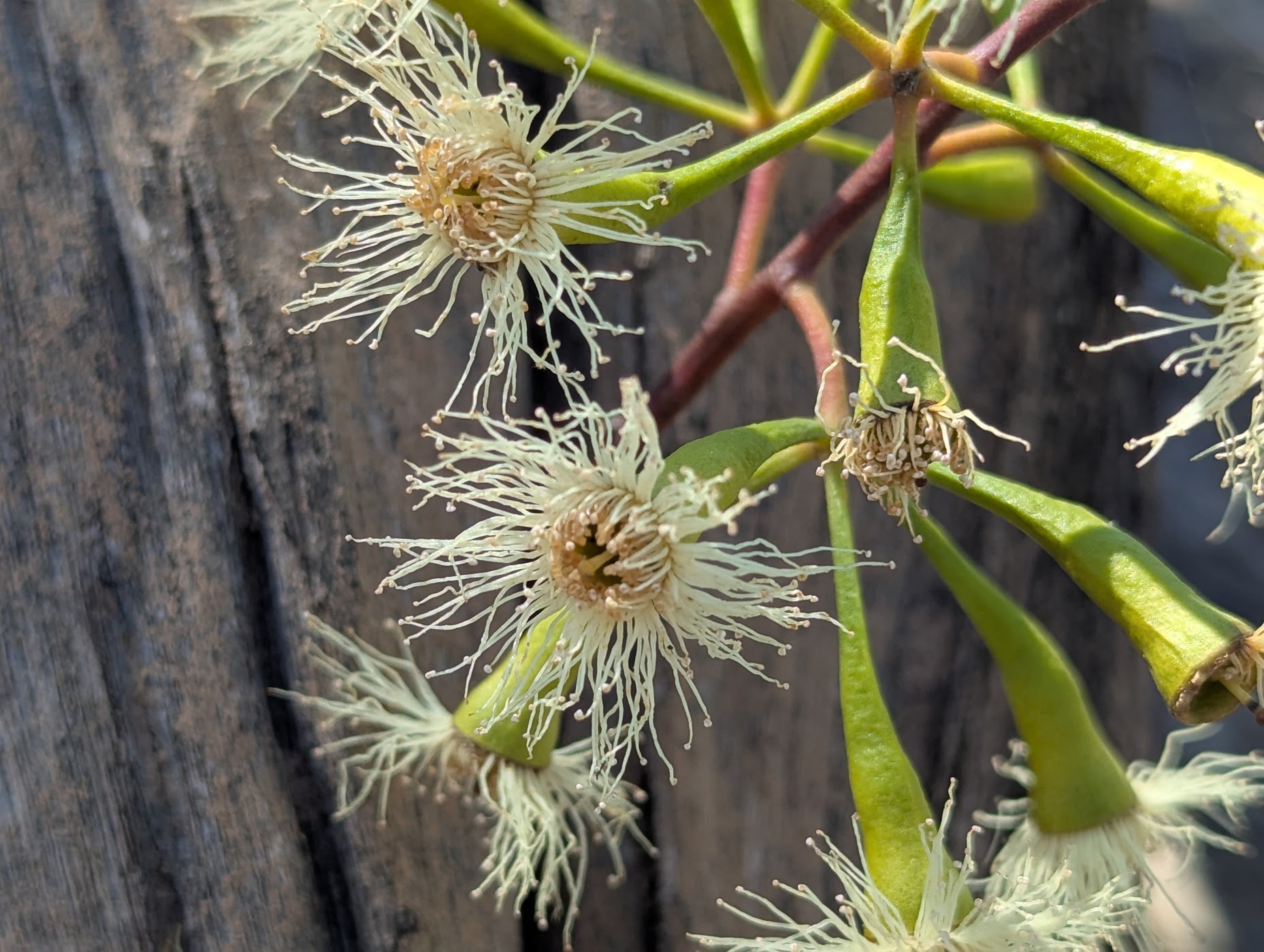
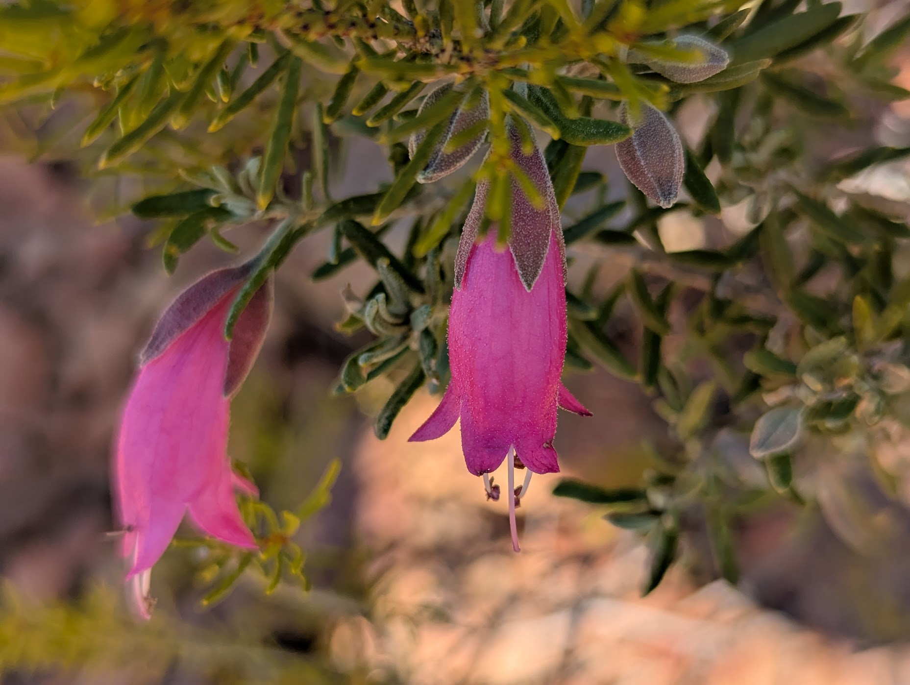
Wildflowers
While the rain and flooding from months early were devastating, they did bring the desert to life with an amazing display of wildflowers. Areas that are usually red and dusty were now lush and green.

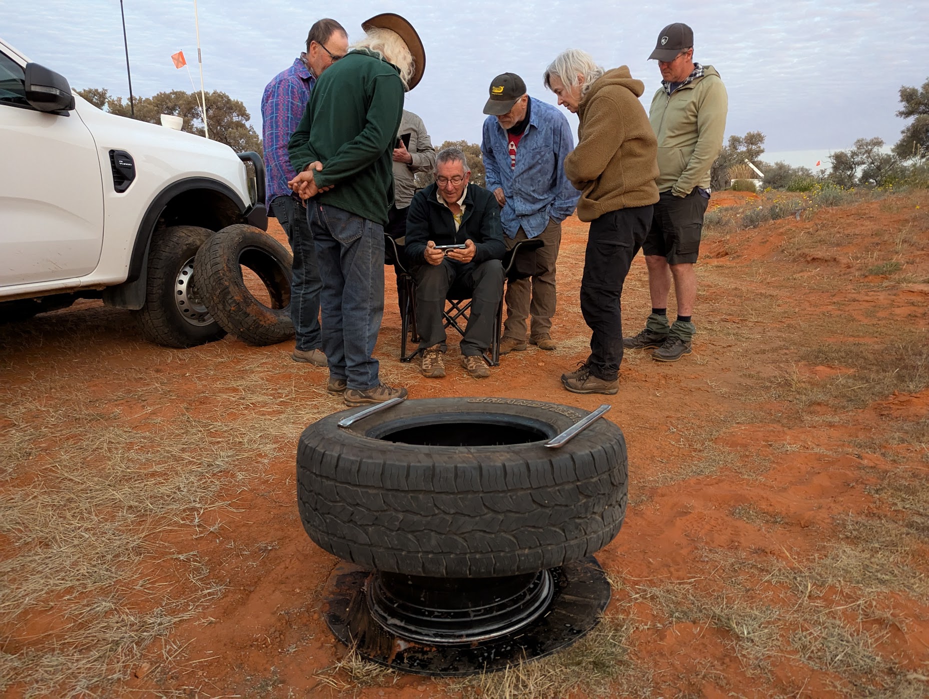
Breakdowns/Repairs
While vehicles were serviced and prepared for our journey, unexpected breakdowns happen and repairs are required. The following mechanical issues did occur and were fixed with much advice and cooperation of group members and professionals.
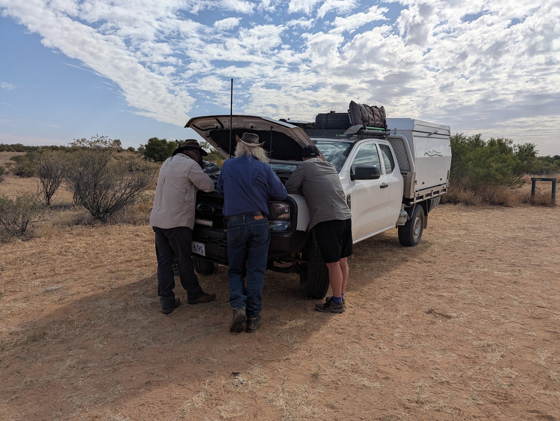
- Broken fuel line
- Turbo hose reconnection
- Broken brake line to rear wheel
- Inability to engage/disengage 4WD
- 1 tyre puncture
- 1 tyre sidewall tear, which required removal of a tyre from a rim and fitting of a spare tyre carcase
- Broken rear ABS sensor
- Oil warning light
- Broken windscreen
- Camper electrical wiring
- Camper water hose leaks
Thanks
Thank you to those who joined us for our trip into the outback. We loved having your company and hope you enjoyed it as much as we did. We also hope it has inspired you to adventure further and discover more of Australia.
Tom and Ann