
Trip: 28 Mar – 6 Apr 2025
PARTICIPANTS:
- Chris Hopkin and Hope Tancinco (Hilux with Tailgate) – trip leaders
- Bob and Margaret Anderson (Isuzu with Tailgate)
- Tom and Ann de Jongh (Triton with Tailgate)
- Dolph and Leanne Page (Ranger with Tailgate)
- Dave and Ann Darke (Prado with Emu camper trailer)
- Belinda Robinson and Brian Summers (Ranger with Intrepid camper)
Friday, 28 March 2025
It was a drizzly evening as the group gathered at Morisset Showground to camp overnight. A pub meal at the Lake Macquarie hotel, ‘The Morrie’, kept our spirits high. We had the pleasure of meeting Pauline, Chris’ sister, who joined us for dinner. The drizzle turned to heavy rain overnight.
Saturday, 29 March 2025
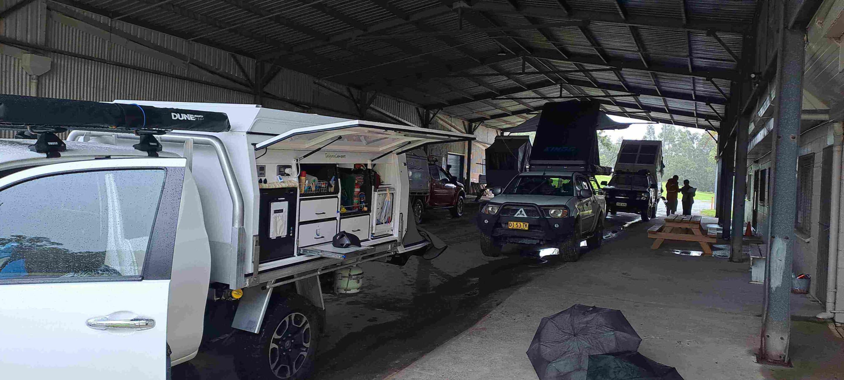
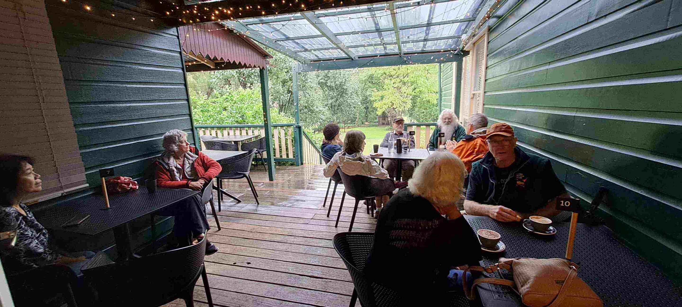
The Morisset Showground has an undercover drive-through pavilion which provided the perfect spot for a sheltered breakfast before our trip towards Wollombi. Unfortunately the weather stopped us driving via Watagans NP and Watagans Creek Road. Instead we headed via Cooranbong, Freemans Waterhole and Millfield. The Wollobmi Kitchen provided us with hot drinks and food as we watched the rain continue to fall. Wollombi was established as the administrative centre of the district in the 1830s and sandstone buildings and timber slab constructed cottages from the convict and colonial eras can be seen throughout the town. The Op Shop was a treasure trove of junk and the Aboriginal Art Gallery impressive.

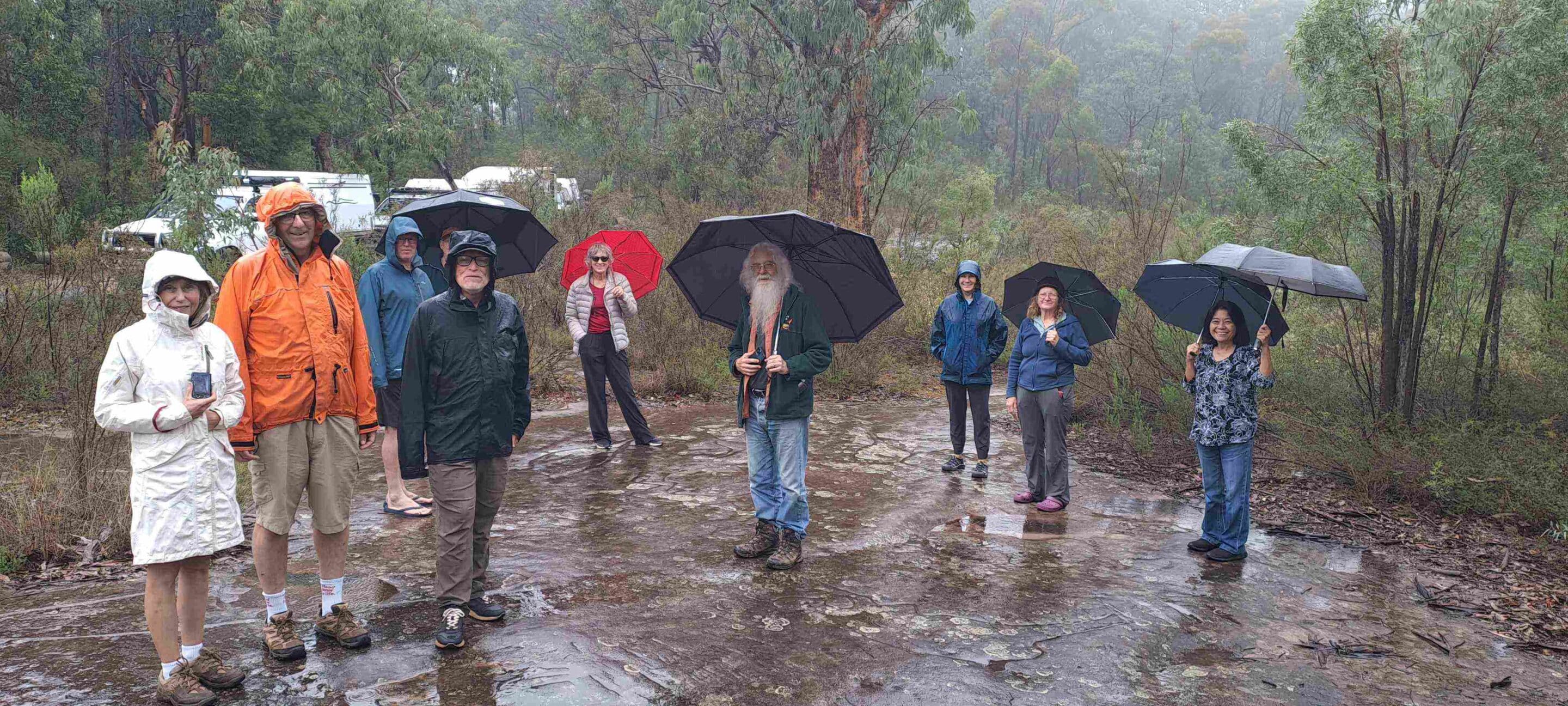
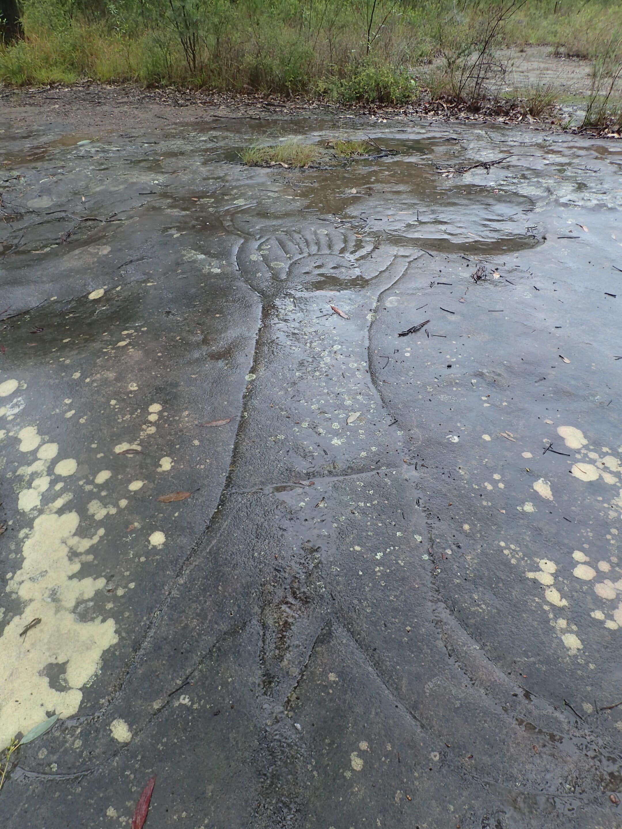
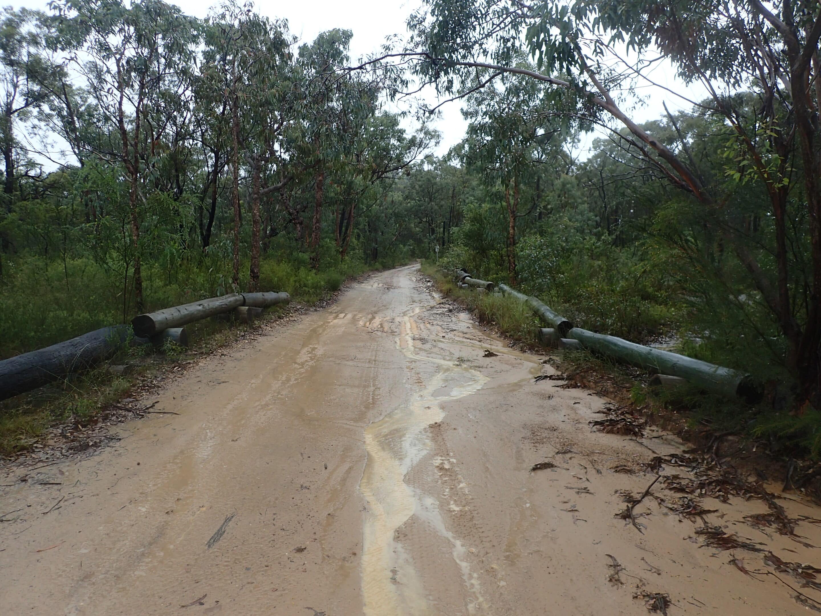
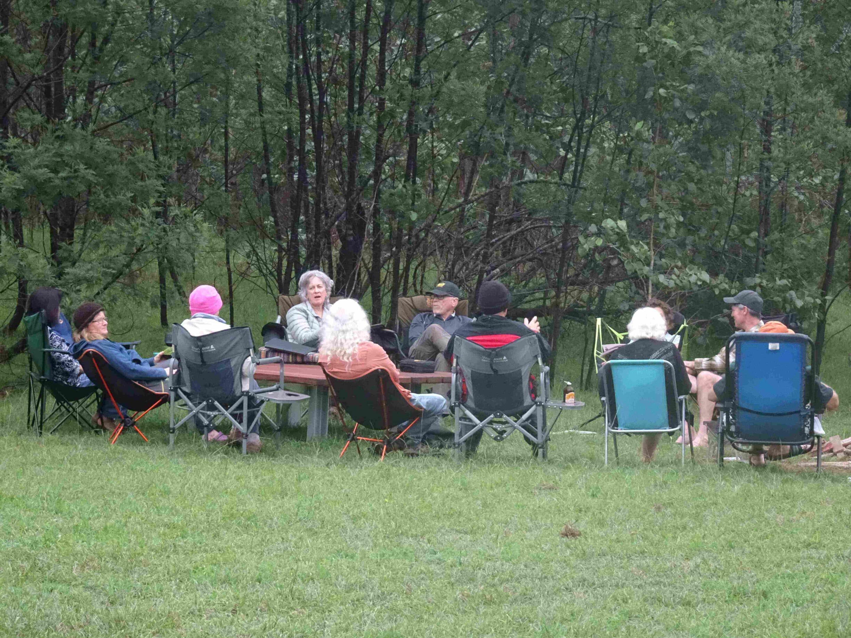
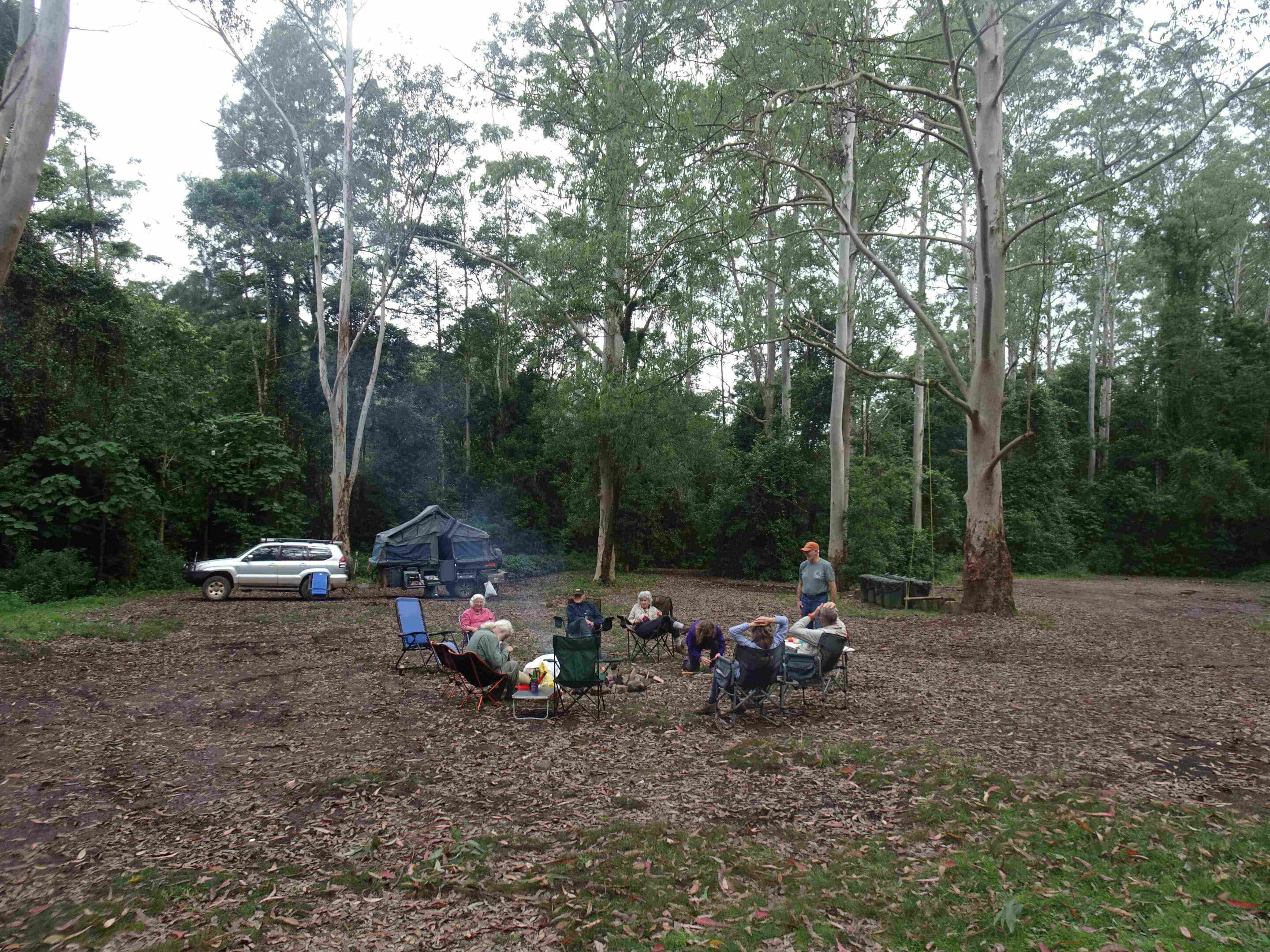
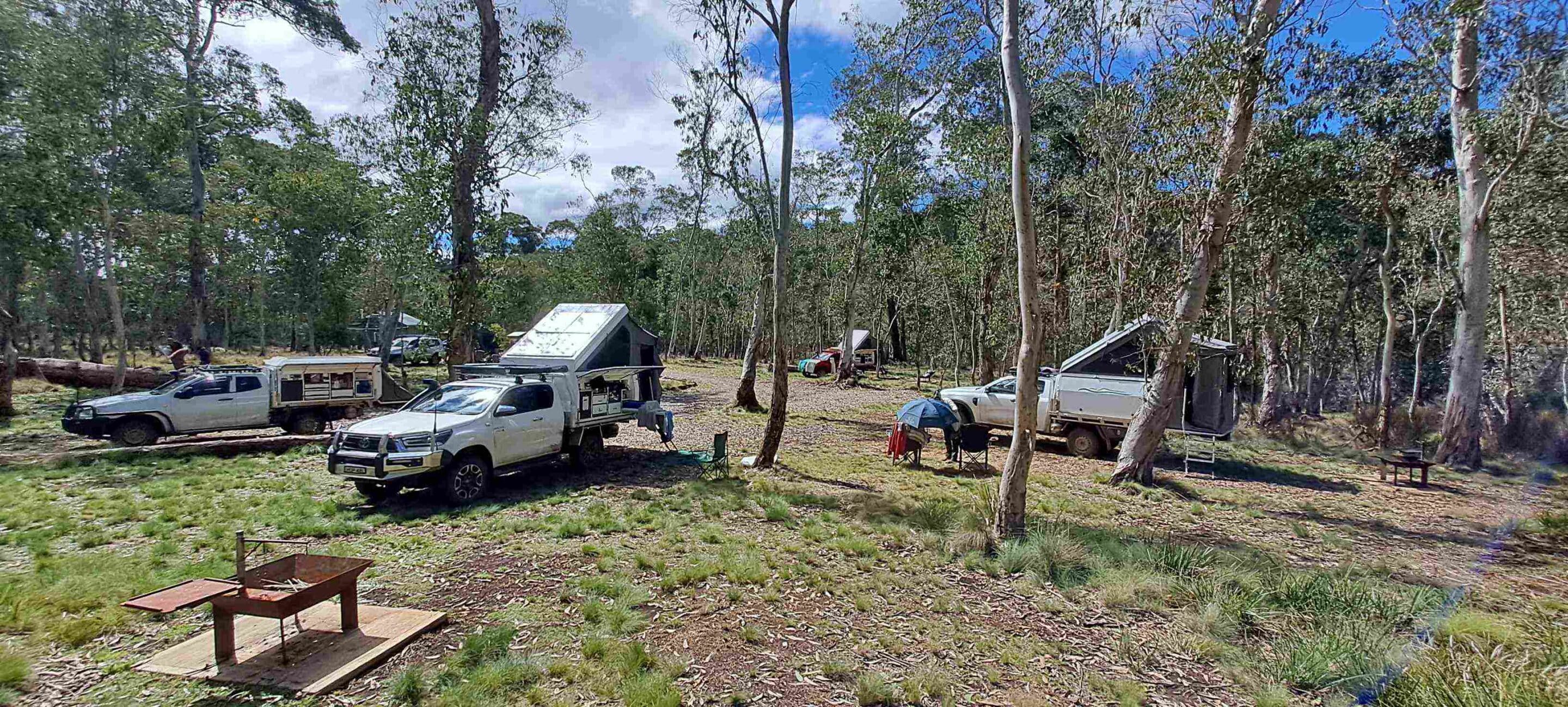
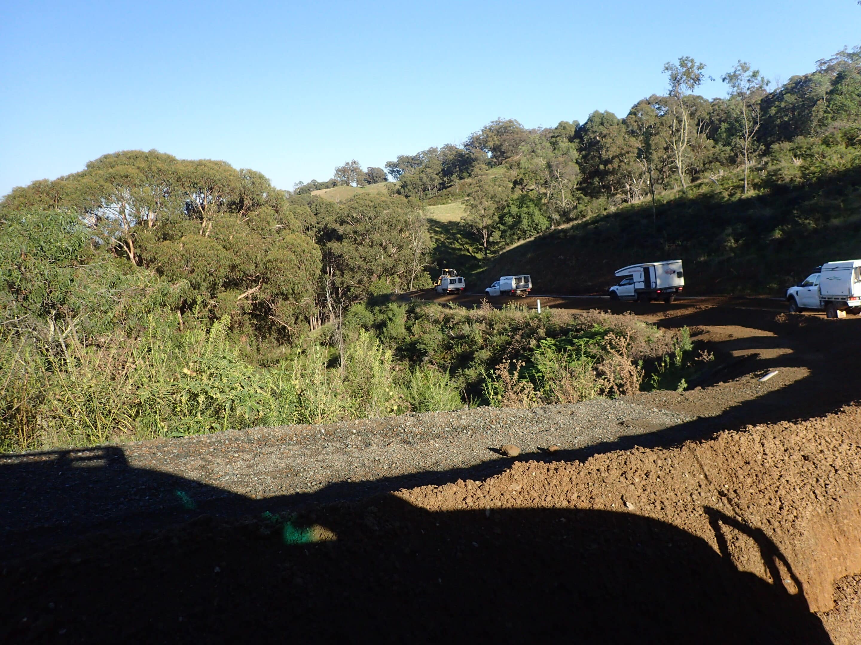
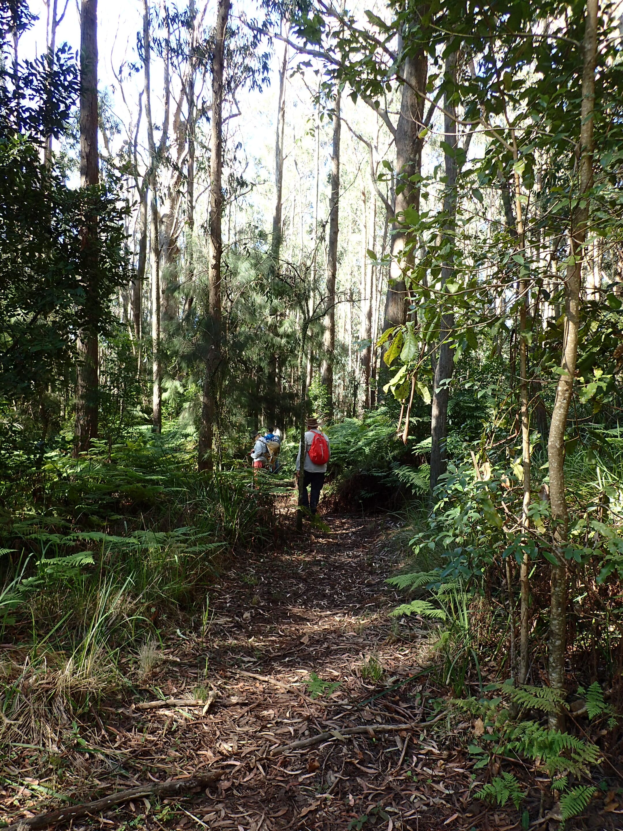
The rain did not stop us though, as we headed to Yengo NP via Yango Creek Road and the Finchley Track. First stop was at the Finchley cultural site. This short easy walk features many Aboriginal rock engravings (petroglyphs) on a large rock platform. We then continued our drive via the Yango Track to the Big Yango precinct, descending down into the valley through a locked gate. Accommodation is available at Big Yango homestead but there were no such luxuries for us as we continued to Blue Gums campsite. The rain disappeared as we settled in for a clear night. The campground is a large grassy area surrounded by blue gums, with toilets, fire pits and beautiful wooden tables. The group gathered for our first campfire dinner.
Sunday 30 March 2025
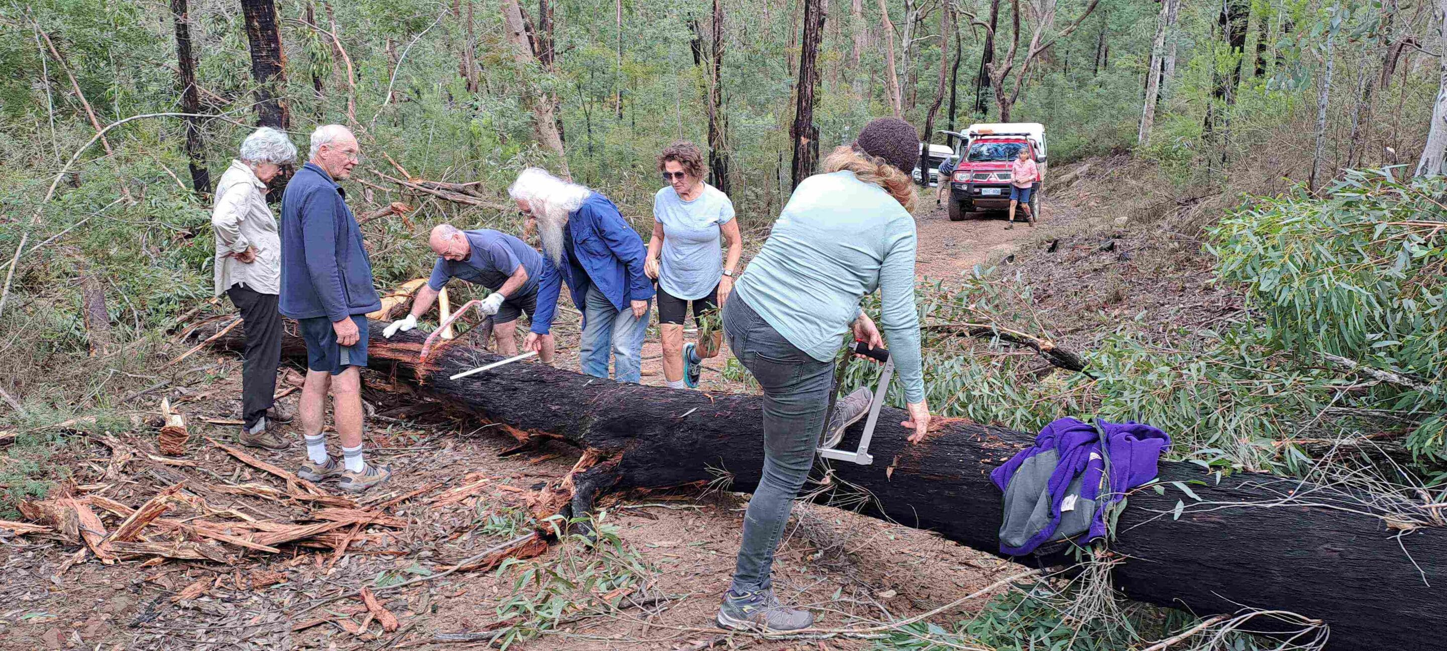
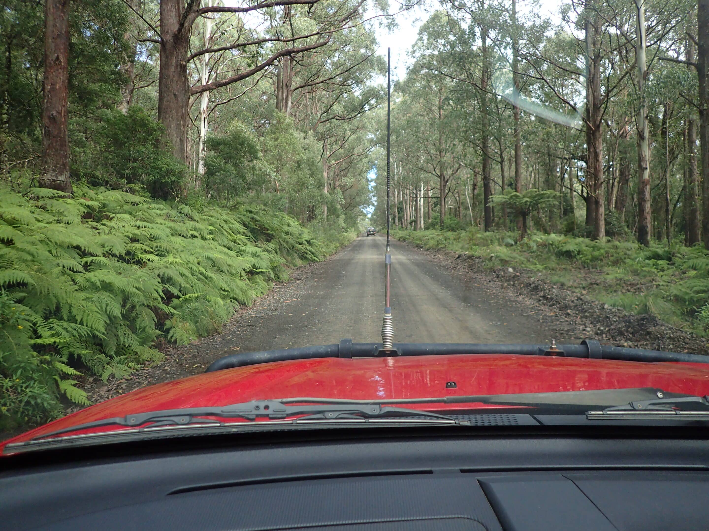
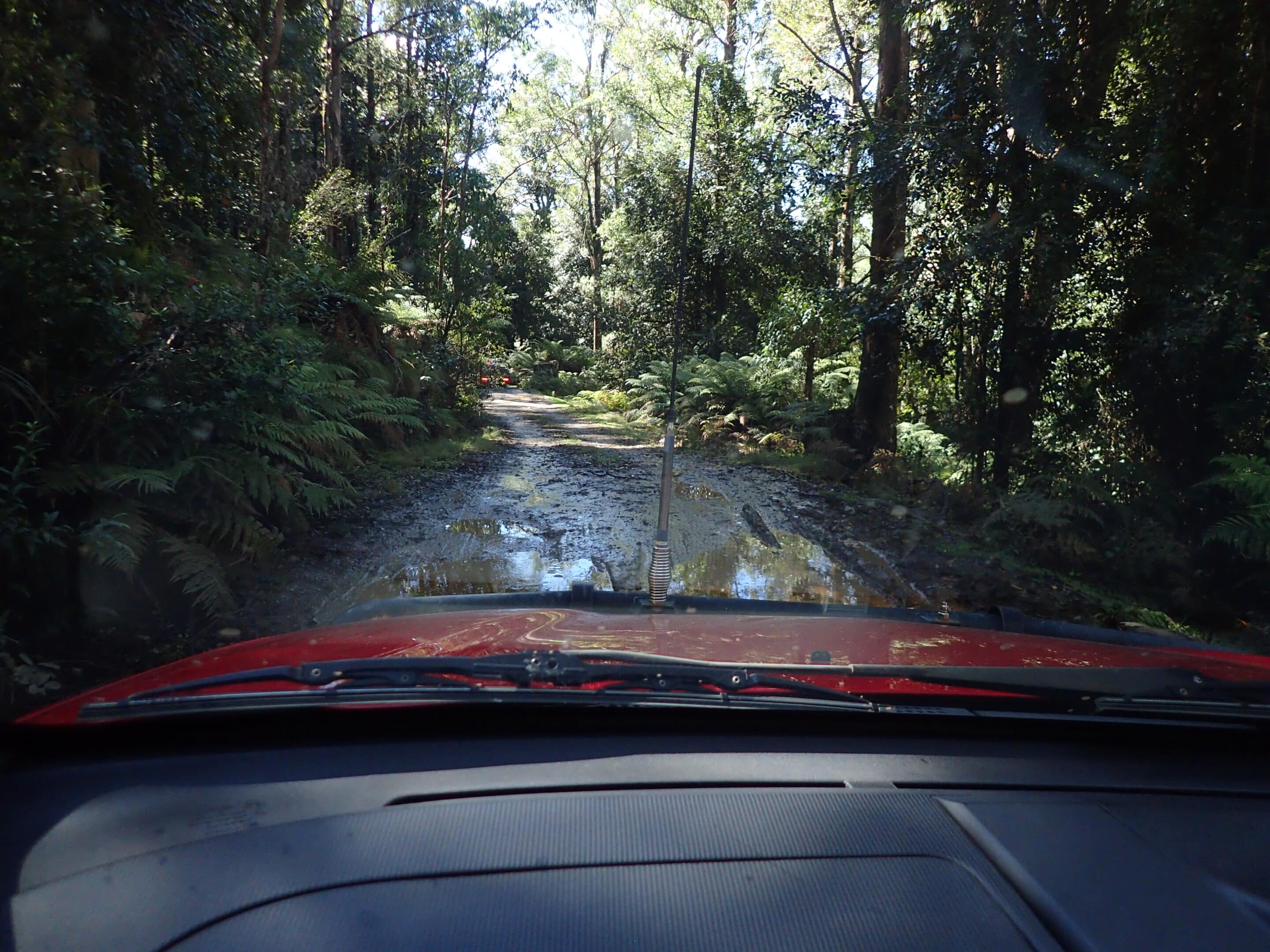
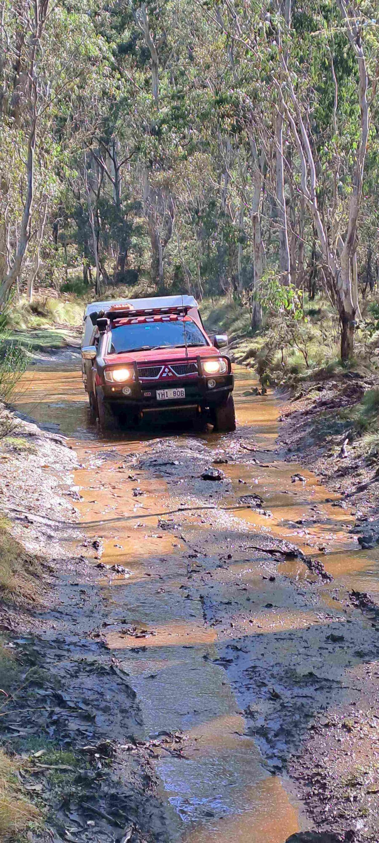
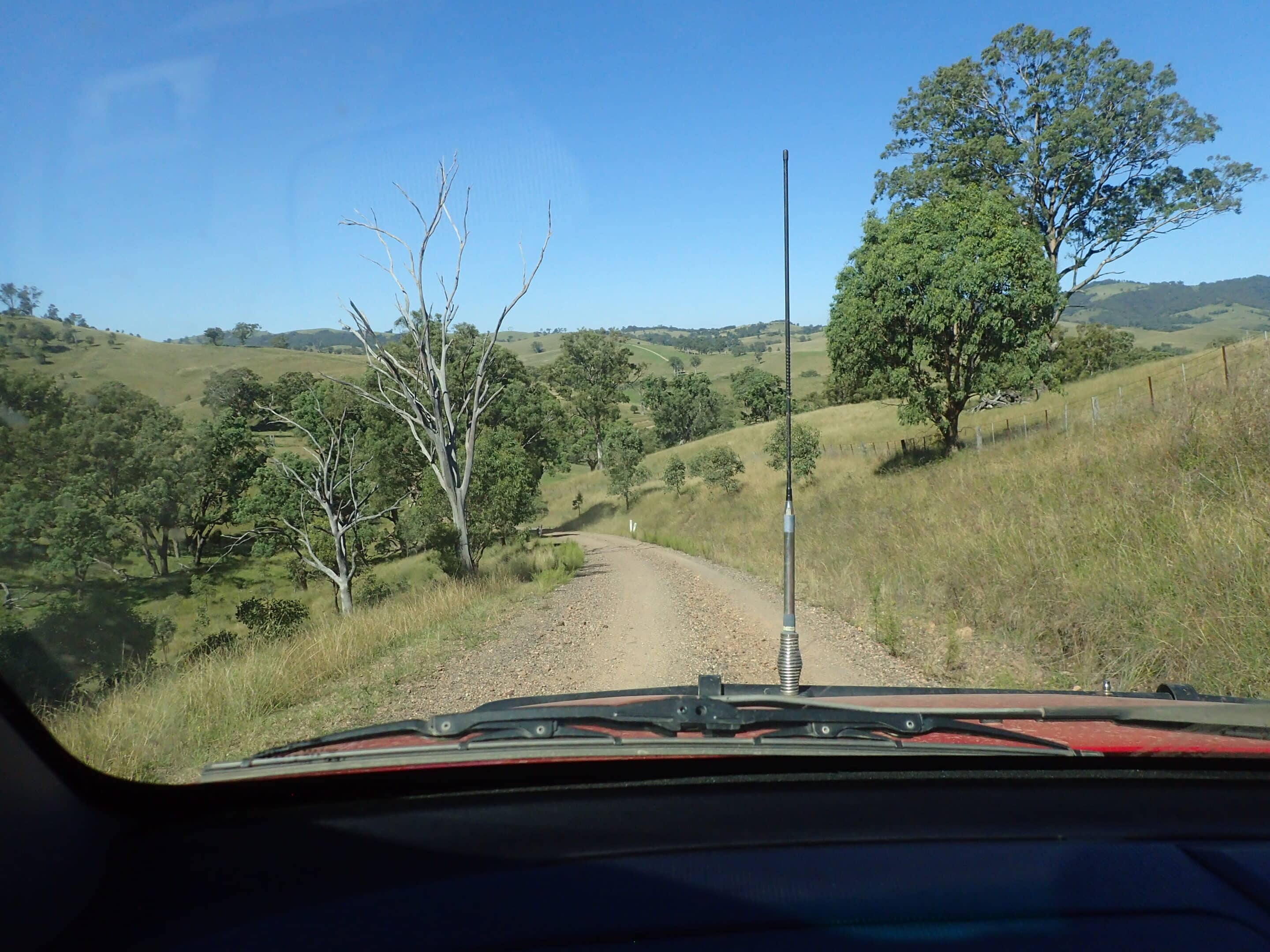
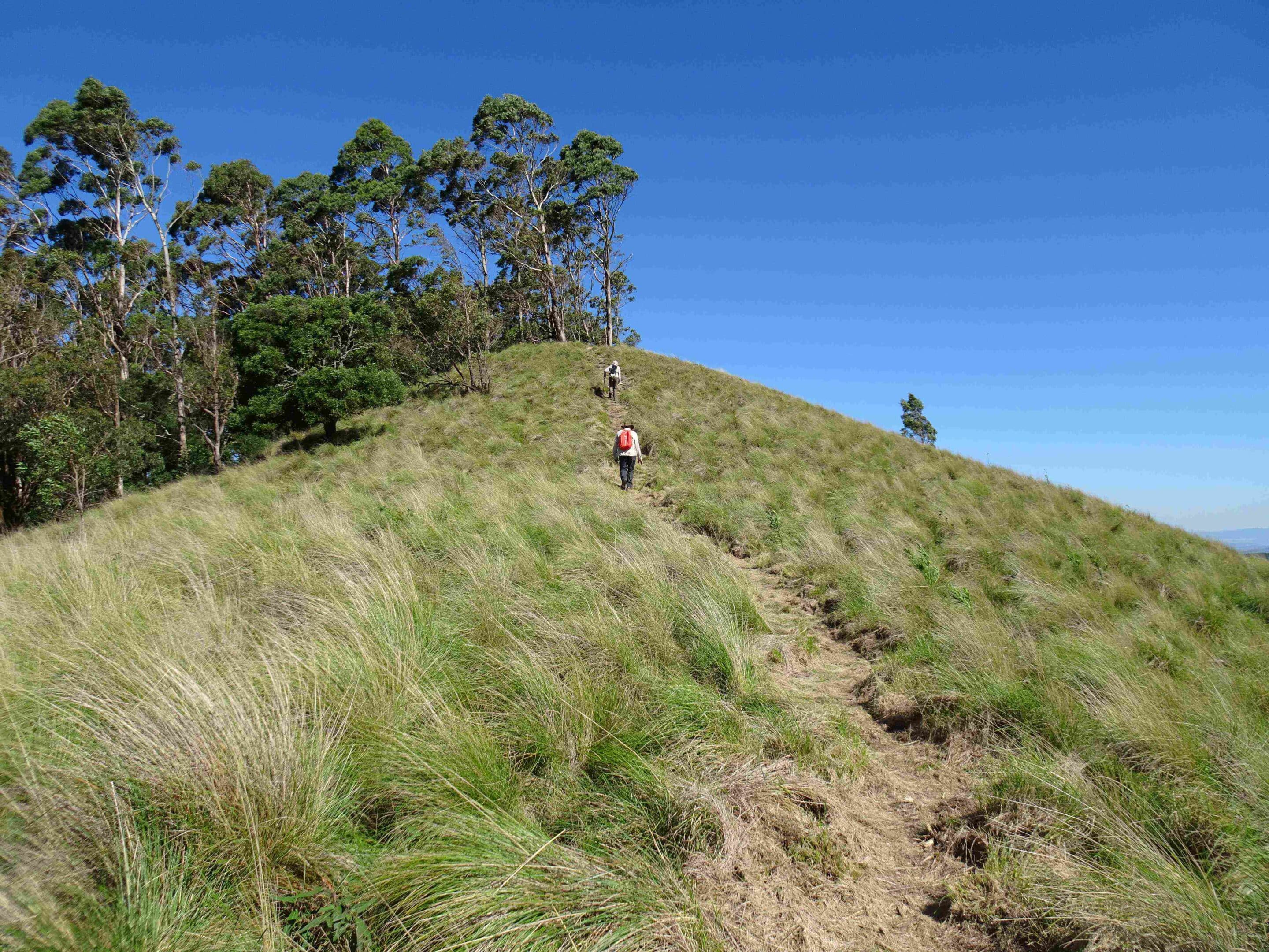
It was an 08:00 start as the convoy left to drive the Big Yango loop trail and undertake the Mt Yango walk. The 22km trail tested drivers with steep climbs, descents, some tight switchbacks and washouts but the views were spectacular. Access to the walk was restricted and required a long walk to the track start, so we opted out and continued our drive. Approximately 2km west of Mountain Arm campground we were stopped in our tracks by a fallen tree. After an hour of sawing and chopping we managed to get around the obstacle, returning to collect the trailer and have lunch in the homestead precinct. Exiting via the locked gate we headed west on Howes Trail. The drive was wet and rough but once again we enjoyed some spectacular views. Howes Trail also proved a little challenging with sand, loose gravel and rocks, exposed bedrock, erosion ruts, steep inclines and descents, mud and bogs, sharp turns, water crossings, four closed gates and the possibility of oncoming traffic. The trail deteriorated as we exited the NP and traveled the remaining 5km through private property. It was back on the bitumen at the Putty Road where we headed to Bulga for a coffee break and then on to Stockton Caravan Park for our next two nights camp. The challenging long drives meant that a visit to the Australian Army Infantry Museum and some wineries disappointingly did not happen.
Unfortunately Hope had work commitments and left the group that afternoon. It was dinner out for Italian or Chinese depending on your preference. It was a windy night with showers.
Monday 31 March 2025
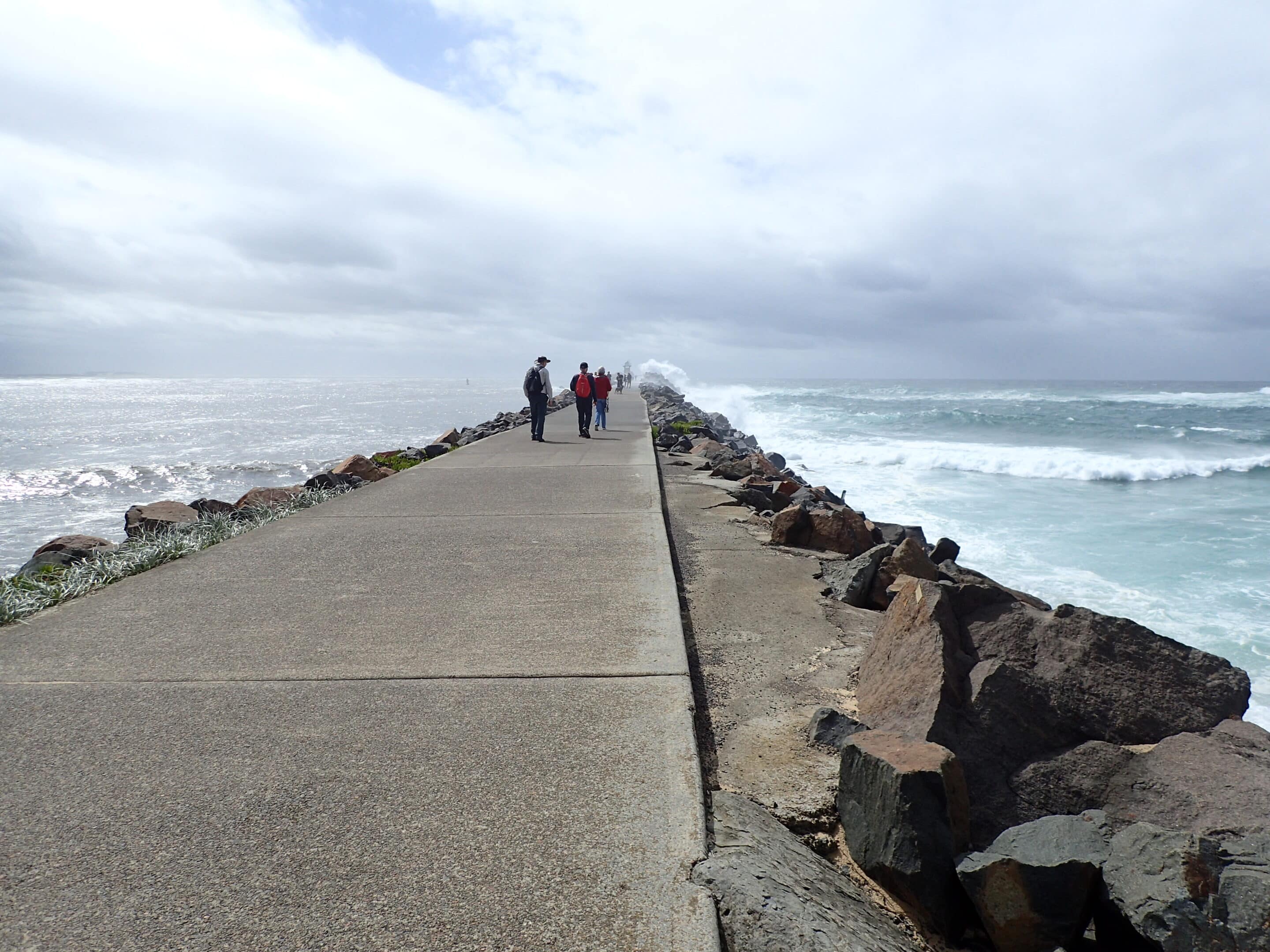
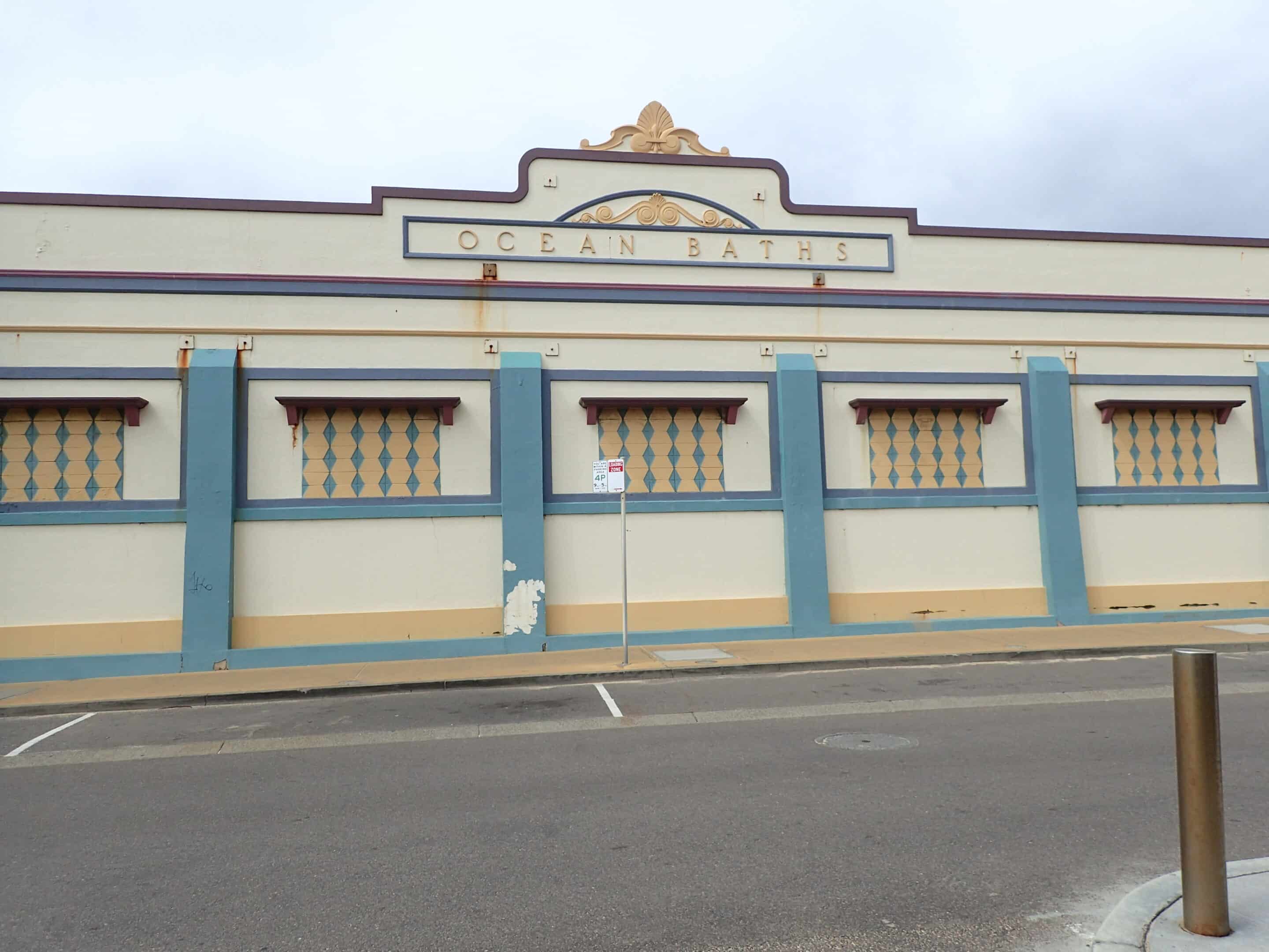
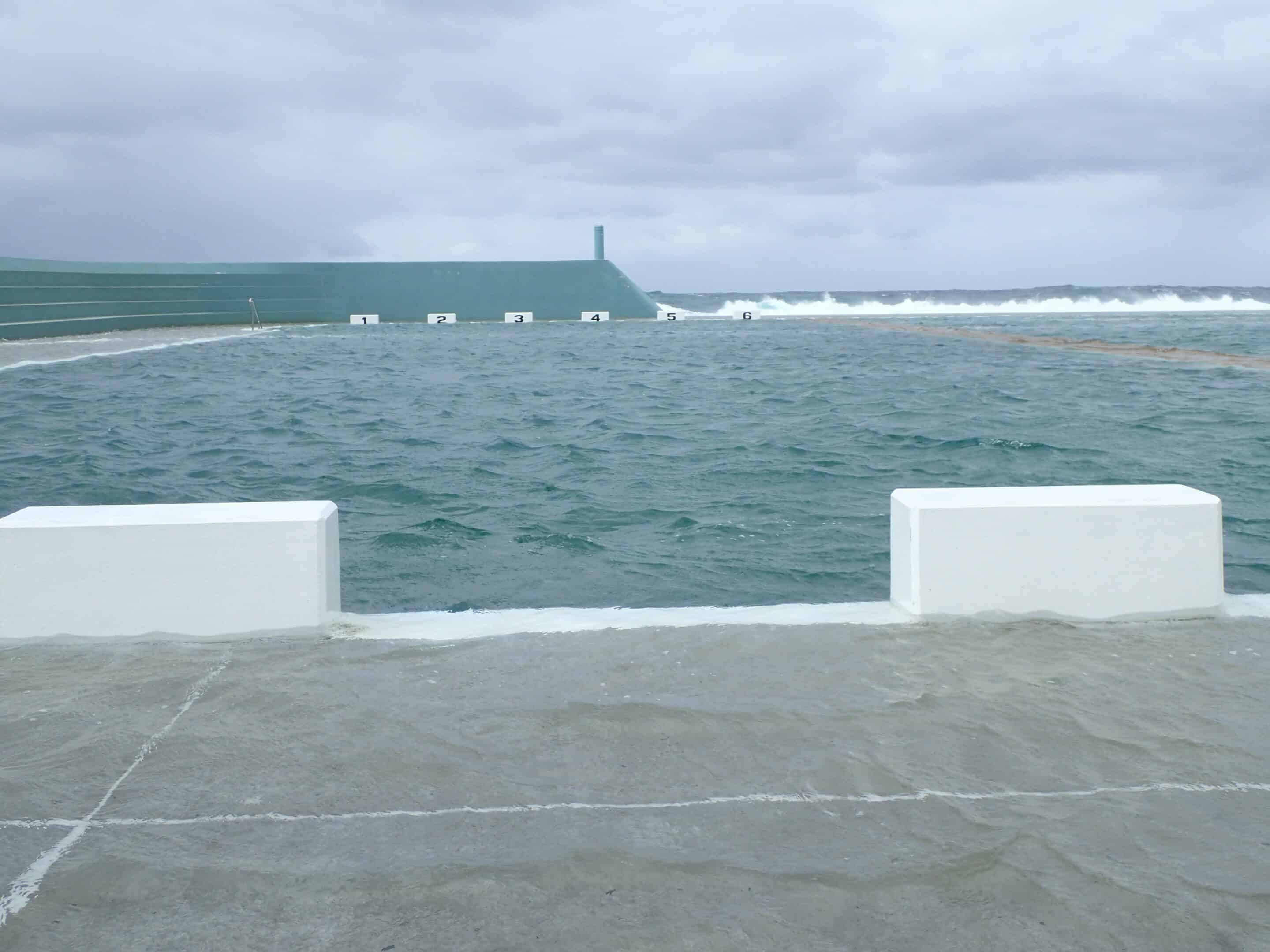
It was a free day to enjoy the wind and rain as you chose. Some headed into the city via the Stockton Ferry for a walk to Nobby’s lighthouse and break-wall, then along the coastal walk to the Bogey Hole and Newcastle baths including a fish and chip lunch. Others headed north to Nelson Bay, Anna Bay and Murray’s Brewery. Leanne and Belinda were so taken by Newcastle baths they returned for an afternoon swim. The group reconvened at the camp kitchen for dinner.

Tuesday 1 April 2025
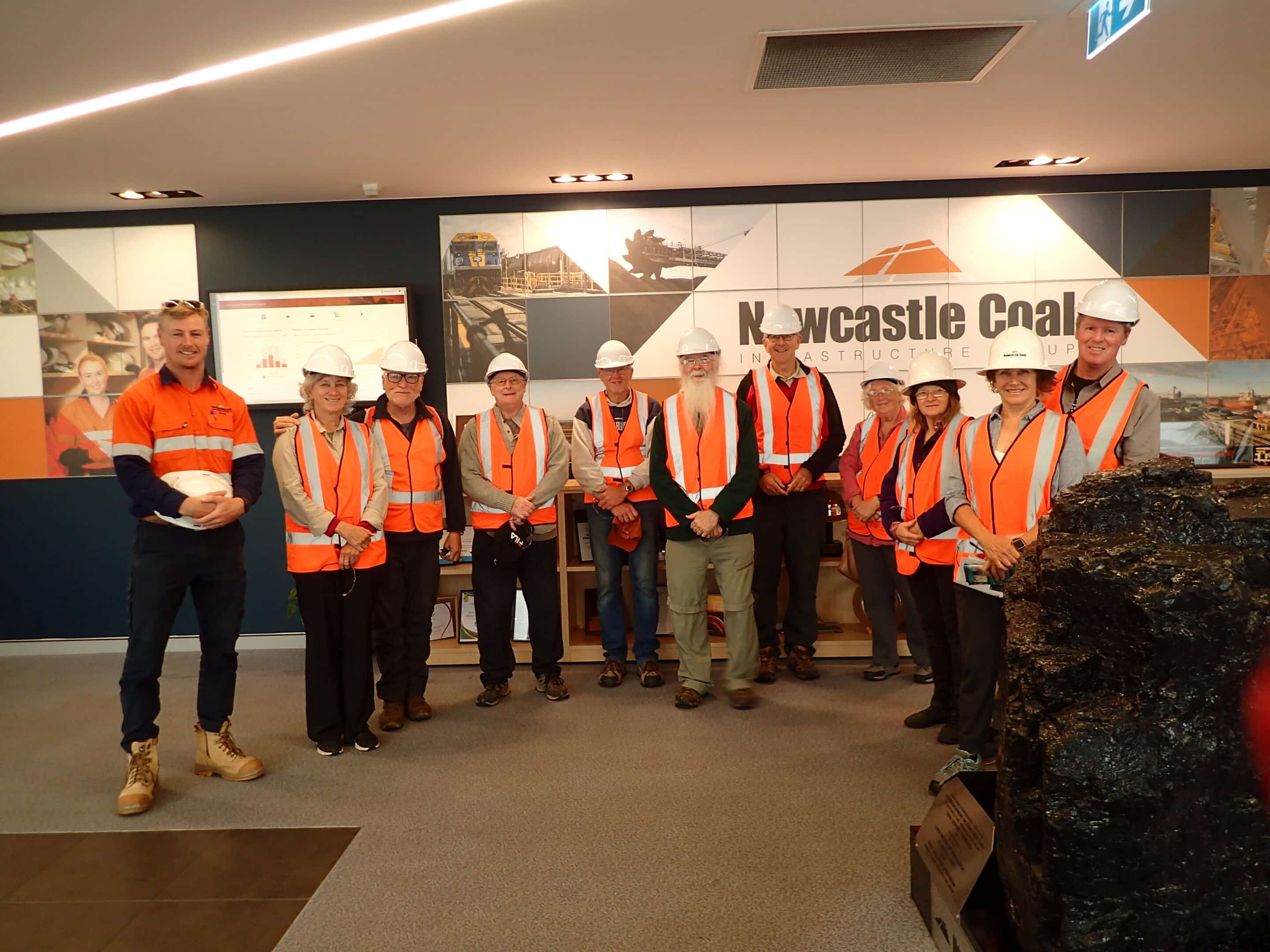
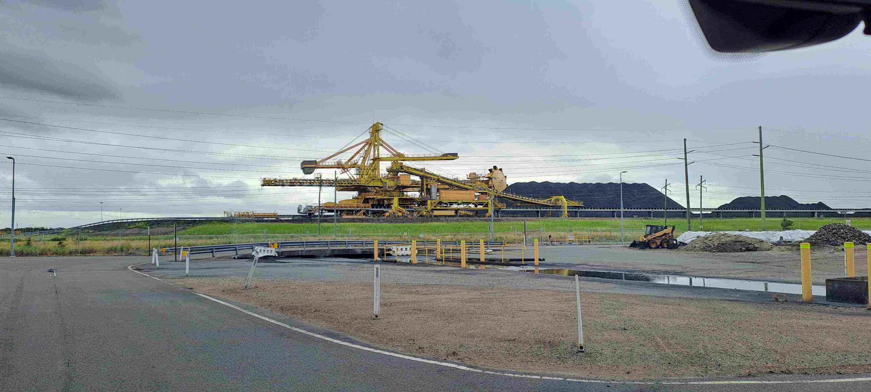
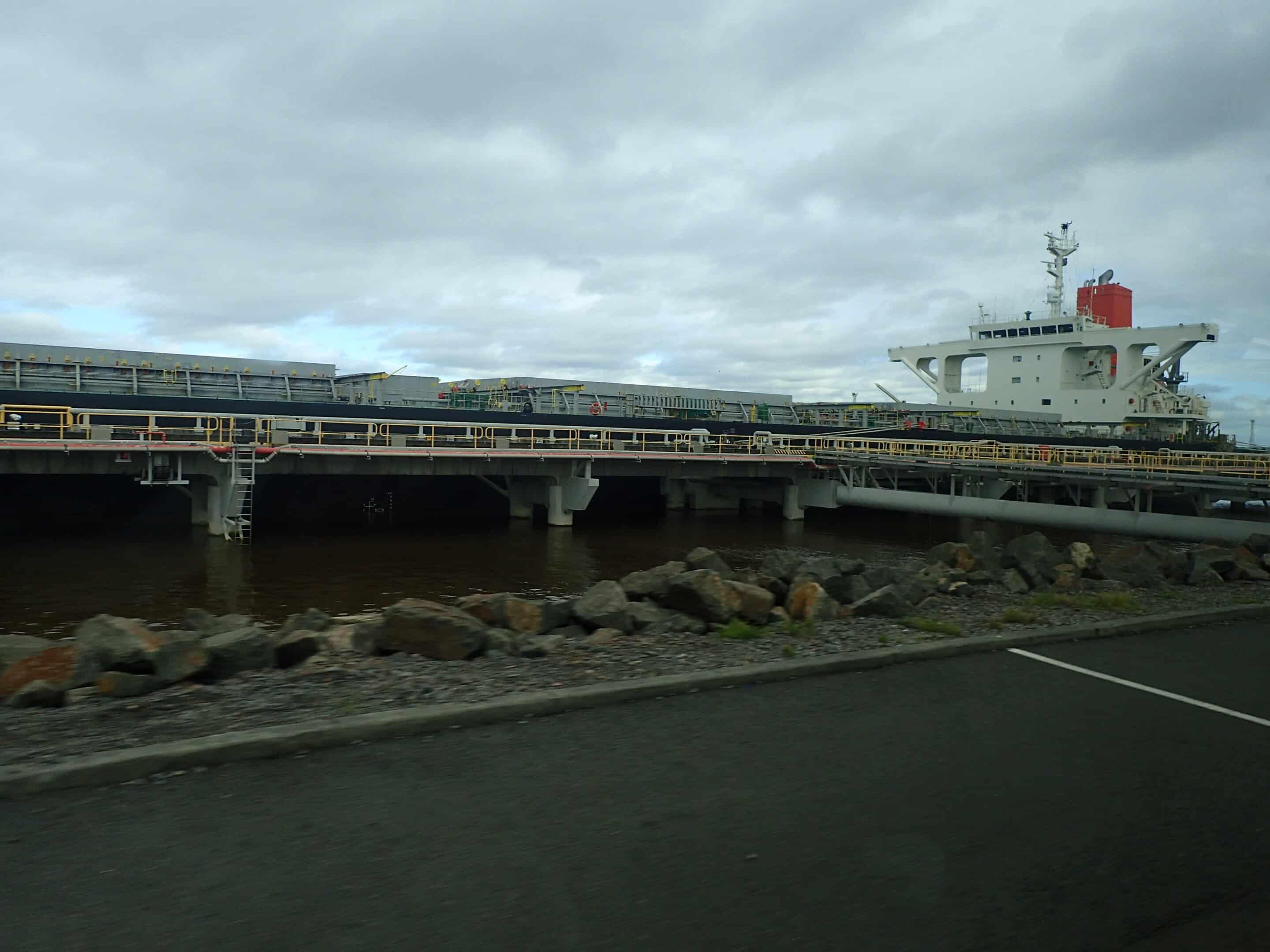
The day started early with a tour of the Newcastle Coal Infrastructure Group (NCIG) facilities. The NCIG export facility provides services for NSW coal producers including rail, unloading facilities, coal storage, coal sampling, and three shipping berths for coal loading. NCIG undertake environmental projects such as re-establishment of the threatened Green and Golden Bell Frog and re-establishing the migratory shorebird habitat in the area. NCIG also sponsor community support programs.
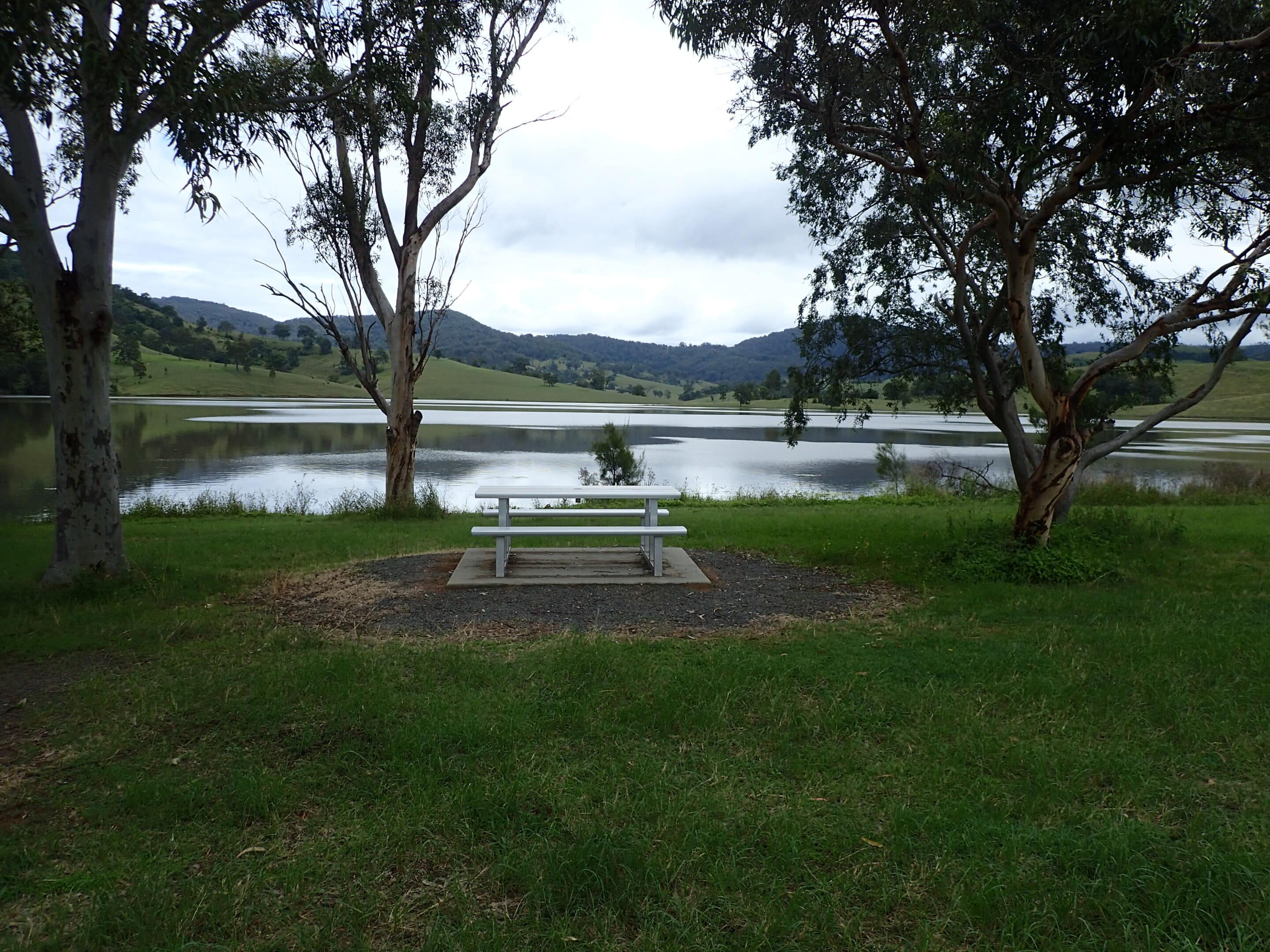
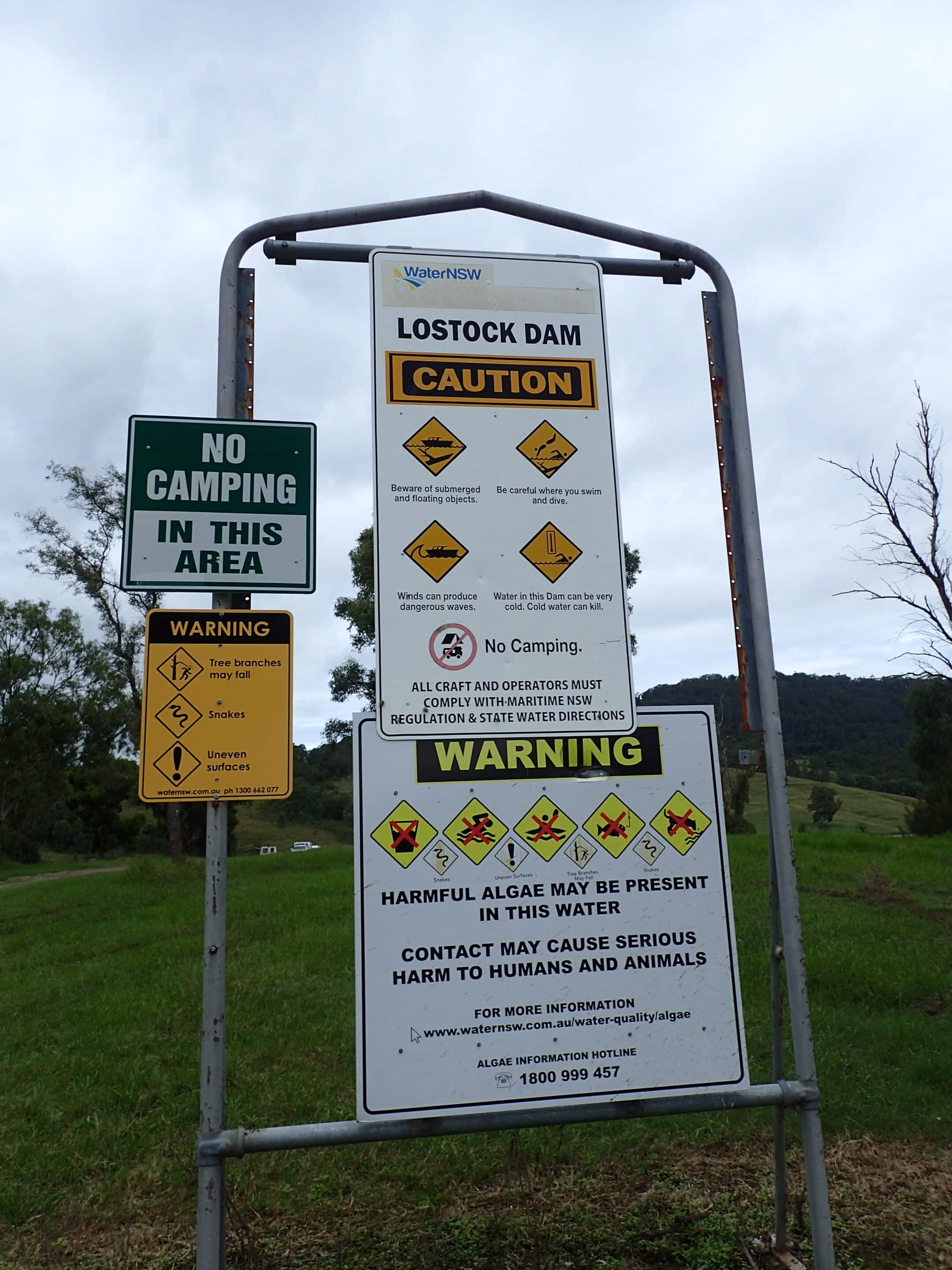
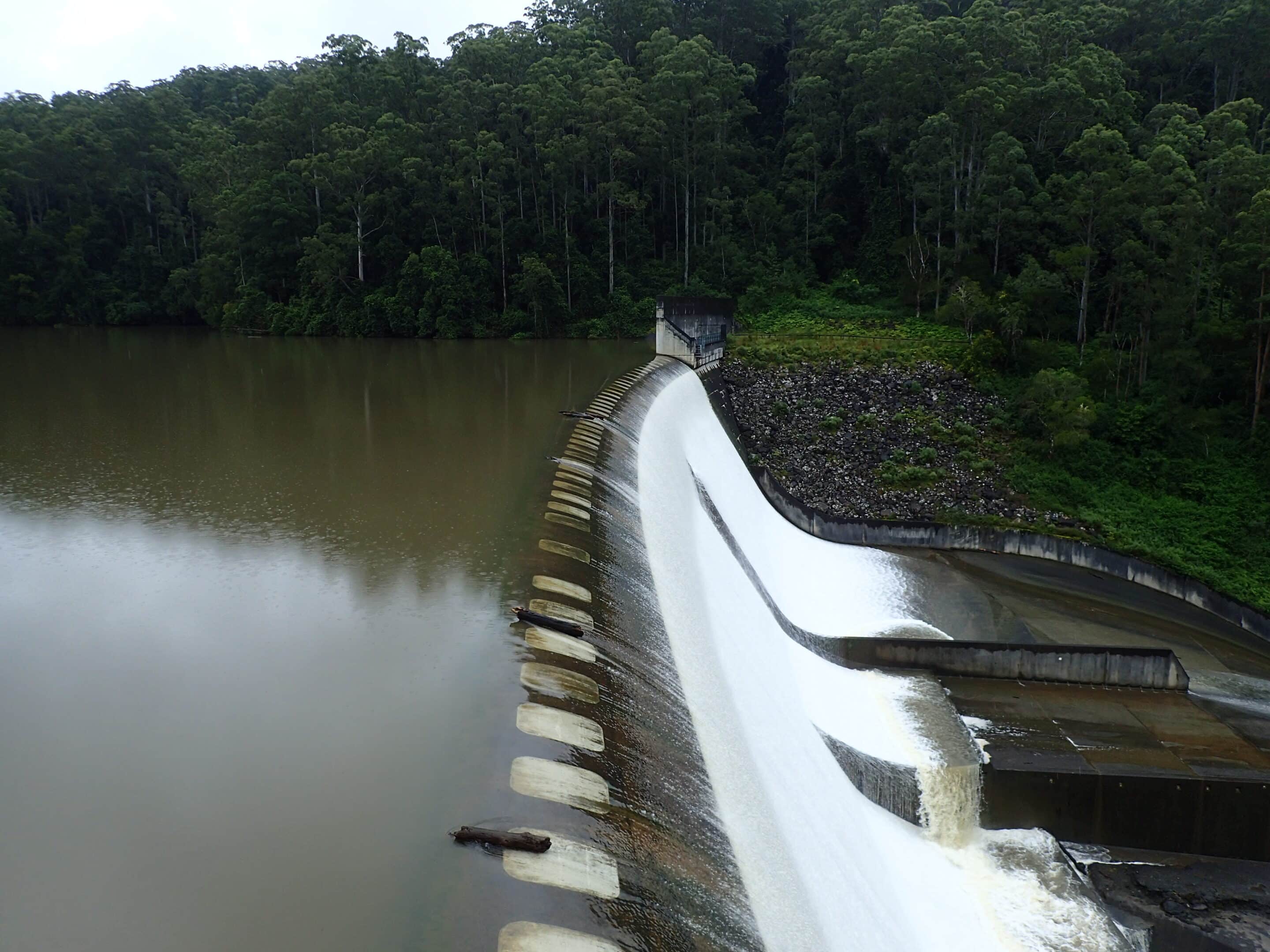
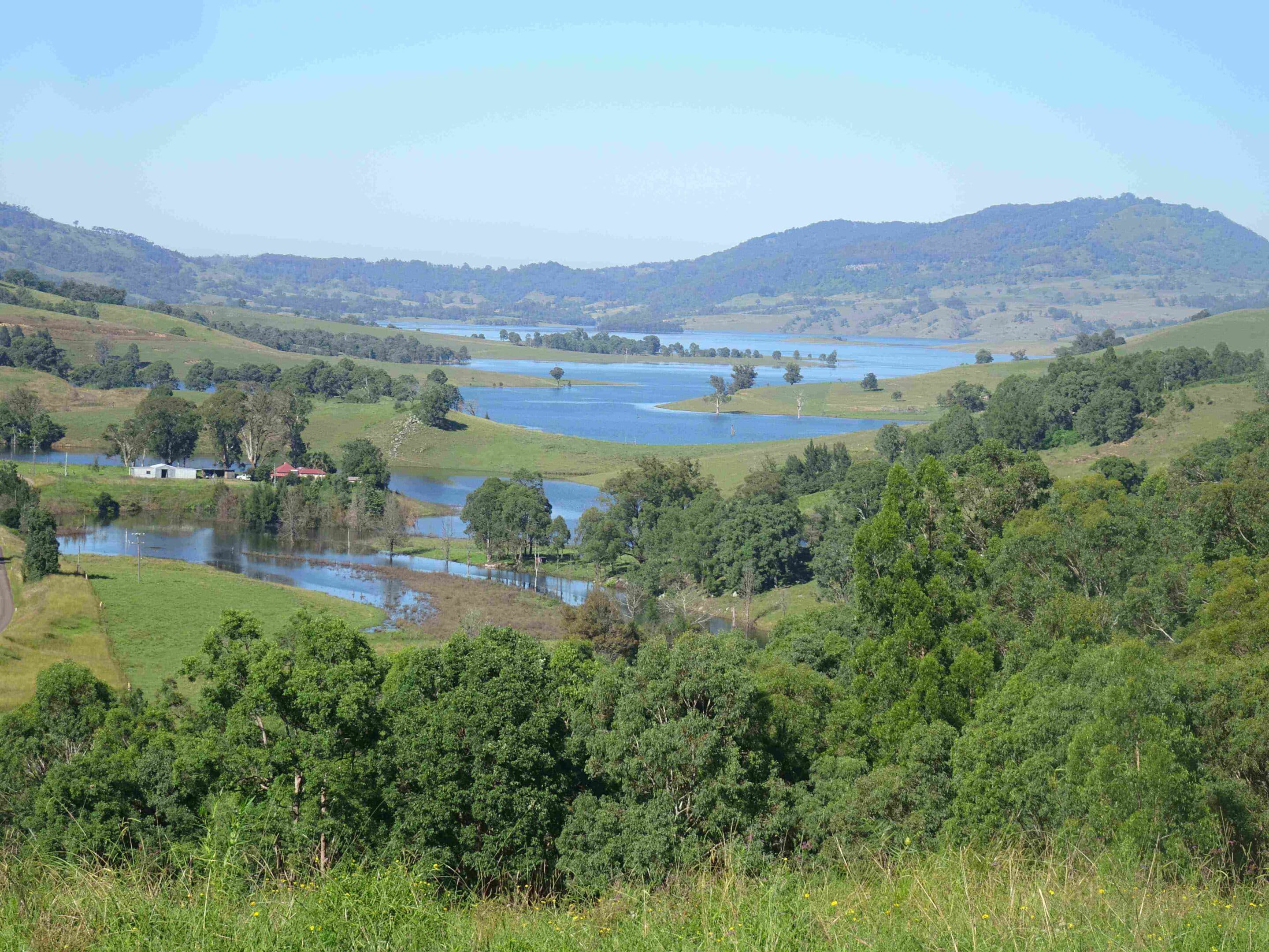
We exited Stockton via Williamtown, Grahamstown dam, Raymond Terrace and Seaham with a lunch stop in Paterson. Light rain followed us through the valley to East Gresford and Lostock Dam, on the Paterson River. We drove across the 38m high and 701m long wall to a lake-wide picnic area. The dam is a popular recreational area, although all the warnings at the entry made you wonder why. The dam supplies water for the irrigation, environmental flows, stock, industry and household needs in the Paterson Valley.
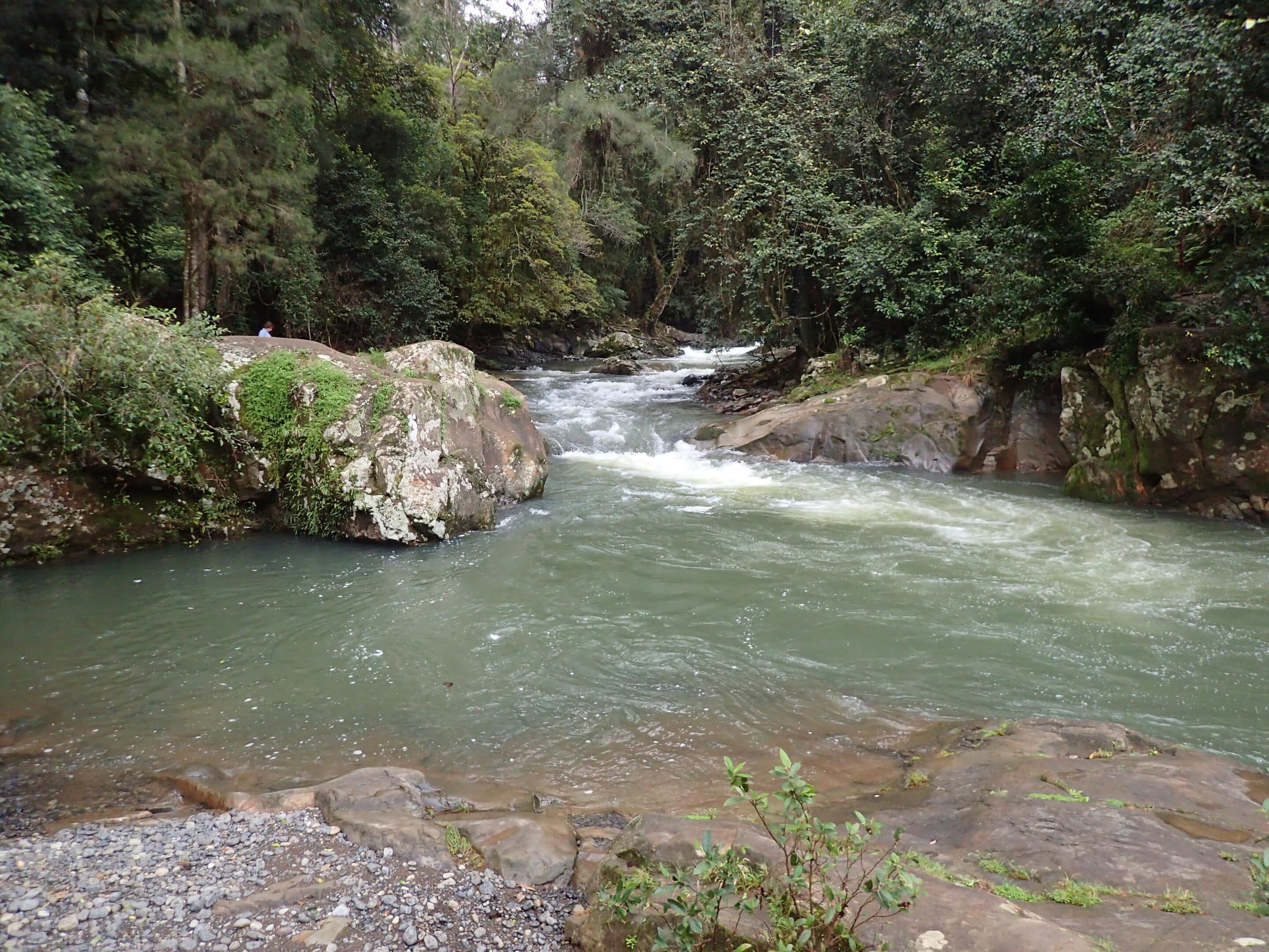
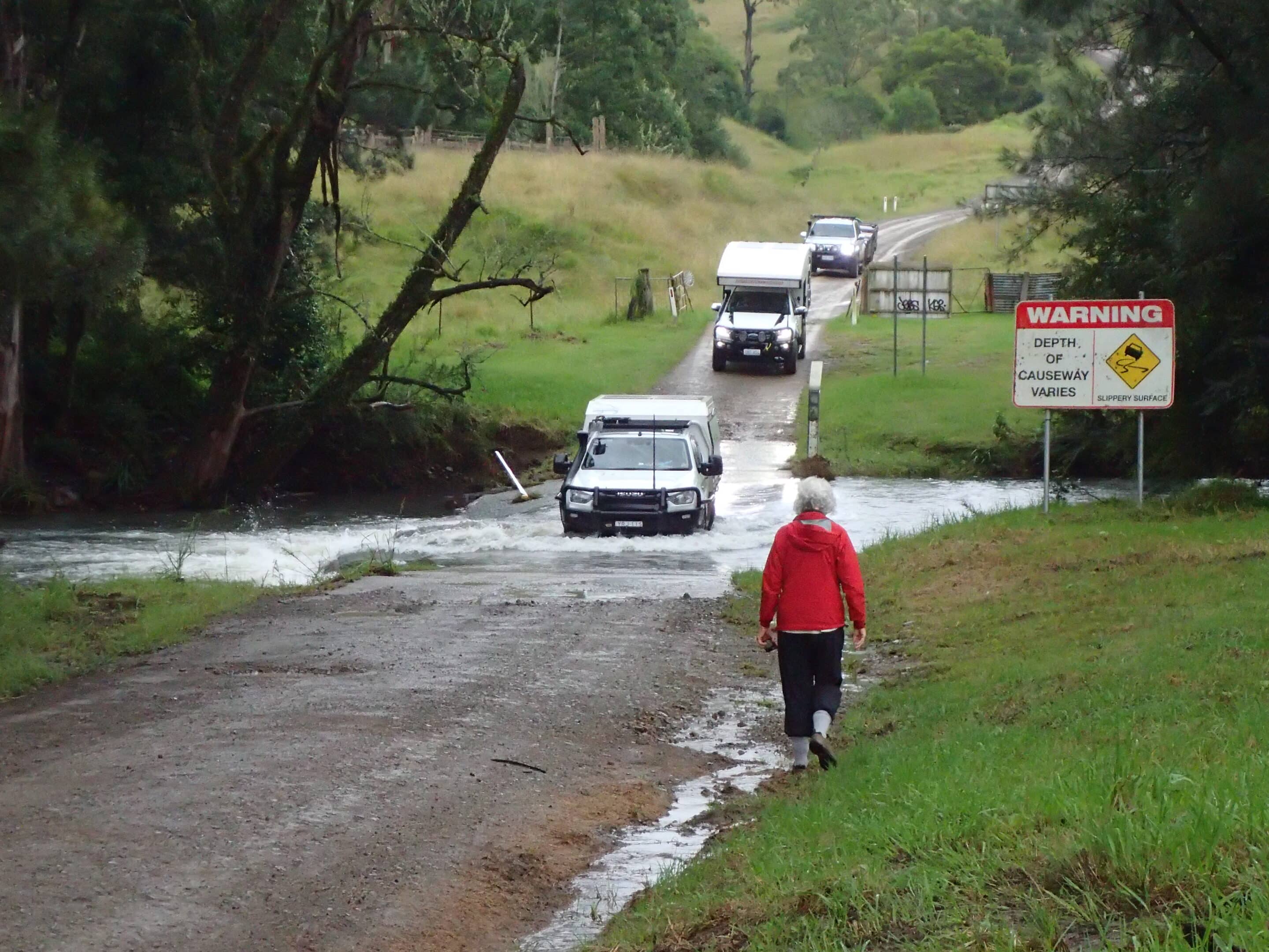
The drive along Boonabilla Road, James Road and Allyn River Road to our camp in the Chichester state forest in the lower Barrington Tops was very pretty with rolling farmland and forest. There were three causeways to navigate with the final causeway the deepest. There are warnings that these may become impassable during periods of heavy rain. Boot Hill is quite a sight but Ladies Well was so much better. This would be a perfect swimming hole in the summer months. The recent rain meant the water was flowing quickly.
The road up to Mount Allyn has been closed due to flooding in 2024 so there were no views to be seen from here even if the clouds did disperse.
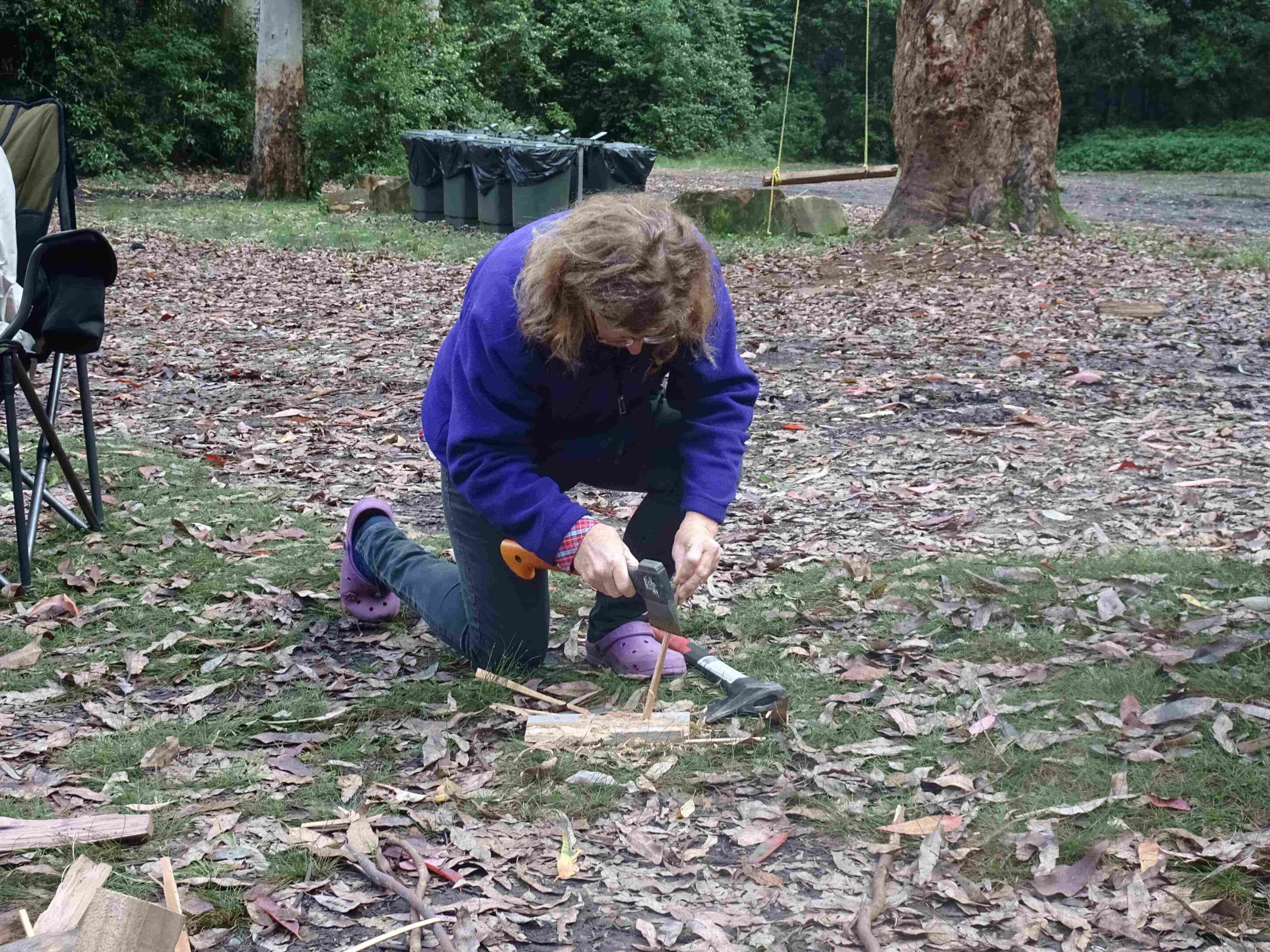
Camp was set up at Dobbie Rim as it wasn’t as ‘wet’ as some campsites. Majestic trees, hanging vines and mossy rocks surrounded the campground. But not everything was pleasant with giant stinging trees and leeches also in the bush. The rain held off while we enjoyed our evening campfire and Margaret demonstrated her bush craft whittling, but steady rain continued overnight. The rain did curtail the drinking and noise of one, non-LRC, camping neighbour.
Wednesday 2 April 2025
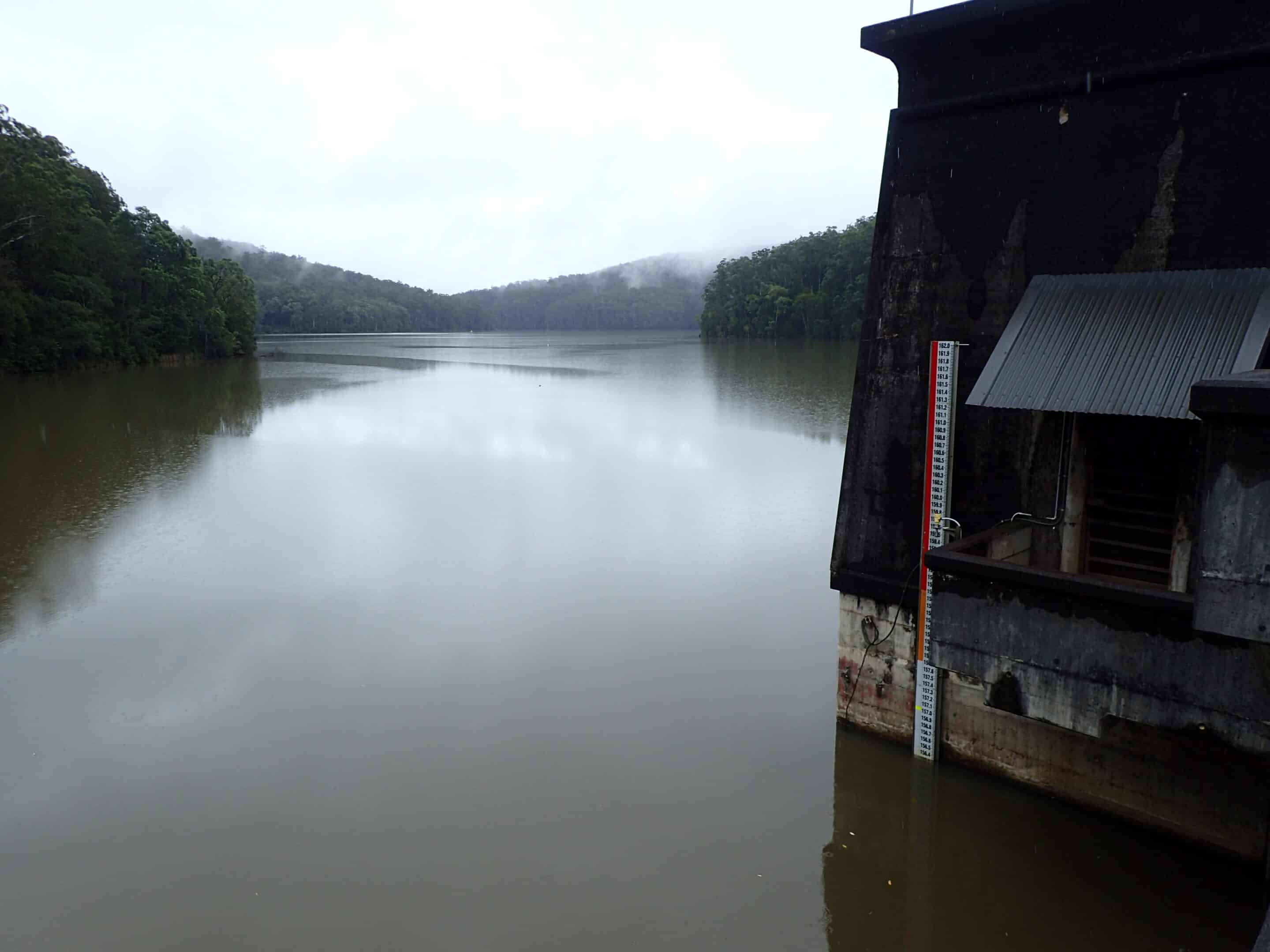
A recce was undertaken to ensure we could cross the creek at St Helena River Retreat. Thankfully it had not changed since our entry at 200mm depth. We reach Chichester Dam via Salisbury Gap Road. Chichester Dam was constructed between 1915 and 1926 as the first dedicated drinking water storage system in the lower Hunter and today supplies approximately 35% of the water supply. The dam wall is 254m long and 43m high and is anchored to the bedrock below the wall by 93 stressed tendons.
Following lunch at the Dungog bakery the group, apart from the Darkes, headed to Gloucester Tops to undertake the Gloucester Falls walk. Once again, the scenery was spectacular but unfortunately after about 23km a deep creek crossing saw three cars turn back. A further two crossings later the remaining cars also turned back at a 350mm deep fast flowing crossing.
Gloucester Caravan Park was the night’s campsite. It was very wet under foot and the light drizzle continued. It was a group dinner at the Roundabout Inn for the $15 schnitzel night. It was a long wait for dinner as schnity night is extremely popular.
Thursday 3 April 2025
An essential stop in Gloucester is the Batter and Dough Patisserie. We stocked up on baked goodies and drove to Barrington River Reserve for an early morning tea. The Drifta store was also worth a wander through. The National Parks office provided us with up to date advice regarding closed roads in the Barrington Tops National Park. Once again our walking plans were thwarted as the Mountain Maid Gold mine picnic area and associated trail was closed.
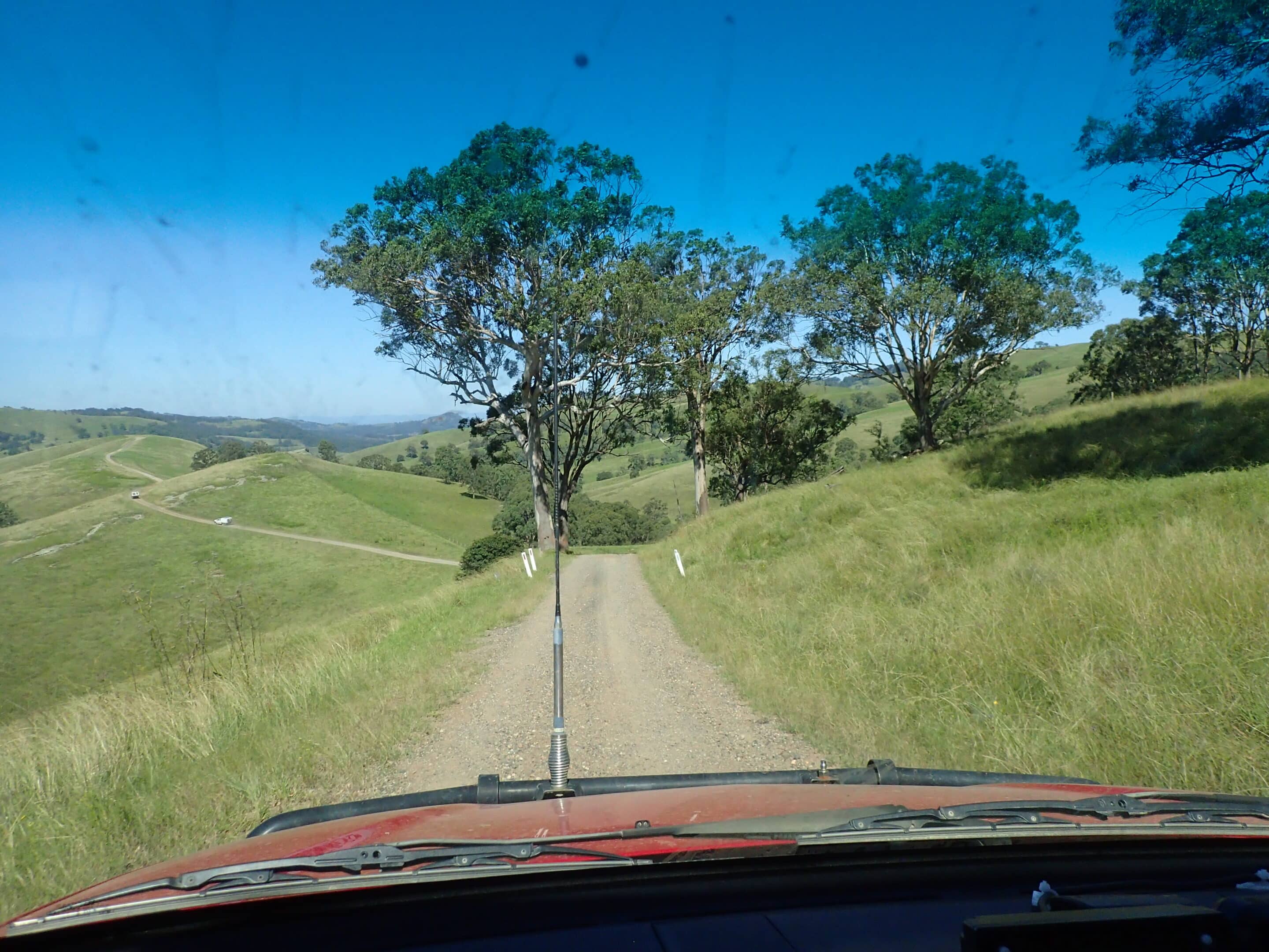
We headed to camp at Gummi Falls via Pheasant Creek Road, Tabrabucca Road and Bullock Brush Trail with a stop at Cobark Lookout. The campsite is approximately halfway between Scone and Gloucester, high in the sub-alpine region, and is at the headwaters of the Manning River which flows to Taree. The access trail into the campground was wet with many potholes. The campsite was surprisingly dry with good toilet facilities. The sun shone and all was good with the world. A short walk to Gummi Falls and the day-use area was undertaken after lunch but the Tuglows Trail walk was closed and gated as the Manning River was high.
We were all thankful for the campfire as the night air was freezing with stars shining. While we didn’t spot a quoll or the rare powerful owl, a possum did visit camp and licked a plate left on the ground clean.
Friday 4 April 2025
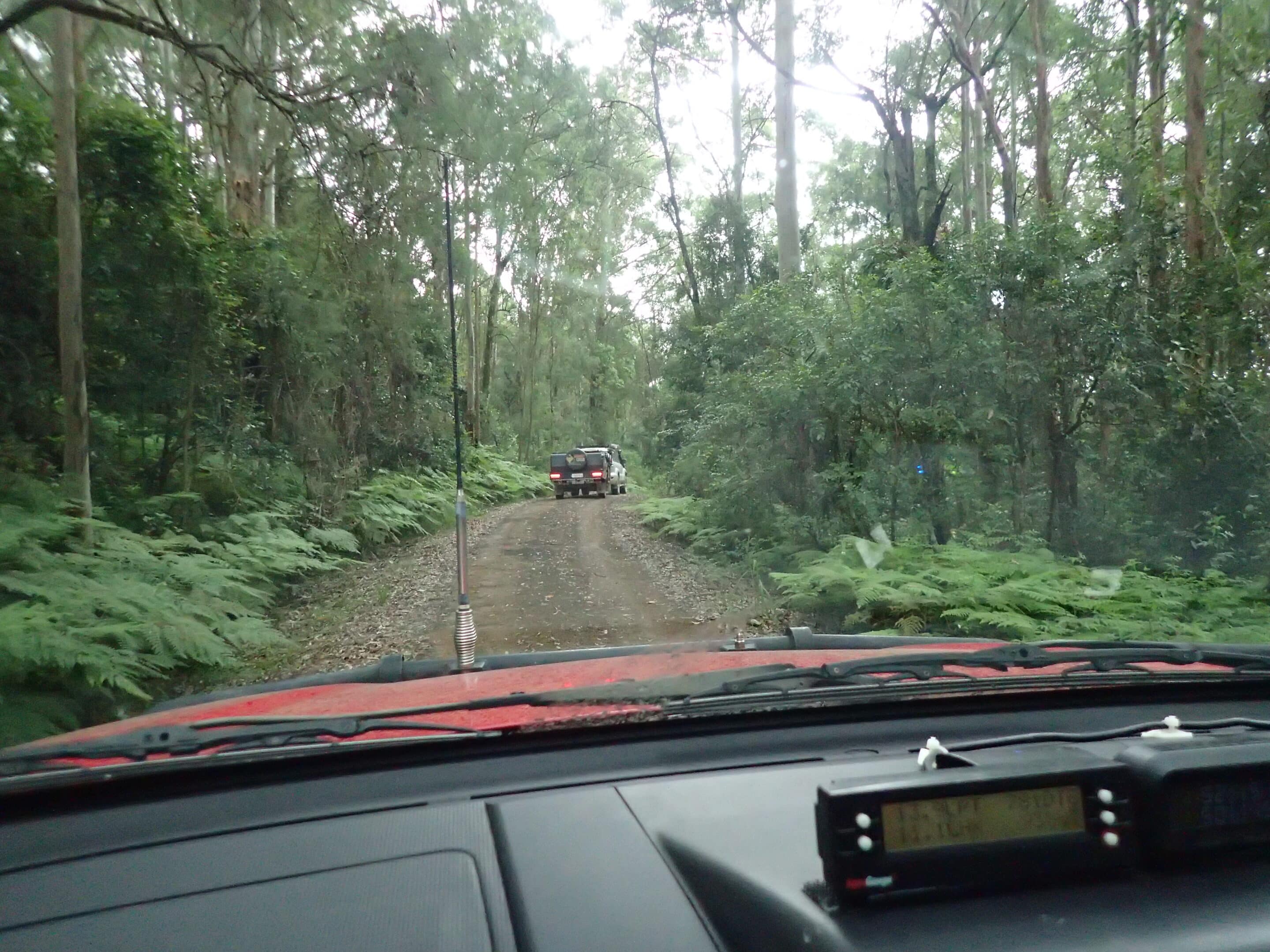
It was a day spent exploring the park. Driving upwards on the Bullock Brush Trail we exited our campsite finding our way to the Barrington Central Trail. Rain had made the trail difficult with many puddles, mud and washouts. One rather deep and muddy crossing stopped Tom and Ann in the their tracks. With a little assistance from Chris they were pulled out. Four vehicles proceeded along the track but two turned back, retracing their journey and driving via the firmer Tabrabucca Road to Polblue. The trail was a challenging but great drive through different forest habitats with spectacular views.
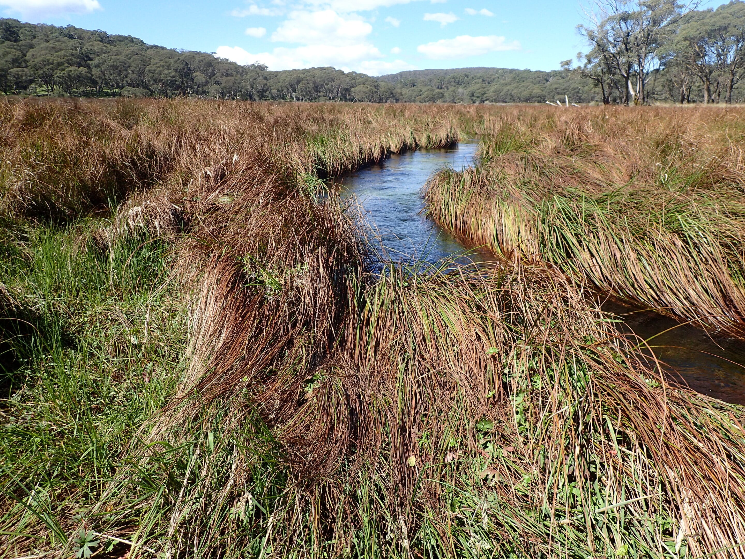
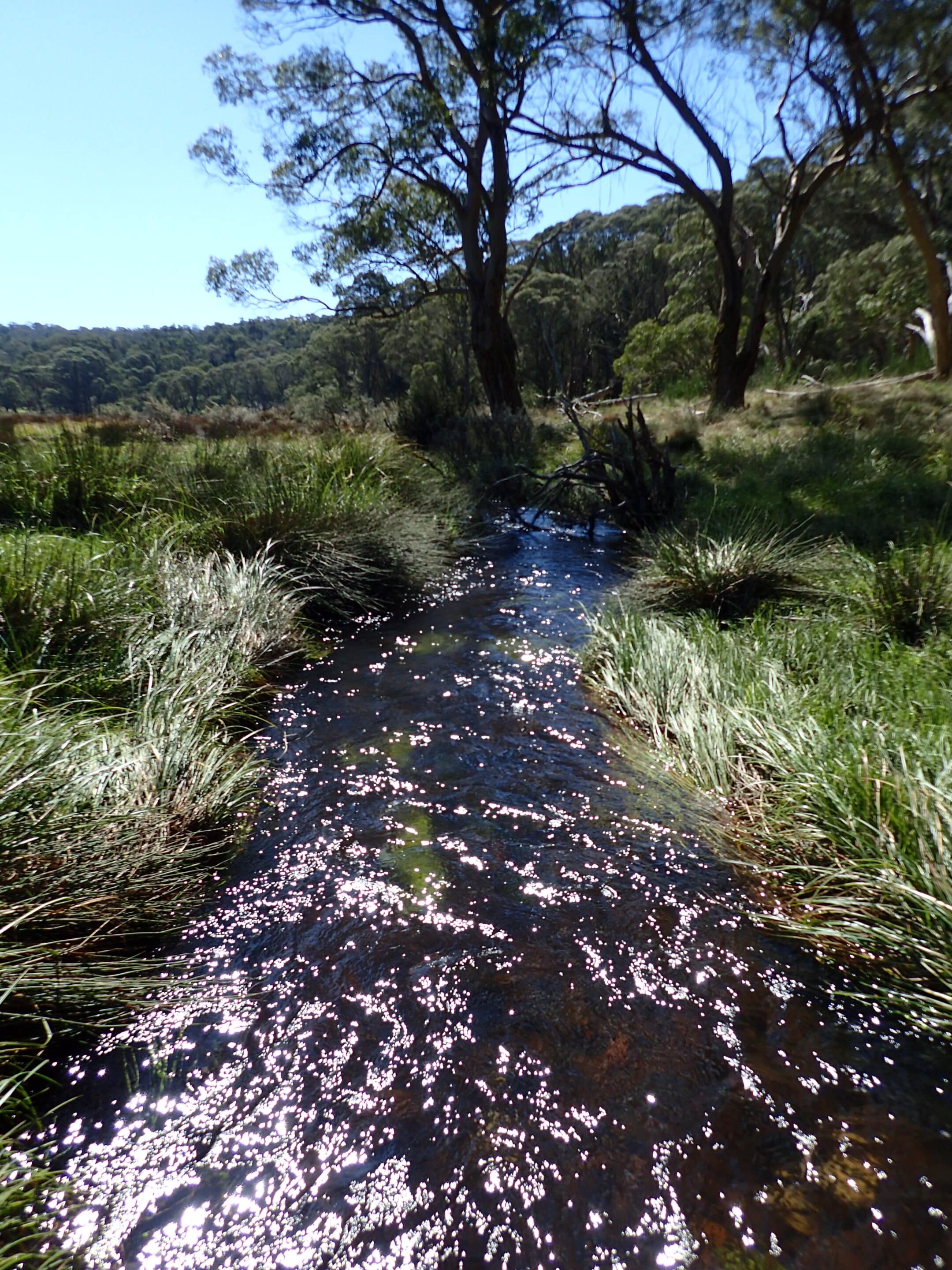
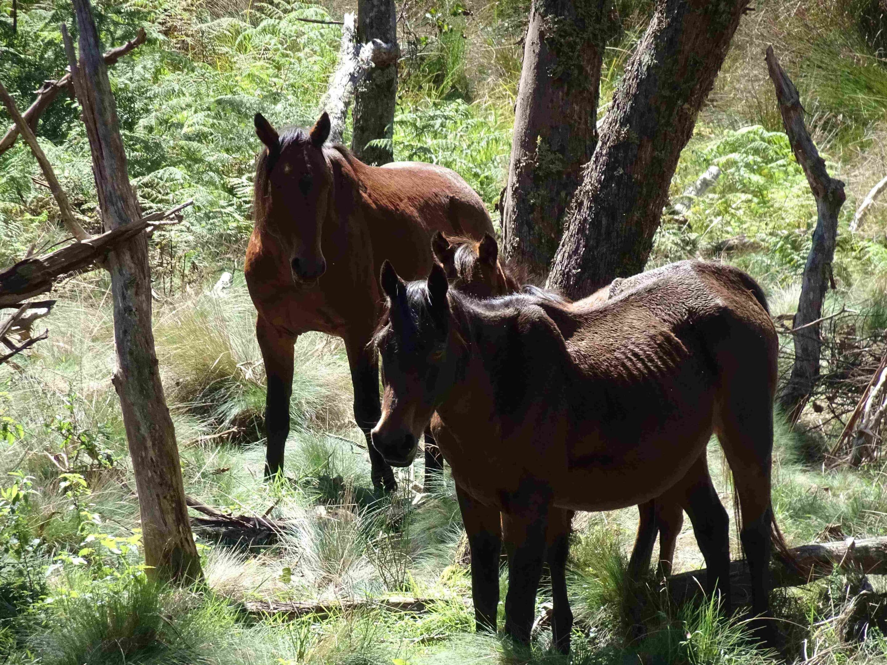
Following a leisurely lunch at Polblue picnic area we did the 3km Polblue Swamp Walk. The well maintained track and boardwalk took us through the wetlands and high altitude forest of the Barrington Tops Plateau. The Polblue Swamp is a large sphagnum moss bog which acts like a huge sponge soaking up water during wet weather and slowly releasing it to create a constant flow of water forming the headwaters of the Hunter River which flows to Newcastle. A mesmerizing channel of icy water filled with vivid green water weeds flows through the swamp. Snow gums and mountain gums surround the swamp. Disappointingly many pests also are in the area including pigs, brumbies (we saw four at the swamp edge), Scotch Broom, thistles, nettles and blackberry vines.
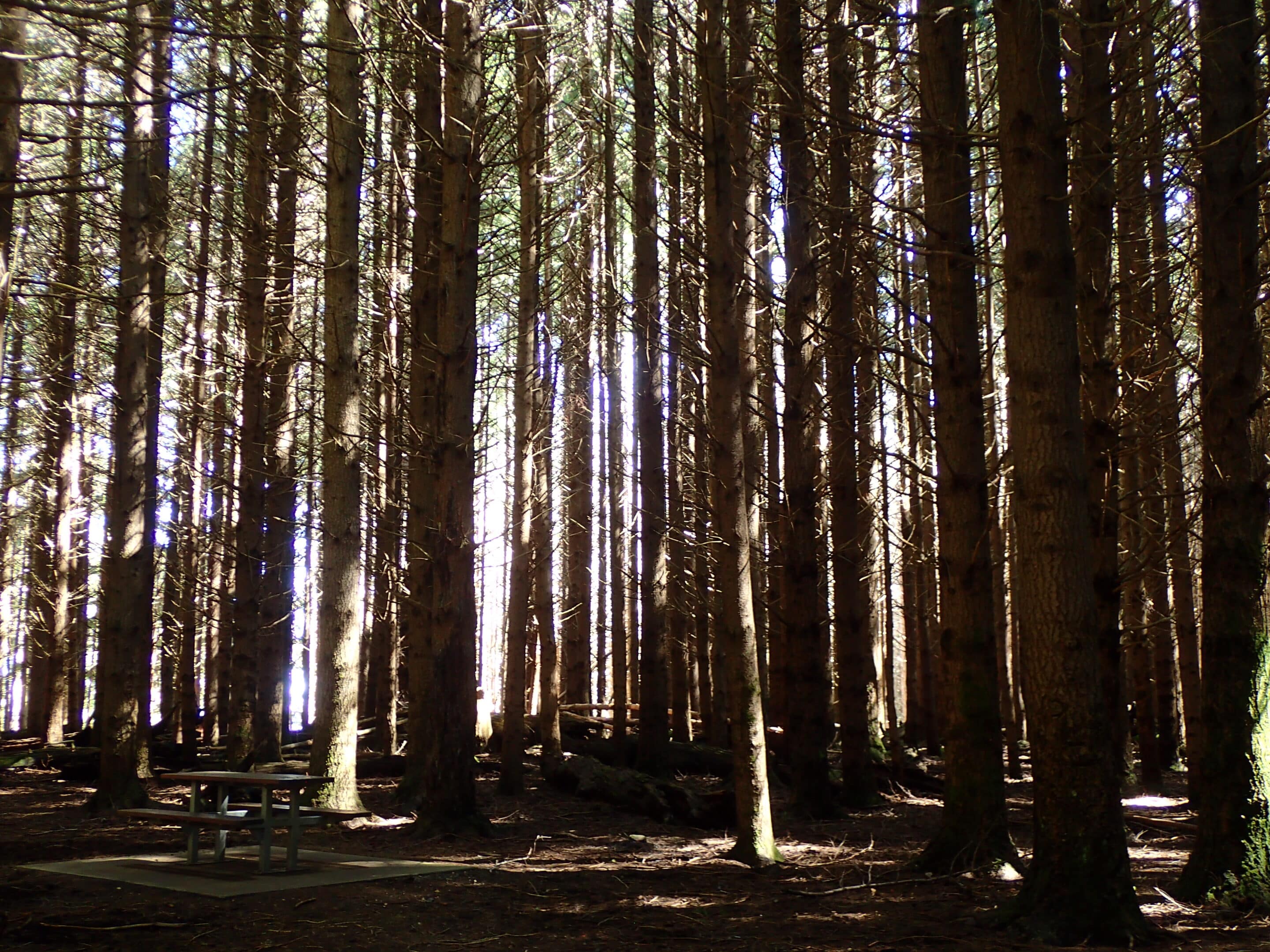
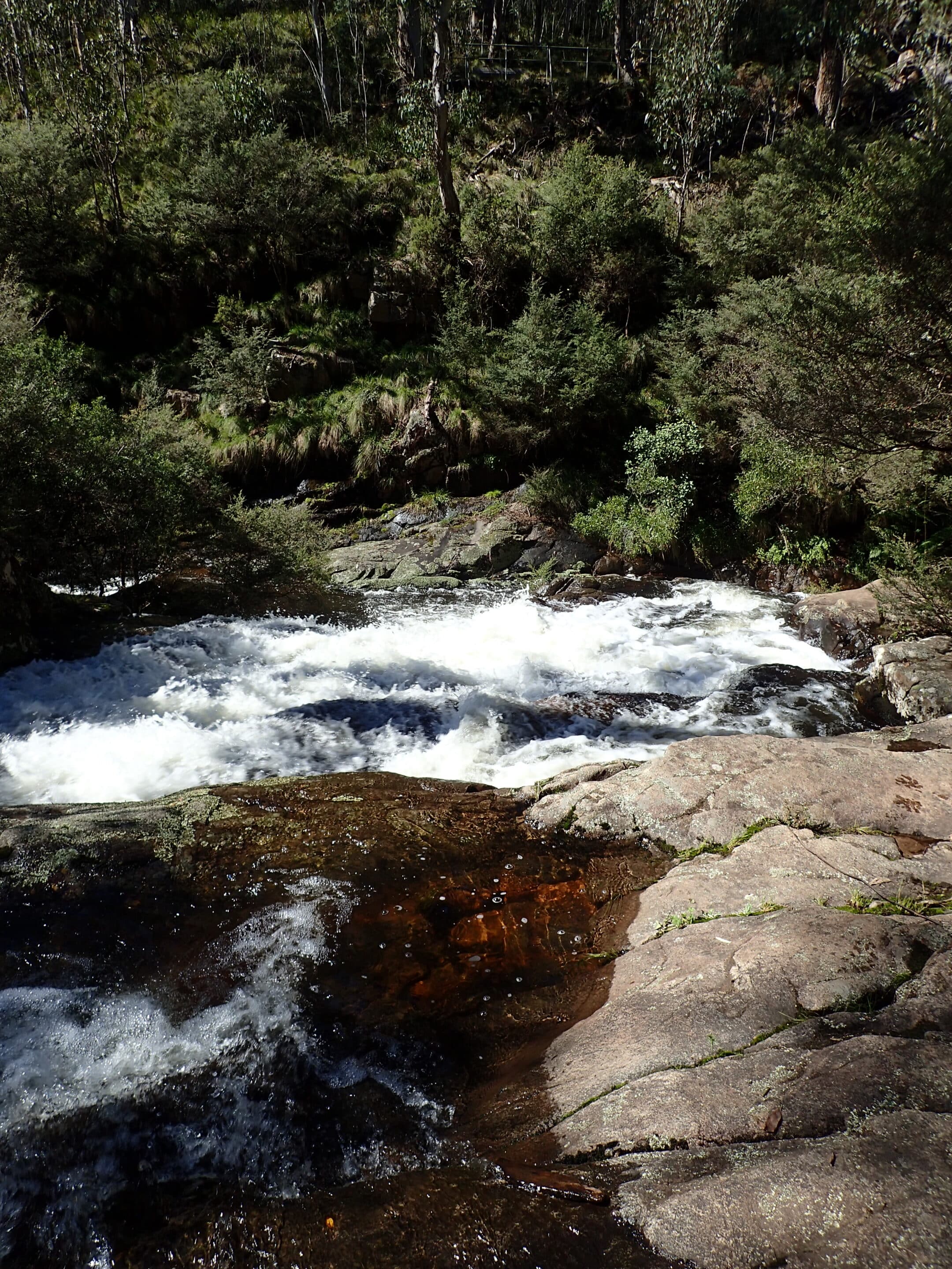
Returning towards camp we stopped at the Firs in the Stewarts Brook State Forest. This picnic area is surrounded by thickly planted old Douglas pine trees. Little light reaches the forest floor giving it an eerie feeling. This was once a timber growing test area for possible commercial use. Polblue Falls was our final stop before returning to camp. There is a short walk to the Polblue Creek water’s edge and on to a viewing platform. These are the largest, yet small, accessible falls on the plateau.
Our second night at Gummi Falls was warmer than the first but the campfire was appreciated just as much.
Saturday 5 April 2025
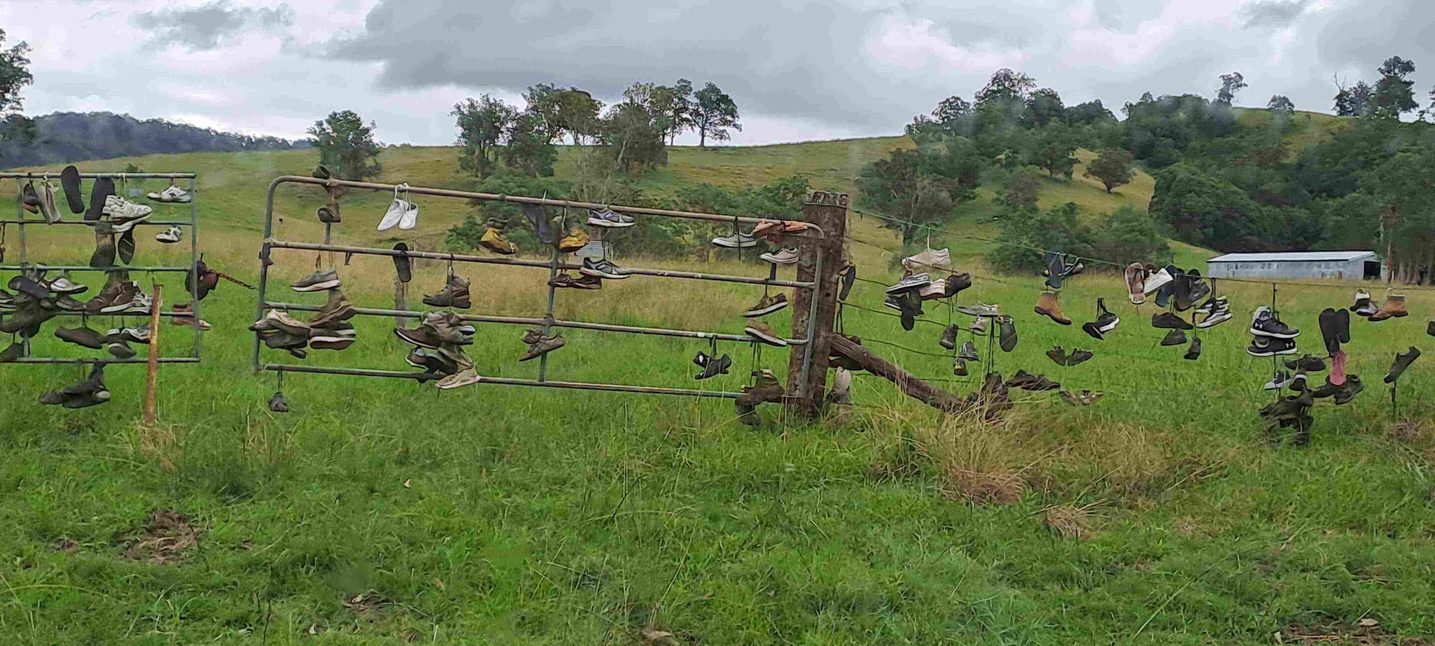
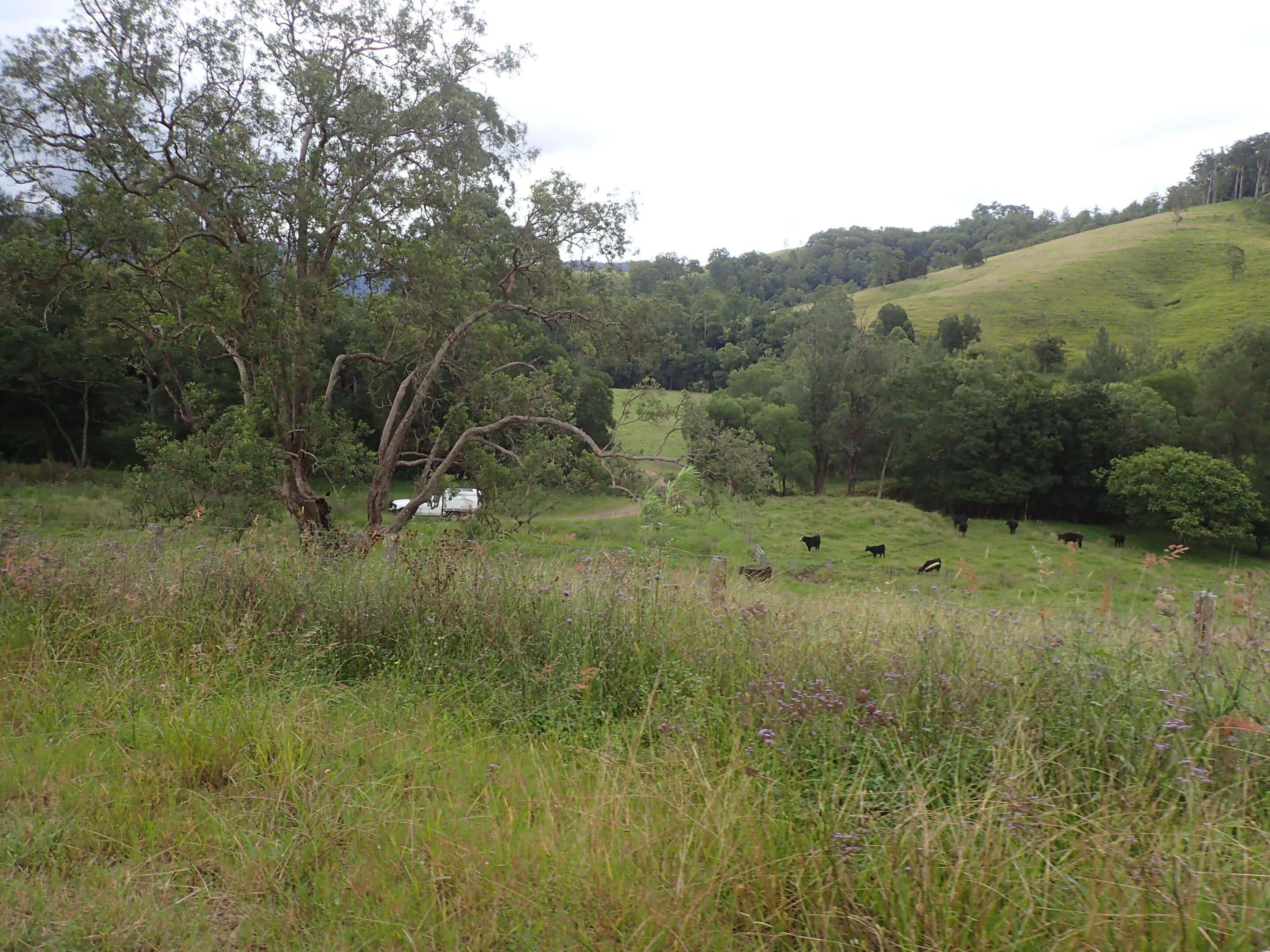
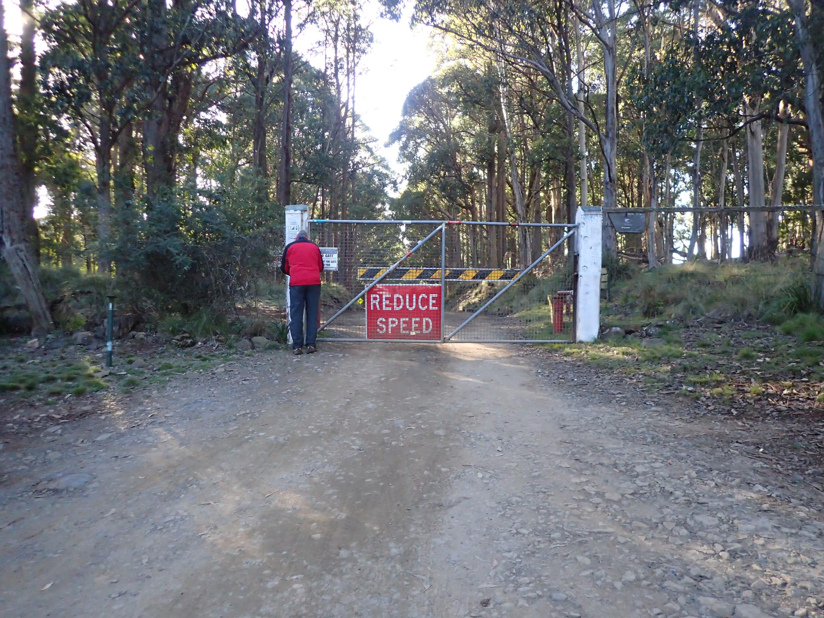
We departed camp heading out to the west of the Barrington Tops NP through the Dingo Gate to Scone. The views as we descended the Tops were magnificent. After a quick stop to refuel in Scone we headed through farmland along Glenbawn Road, crossing Pages River causeway, to Rouchel. Wedge-tailed eagles soared above us. Onwards on Stoney Creek Road, Albano Road and after a quick break at Bowmans Creek we headed to Lake St Clair. The drive then climbed again as we headed for Callicoma Hill, our final campsite.
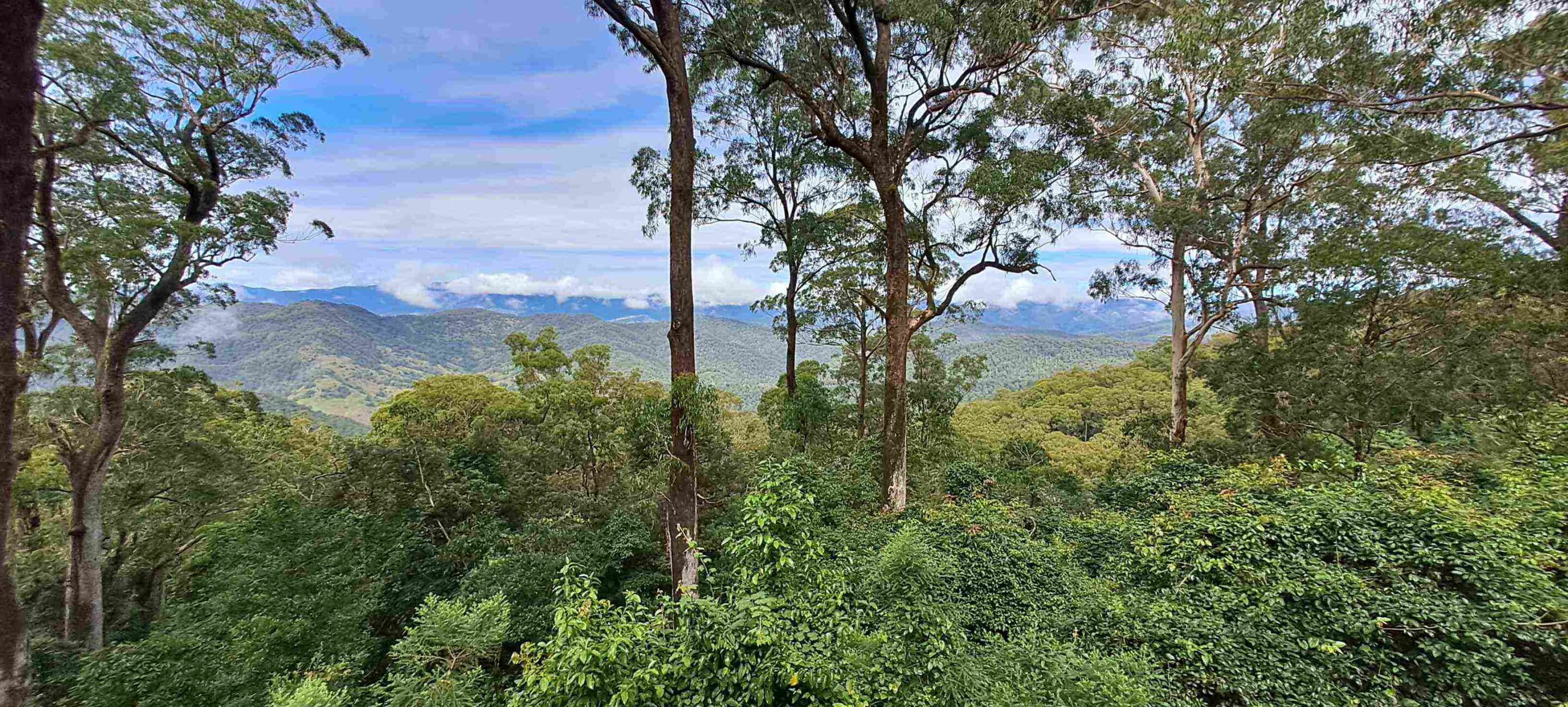
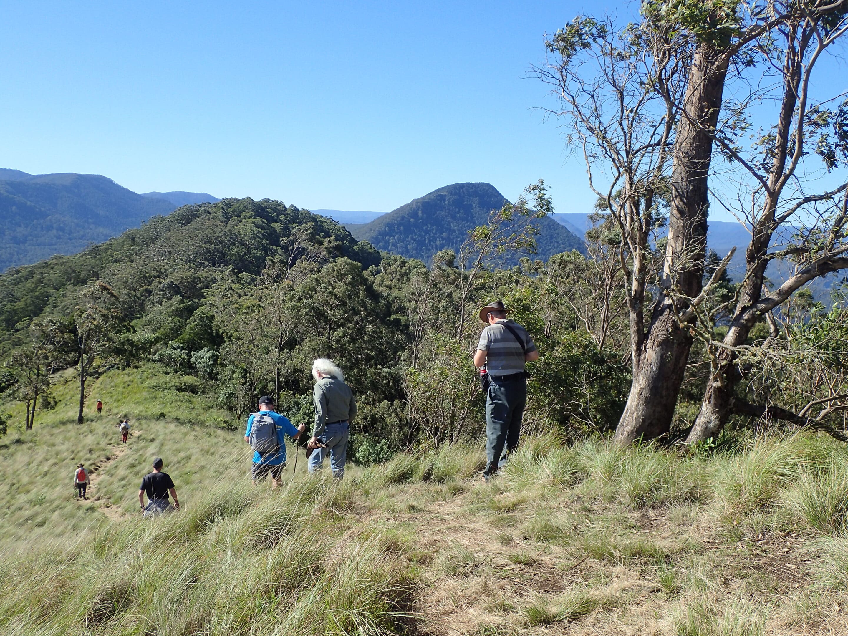
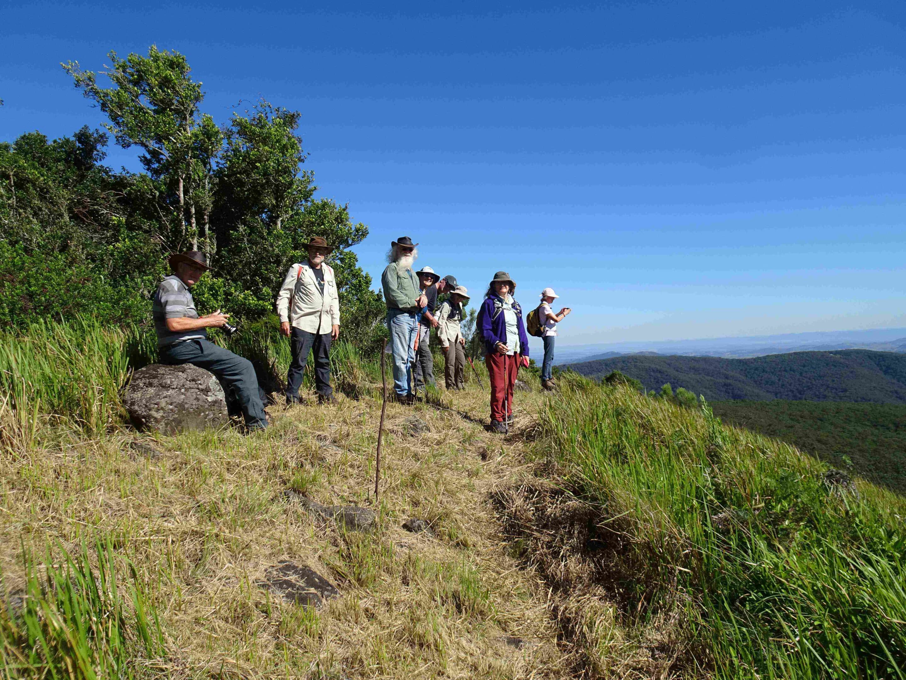
The Darkes remained at camp to undertake some repairs including new bushes on the rear shock absorbers. The rest of the group continued the drive upward into Mt Royal NP stopping at Youngville campground to walk to Pieries Peak (3km return). The views of the Hunter Valley forests stretched out as far as we could see.
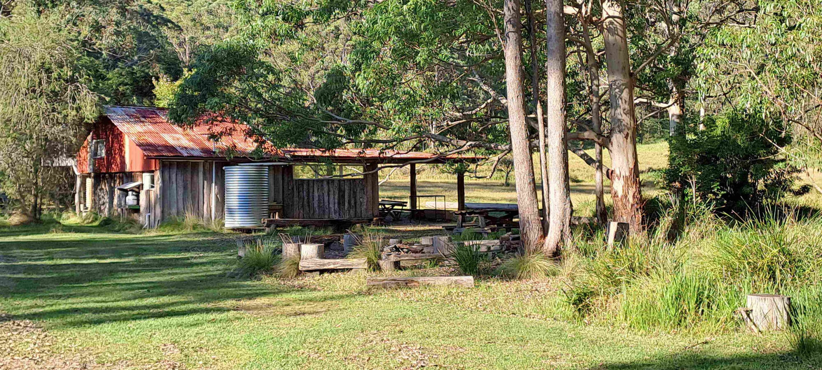
Callicoma Hill camp was a wonderful venue for our final night on the track. A hot shower, a game of boules, nibbles around the campfire, another trivia quiz, friendly conversation, and no rain made for a perfect end.
Sunday 6 April 2025
Trip members made their separate ways. Some headed for home, some journeyed further. But all vehicles needed a thorough wash.
Thank you to Chris and Hope for putting together this taste of the Hunter. We all enjoyed our adventure and are looking forward to returning in the near future for a little more ‘tasting’.

